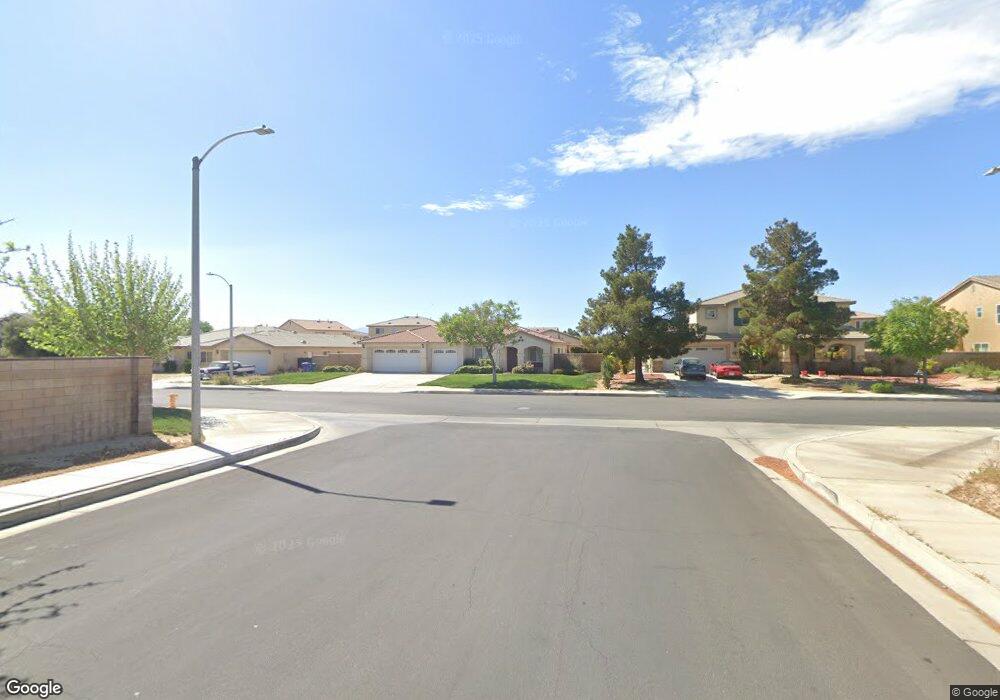
1702 E Miki Way Lancaster, CA 93535
East Lancaster NeighborhoodEstimated Value: $503,606 - $574,000
4
Beds
3
Baths
2,378
Sq Ft
$228/Sq Ft
Est. Value
About This Home
This home is located at 1702 E Miki Way, Lancaster, CA 93535 and is currently estimated at $541,152, approximately $227 per square foot. 1702 E Miki Way is a home located in Los Angeles County with nearby schools including Jack Northrop Elementary School, New Vista Middle School, and Eastside High School.
Ownership History
Date
Name
Owned For
Owner Type
Purchase Details
Closed on
Oct 6, 2023
Sold by
Mcferren Andra M
Bought by
Andra And Consuelo Mcferren 2023 Trust and Mcferren
Current Estimated Value
Purchase Details
Closed on
Jun 7, 2012
Sold by
Mcferren Andra and Mcferren Consuelo
Bought by
Mcferren Andra
Home Financials for this Owner
Home Financials are based on the most recent Mortgage that was taken out on this home.
Original Mortgage
$334,850
Interest Rate
3.77%
Mortgage Type
New Conventional
Purchase Details
Closed on
Apr 4, 2006
Sold by
K Hovnanian Forecast Homes Inc
Bought by
Mcferren Andra
Home Financials for this Owner
Home Financials are based on the most recent Mortgage that was taken out on this home.
Original Mortgage
$43,850
Interest Rate
6.41%
Mortgage Type
Stand Alone Second
Create a Home Valuation Report for This Property
The Home Valuation Report is an in-depth analysis detailing your home's value as well as a comparison with similar homes in the area
Home Values in the Area
Average Home Value in this Area
Purchase History
| Date | Buyer | Sale Price | Title Company |
|---|---|---|---|
| Andra And Consuelo Mcferren 2023 Trust | -- | None Listed On Document | |
| Mcferren Andra | -- | None Available | |
| Mcferren Andra | $439,000 | Orange Coast Title Company |
Source: Public Records
Mortgage History
| Date | Status | Borrower | Loan Amount |
|---|---|---|---|
| Previous Owner | Mcferren Andra | $334,850 | |
| Previous Owner | Mcferren Andra | $43,850 | |
| Previous Owner | Mcferren Andra | $350,750 |
Source: Public Records
Tax History
| Year | Tax Paid | Tax Assessment Tax Assessment Total Assessment is a certain percentage of the fair market value that is determined by local assessors to be the total taxable value of land and additions on the property. | Land | Improvement |
|---|---|---|---|---|
| 2025 | $7,548 | $510,000 | $199,000 | $311,000 |
| 2024 | $7,548 | $510,000 | $199,000 | $311,000 |
| 2023 | $7,301 | $493,000 | $192,000 | $301,000 |
| 2022 | $7,069 | $478,100 | $186,600 | $291,500 |
| 2021 | $5,600 | $384,000 | $149,900 | $234,100 |
| 2019 | $4,955 | $333,000 | $130,000 | $203,000 |
| 2018 | $4,943 | $333,000 | $130,000 | $203,000 |
| 2016 | $4,127 | $246,000 | $95,700 | $150,300 |
| 2015 | $3,815 | $220,000 | $85,600 | $134,400 |
| 2014 | $3,499 | $191,000 | $74,300 | $116,700 |
Source: Public Records
Map
Nearby Homes
- 1554 Granville Way
- 1848 Trudgeon Ave
- 0 St Unit 26002646
- 43711 16th St E
- 1519 Michelle Ave
- 43525 Palos Way
- 1642 Bisbee Place
- 43635 Castle Cir
- 1518 E Avenue J-12
- 1518 E Avenue j12
- 43709 Castle Cir
- 43527 Grange St
- 87 E Avenue J 12
- 117 E Avenue J 12
- 43415 Emilia Ln
- 43815 Silver Bow Rd
- 1565 Astoria Ave
- 4 Melody Ln
- 43601 Rembrandt St
- 43927 Fallon Dr
- 1658 E Miki Way
- 1710 E Miki Way
- 1705 Thomas Dr
- 1659 Thomas Dr
- 1713 Thomas Dr
- 1648 E Miki Way
- 1707 E Miki Way
- 1649 Thomas Dr
- 1725 Thomas Dr
- 1726 E Miki Way
- 1655 E Miki Way
- 1715 E Miki Way
- 1733 Thomas Dr
- 1641 Thomas Dr
- 1723 E Miki Way
- 1647 E Miki Way
- 1638 E Miki Way
- 1708 Thomas Dr
- 1662 Thomas Dr
- 1739 Thomas Dr
Your Personal Tour Guide
Ask me questions while you tour the home.