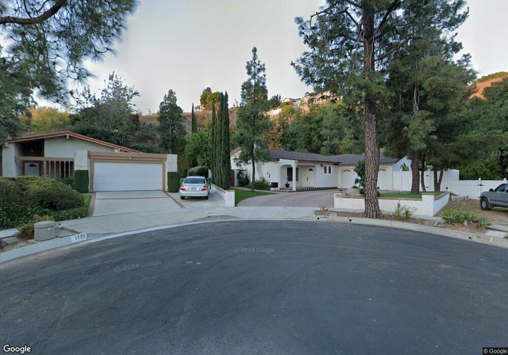
1702 Mensha Ct Diamond Bar, CA 91765
Estimated Value: $950,000 - $1,116,000
2
Beds
2
Baths
1,620
Sq Ft
$633/Sq Ft
Est. Value
About This Home
This home is located at 1702 Mensha Ct, Diamond Bar, CA 91765 and is currently estimated at $1,025,666, approximately $633 per square foot. 1702 Mensha Ct is a home located in Los Angeles County with nearby schools including Maple Hill Elementary School, Chaparral Middle School, and Diamond Bar High School.
Ownership History
Date
Name
Owned For
Owner Type
Purchase Details
Closed on
Mar 9, 2000
Sold by
Shepard Chris and The Mensha Trust
Bought by
Kirkeby John T
Current Estimated Value
Home Financials for this Owner
Home Financials are based on the most recent Mortgage that was taken out on this home.
Original Mortgage
$164,800
Outstanding Balance
$55,893
Interest Rate
8.3%
Estimated Equity
$969,773
Purchase Details
Closed on
Dec 21, 1999
Sold by
Huang Julia R
Bought by
Thayer Dale and The Mensha Trust
Purchase Details
Closed on
Oct 29, 1998
Sold by
Family Trust Cline John J Jr And Nancy P Trs
Bought by
Huang Julia R
Home Financials for this Owner
Home Financials are based on the most recent Mortgage that was taken out on this home.
Original Mortgage
$148,500
Interest Rate
6.73%
Create a Home Valuation Report for This Property
The Home Valuation Report is an in-depth analysis detailing your home's value as well as a comparison with similar homes in the area
Home Values in the Area
Average Home Value in this Area
Purchase History
| Date | Buyer | Sale Price | Title Company |
|---|---|---|---|
| Kirkeby John T | $208,000 | American Title Co | |
| Thayer Dale | $156,455 | California Counties Title Co | |
| Huang Julia R | $165,000 | First American Title Co |
Source: Public Records
Mortgage History
| Date | Status | Borrower | Loan Amount |
|---|---|---|---|
| Open | Kirkeby John T | $164,800 | |
| Previous Owner | Huang Julia R | $148,500 |
Source: Public Records
Tax History Compared to Growth
Tax History
| Year | Tax Paid | Tax Assessment Tax Assessment Total Assessment is a certain percentage of the fair market value that is determined by local assessors to be the total taxable value of land and additions on the property. | Land | Improvement |
|---|---|---|---|---|
| 2025 | $5,401 | $409,834 | $233,914 | $175,920 |
| 2024 | $5,401 | $401,799 | $229,328 | $172,471 |
| 2023 | $5,229 | $393,922 | $224,832 | $169,090 |
| 2022 | $5,072 | $386,199 | $220,424 | $165,775 |
| 2021 | $4,975 | $378,627 | $216,102 | $162,525 |
| 2019 | $4,822 | $367,399 | $209,694 | $157,705 |
| 2018 | $4,586 | $360,196 | $205,583 | $154,613 |
| 2016 | $4,081 | $330,437 | $197,600 | $132,837 |
| 2015 | $3,421 | $265,986 | $194,632 | $71,354 |
| 2014 | $3,442 | $260,777 | $190,820 | $69,957 |
Source: Public Records
Map
Nearby Homes
- 1522 Deerfoot Dr
- 1739 Shadehill Place
- 1806 Morning Canyon Rd
- 2119 Dublin Ln Unit 3
- 2256 Shady Hills Dr
- 2282 Shady Hills Dr
- 2221 Dublin Ln Unit 2
- 1826 Wellspring Dr
- 22455 Ridge Line Rd
- 22407 Birds Eye Dr
- 22586 Pacific Ln
- 22536 Ridge Line Rd
- 1714 Roundtree Cir
- 1721 Cliffbranch Dr
- 2118 Tierra Loma Dr
- 22939 Ridge Line Rd
- 22499 Birds Eye Dr
- 21600 Laurelrim Dr Unit B
- 22517 Lazy Meadow Dr
- 23072 Aspen Knoll Dr
- 1708 Mensha Ct
- 1701 Mensha Ct
- 1707 Mensha Ct
- 1714 Mensha Ct
- 1715 Mensha Ct
- 1645 Ano Nuevo Dr
- 1710 Kiowa Crest Dr
- 1720 Mensha Ct
- 1640 Kiowa Crest Dr
- 1702 Kiowa Crest Dr
- 1724 Kiowa Crest Dr
- 1652 Kiowa Crest Dr
- 1710 Ano Nuevo Dr
- 1726 Mensha Ct
- 1704 Ano Nuevo Dr
- 1635 Ano Nuevo Dr
- 1718 Ano Nuevo Dr
- 1652 Ano Nuevo Dr
- 1726 Ano Nuevo Dr
- 1646 Kiowa Crest Dr