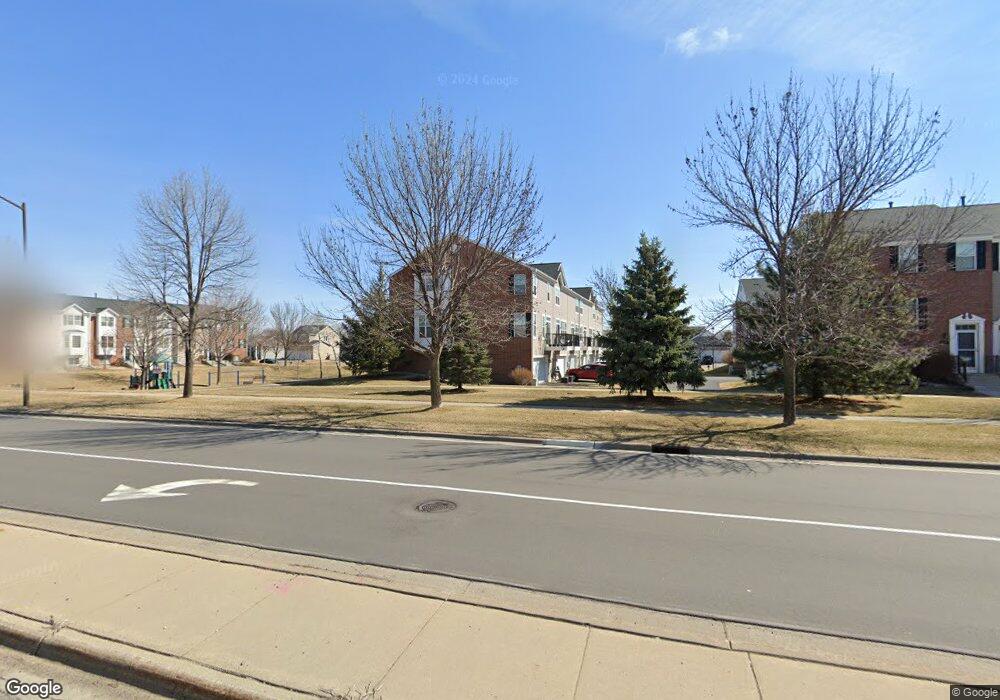
1704 Riverside Dr Shakopee, MN 55379
Estimated Value: $294,000 - $316,000
3
Beds
3
Baths
1,686
Sq Ft
$181/Sq Ft
Est. Value
About This Home
This home is located at 1704 Riverside Dr, Shakopee, MN 55379 and is currently estimated at $304,852, approximately $180 per square foot. 1704 Riverside Dr is a home located in Scott County with nearby schools including Red Oak Elementary School, Shakopee West Middle School, and Shakopee Senior High School.
Ownership History
Date
Name
Owned For
Owner Type
Purchase Details
Closed on
Jan 6, 2025
Sold by
Gamble Kay Deann
Bought by
Zimmerman Kay Deann
Current Estimated Value
Purchase Details
Closed on
Jul 18, 2024
Sold by
Nguyen Thi
Bought by
Cameron Thomas and Cameron Nicole Thomas
Purchase Details
Closed on
Jul 6, 2021
Sold by
Gamble Kay Deann
Bought by
Gamble Kay Deann and Gamble Jorad Ian
Purchase Details
Closed on
Feb 27, 2020
Sold by
Karels Andrew P
Bought by
Karels Paul and Karels Heather
Home Financials for this Owner
Home Financials are based on the most recent Mortgage that was taken out on this home.
Original Mortgage
$188,000
Interest Rate
3.4%
Mortgage Type
New Conventional
Purchase Details
Closed on
Feb 27, 2004
Sold by
The Ryland Group Inc
Bought by
Gamble Kay D
Create a Home Valuation Report for This Property
The Home Valuation Report is an in-depth analysis detailing your home's value as well as a comparison with similar homes in the area
Home Values in the Area
Average Home Value in this Area
Purchase History
| Date | Buyer | Sale Price | Title Company |
|---|---|---|---|
| Zimmerman Kay Deann | $500 | None Listed On Document | |
| Cameron Thomas | $320,000 | American Title | |
| Gamble Kay Deann | -- | None Listed On Document | |
| Karels Paul | $170,000 | Titlesmart Inc | |
| Gamble Kay D | $232,506 | -- |
Source: Public Records
Mortgage History
| Date | Status | Borrower | Loan Amount |
|---|---|---|---|
| Previous Owner | Karels Paul | $188,000 |
Source: Public Records
Tax History Compared to Growth
Tax History
| Year | Tax Paid | Tax Assessment Tax Assessment Total Assessment is a certain percentage of the fair market value that is determined by local assessors to be the total taxable value of land and additions on the property. | Land | Improvement |
|---|---|---|---|---|
| 2025 | $2,864 | $302,100 | $106,500 | $195,600 |
| 2024 | $2,720 | $288,200 | $101,400 | $186,800 |
| 2023 | $2,794 | $264,500 | $71,000 | $193,500 |
| 2022 | $2,638 | $267,300 | $72,700 | $194,600 |
| 2021 | $2,346 | $221,000 | $57,000 | $164,000 |
| 2020 | $2,498 | $217,400 | $52,500 | $164,900 |
| 2019 | $2,472 | $205,600 | $44,400 | $161,200 |
| 2018 | $2,496 | $0 | $0 | $0 |
| 2016 | $2,276 | $0 | $0 | $0 |
| 2014 | -- | $0 | $0 | $0 |
Source: Public Records
Map
Nearby Homes
- 1782 Switchgrass Cir
- 8042 Stratford Cir S
- 8490 Moraine Cir
- 7450 Ridge Creek Trail
- 1339 Yorkshire Ln
- 7499 Derby Ln
- 8574 Mcguire Ct E
- 7427 Water St
- 7696 Waverly Ave
- 9009 Preserve Trail
- 13134 Falcons Way
- 7660 Waverly Ave
- 7698 22nd Ave E
- 7638 22nd Ave S
- 7499 22nd Ave S
- 7675 22nd Ave S
- 7687 22nd Ave S
- 9007 Meadow Place
- 8867 Preserve Place
- 7422 Waverly Ave
- 1706 Riverside Dr
- 1702 Riverside Dr
- 1708 Riverside Dr
- 1710 Riverside Dr
- 1719 Crossings Blvd
- 1712 Riverside Dr
- 1721 Crossings Blvd
- 1714 Riverside Dr
- 1723 Crossings Blvd
- 1718 Riverside Dr
- 1725 Crossings Blvd
- 1720 Riverside Dr
- 1727 Crossings Blvd
- 1722 Riverside Dr
- 1729 Crossings Blvd
- 1689 Riverside Dr
- 1724 Riverside Dr
- 1694 Riverside
- 1690 Riverside
- 1698 Riverside