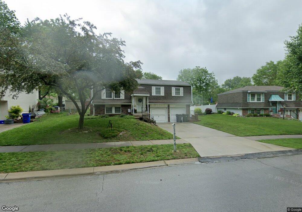
1704 W Normandy St Olathe, KS 66061
Estimated Value: $351,000 - $380,000
3
Beds
1
Bath
1,008
Sq Ft
$364/Sq Ft
Est. Value
About This Home
This home is located at 1704 W Normandy St, Olathe, KS 66061 and is currently estimated at $367,112, approximately $364 per square foot. 1704 W Normandy St is a home located in Johnson County with nearby schools including Rolling Ridge Elementary School, Oregon Trail Middle School, and Olathe West High School.
Ownership History
Date
Name
Owned For
Owner Type
Purchase Details
Closed on
Jun 24, 2025
Sold by
Legacy Property Solutions Llc
Bought by
Thorn Natasha Jo
Current Estimated Value
Purchase Details
Closed on
Nov 6, 2024
Sold by
Carrico Edna A
Bought by
Legacy Property Solutions Llc
Purchase Details
Closed on
Apr 16, 2024
Sold by
Carrico Edna A
Bought by
Carrico Edna A and Mccray Krystle A
Purchase Details
Closed on
Dec 17, 2021
Sold by
Sale Margaret G
Bought by
Sale Margaret G and Carrico Edna A
Create a Home Valuation Report for This Property
The Home Valuation Report is an in-depth analysis detailing your home's value as well as a comparison with similar homes in the area
Home Values in the Area
Average Home Value in this Area
Purchase History
| Date | Buyer | Sale Price | Title Company |
|---|---|---|---|
| Thorn Natasha Jo | -- | Platinum Title | |
| Legacy Property Solutions Llc | -- | Chicago Title Company | |
| Legacy Property Solutions Llc | -- | Chicago Title Company | |
| Carrico Edna A | -- | None Listed On Document | |
| Sale Margaret G | -- | None Listed On Document |
Source: Public Records
Tax History Compared to Growth
Tax History
| Year | Tax Paid | Tax Assessment Tax Assessment Total Assessment is a certain percentage of the fair market value that is determined by local assessors to be the total taxable value of land and additions on the property. | Land | Improvement |
|---|---|---|---|---|
| 2024 | $3,017 | $27,393 | $5,637 | $21,756 |
| 2023 | $3,125 | $27,531 | $5,127 | $22,404 |
| 2022 | $2,713 | $23,311 | $4,461 | $18,850 |
| 2021 | $2,542 | $20,700 | $4,461 | $16,239 |
| 2020 | $2,460 | $19,860 | $4,058 | $15,802 |
| 2019 | $2,363 | $18,963 | $4,058 | $14,905 |
| 2018 | $2,261 | $18,032 | $4,058 | $13,974 |
| 2017 | $2,124 | $16,778 | $3,382 | $13,396 |
| 2016 | $1,994 | $16,169 | $3,079 | $13,090 |
| 2015 | $1,928 | $15,652 | $3,079 | $12,573 |
| 2013 | -- | $14,985 | $3,079 | $11,906 |
Source: Public Records
Map
Nearby Homes
- 531 S Oscar St
- 1952 W Ferrel Dr
- 233 S Chambery Dr
- 1604 W Cedar St
- 1947 W Oak St
- 1200 W Sheridan St
- 1106 W Sheridan St
- 1545 W Park St
- 2427 W Fredrickson Dr
- 1425 W Poplar St
- 109 S Diane Dr
- 119 S Diane Dr
- 115 S Diane Dr
- 2251 W Dartmouth St
- 2255 W Dartmouth St
- 2291 W Dartmouth St
- 2295 W Dartmouth St
- 2607 W Park St
- 812 S Troost St
- 2651 W Park St
- 1708 W Normandy St
- 1702 W Normandy St
- 1617 W Brittany St
- 1613 W Brittany St
- 1712 W Normandy Dr
- 1712 W Normandy St
- 1621 W Brittany St
- 1609 W Brittany St
- 1700 W Normandy St
- 1709 W Normandy St
- 1708 W Ferrel Dr
- 1625 W Brittany St
- 1713 W Normandy Dr
- 1716 W Normandy St
- 1712 W Ferrel Dr
- 1608 W Ferrel Dr
- 1713 W Normandy St
- 1605 W Brittany St
- 1629 W Brittany St