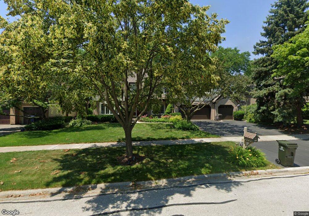
1705 Friar Ln Naperville, IL 60565
Greene Valley NeighborhoodEstimated Value: $827,000 - $914,000
4
Beds
3
Baths
3,628
Sq Ft
$244/Sq Ft
Est. Value
About This Home
This home is located at 1705 Friar Ln, Naperville, IL 60565 and is currently estimated at $884,382, approximately $243 per square foot. 1705 Friar Ln is a home located in DuPage County with nearby schools including Ranch View Elementary School, Kennedy Junior High School, and Naperville Central High School.
Ownership History
Date
Name
Owned For
Owner Type
Purchase Details
Closed on
Jun 10, 2008
Sold by
Robbins Roberta M and Robbins John H
Bought by
Baker Mark W and Baker Mary M
Current Estimated Value
Home Financials for this Owner
Home Financials are based on the most recent Mortgage that was taken out on this home.
Original Mortgage
$417,000
Outstanding Balance
$267,587
Interest Rate
6.05%
Mortgage Type
Purchase Money Mortgage
Estimated Equity
$616,795
Purchase Details
Closed on
Mar 29, 2004
Sold by
Robbins John H and Robbins Roberta M
Bought by
Robbins Roberta M and Robbins John E
Create a Home Valuation Report for This Property
The Home Valuation Report is an in-depth analysis detailing your home's value as well as a comparison with similar homes in the area
Home Values in the Area
Average Home Value in this Area
Purchase History
| Date | Buyer | Sale Price | Title Company |
|---|---|---|---|
| Baker Mark W | $565,000 | Ctic | |
| Robbins Roberta M | -- | -- |
Source: Public Records
Mortgage History
| Date | Status | Borrower | Loan Amount |
|---|---|---|---|
| Open | Baker Mark W | $417,000 |
Source: Public Records
Tax History Compared to Growth
Tax History
| Year | Tax Paid | Tax Assessment Tax Assessment Total Assessment is a certain percentage of the fair market value that is determined by local assessors to be the total taxable value of land and additions on the property. | Land | Improvement |
|---|---|---|---|---|
| 2024 | $14,982 | $252,559 | $68,306 | $184,253 |
| 2023 | $14,458 | $230,500 | $62,340 | $168,160 |
| 2022 | $13,819 | $219,520 | $59,370 | $160,150 |
| 2021 | $13,320 | $211,210 | $57,120 | $154,090 |
| 2020 | $13,039 | $207,410 | $56,090 | $151,320 |
| 2019 | $12,667 | $198,440 | $53,660 | $144,780 |
| 2018 | $12,670 | $198,440 | $53,660 | $144,780 |
| 2017 | $12,421 | $191,750 | $51,850 | $139,900 |
| 2016 | $12,180 | $184,820 | $49,980 | $134,840 |
| 2015 | $12,114 | $174,050 | $47,070 | $126,980 |
| 2014 | $12,325 | $171,590 | $44,830 | $126,760 |
| 2013 | $12,139 | $172,000 | $44,940 | $127,060 |
Source: Public Records
Map
Nearby Homes
- 1817 Appaloosa Dr
- 1704 Kenyon Dr
- 1519 77th St
- 1340 Auburn Ave
- 1323 Auburn Ave
- 23W731 Hobson Rd
- 23W711 Hobson Rd
- 1216 Tranquility Ct
- 2248 Aster Ct
- 7S610 Lynn Dr
- 816 Spindletree Ave
- 707 Crestview Dr
- 1449 Whitespire Ct Unit 5104
- 6812 Greene Rd
- 621 Bourbon Ct
- 2230 Keim Rd Unit 3B
- 1006 Bankfield Ct
- 25 W 500 Royce Rd
- 3425 83rd St Unit D5
- 3207 Foxridge Ct
- 1709 Friar Ln
- 1694 Greene Ridge Dr
- 1698 Greene Ridge Dr
- 1704 Friar Ln
- 1727 Atwood Cir
- 1708 Friar Ln
- 1702 Greene Ridge Dr
- 1723 Atwood Cir
- 1700 Friar Ln
- 1735 Atwood Cir
- 1719 Atwood Cir
- 1655 Friar Ln
- 1706 Greene Ridge Dr
- 1684 Greene Ridge Dr
- 1697 Greene Ridge Dr
- 1739 Atwood Cir
- 1654 Friar Ln
- 1710 Greene Ridge Dr
- 1701 Greene Ridge Dr
- 1715 Atwood Cir