1705 Livingston Ave Unit F Saint Paul, MN 55118
Estimated Value: $249,000 - $259,000
2
Beds
2
Baths
992
Sq Ft
$256/Sq Ft
Est. Value
About This Home
This home is located at 1705 Livingston Ave Unit F, Saint Paul, MN 55118 and is currently estimated at $254,001, approximately $256 per square foot. 1705 Livingston Ave Unit F is a home located in Dakota County with nearby schools including Garlough Environmental Magnet, Heritage E-STEM Magnet School, and Two Rivers High School.
Ownership History
Date
Name
Owned For
Owner Type
Purchase Details
Closed on
Aug 30, 2006
Sold by
Dedrickson Heidi C and Dedrickson Troy
Bought by
Lindquist Dorothy D
Current Estimated Value
Purchase Details
Closed on
Aug 23, 2002
Sold by
Gutierrez Pedro and Gutierrez Brenda L
Bought by
Draheim Heidi C
Purchase Details
Closed on
Jul 11, 1996
Sold by
Winters Jeffrey
Bought by
Gutierrez Pedro and Gutierrez Brenda L
Create a Home Valuation Report for This Property
The Home Valuation Report is an in-depth analysis detailing your home's value as well as a comparison with similar homes in the area
Home Values in the Area
Average Home Value in this Area
Purchase History
| Date | Buyer | Sale Price | Title Company |
|---|---|---|---|
| Lindquist Dorothy D | $186,000 | -- | |
| Draheim Heidi C | $170,000 | -- | |
| Gutierrez Pedro | $98,000 | -- |
Source: Public Records
Tax History Compared to Growth
Tax History
| Year | Tax Paid | Tax Assessment Tax Assessment Total Assessment is a certain percentage of the fair market value that is determined by local assessors to be the total taxable value of land and additions on the property. | Land | Improvement |
|---|---|---|---|---|
| 2024 | $1,958 | $176,500 | $33,400 | $143,100 |
| 2023 | $1,766 | $176,500 | $35,400 | $141,100 |
| 2022 | $1,696 | $166,500 | $35,200 | $131,300 |
| 2021 | $1,698 | $149,700 | $30,600 | $119,100 |
| 2020 | $1,720 | $148,800 | $29,200 | $119,600 |
| 2019 | $1,557 | $146,700 | $27,800 | $118,900 |
| 2018 | $1,475 | $130,400 | $26,000 | $104,400 |
| 2017 | $1,382 | $129,200 | $24,100 | $105,100 |
| 2016 | $1,331 | $118,900 | $21,900 | $97,000 |
| 2015 | $1,267 | $88,764 | $16,509 | $72,255 |
| 2014 | -- | $81,461 | $15,036 | $66,425 |
| 2013 | -- | $75,684 | $13,953 | $61,731 |
Source: Public Records
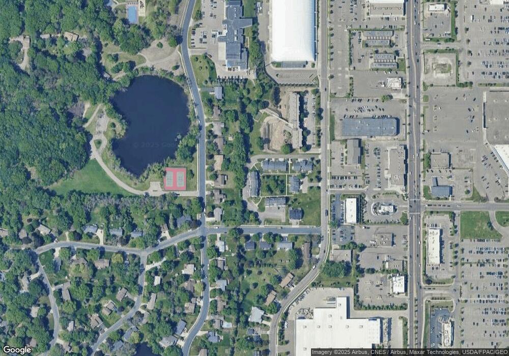
Map
Nearby Homes
- 1701 Livingston Ave Unit B
- 1694 Humboldt Ave
- 8XX Humboldt Ave
- 25 W Kraft Rd
- 48 Thompson Ave W Unit 40
- 180 Wentworth Ave W Unit E
- 170 Wentworth Ave W Unit F
- 1450 Bidwell St Unit 110
- 1620 Charlton St Unit 109
- Capri Plan at Thompson Square East
- Barcelona Plan at Thompson Square East
- Athens Plan at Thompson Square East
- Athens II Plan at Thompson Square East
- Bayfield Plan at Thompson Square East
- Hayward Plan at Thompson Square East
- 1531 Traverse Ln
- 362 Trenton Ln
- 366 Trenton Ln
- 1518 Traverse Ln
- 358 Trenton Ln
- 1705 Livingston Ave Unit E
- 1705 Livingston Ave Unit D
- 1705 Livingston Ave Unit C
- 1705 Livingston Ave Unit A
- 1705 Livingston Ave
- 1715 Livingston Ave Unit E
- 1715 Livingston Ave Unit D
- 1715 Livingston Ave Unit C
- 1715 Livingston Ave Unit B
- 1715 Livingston Ave
- 1695 1695 Livingston-Avenue-
- 1695 1695 Livingston Ave
- 1695 Livingston Ave Unit D
- 1695 Livingston Ave Unit C
- 1695 Livingston Ave Unit B
- 1695 Livingston Ave Unit A
- 1704 Humboldt Ave
- 1712 Humboldt Ave
- 1701 Livingston Ave Unit C
- 1701 Livingston Ave Unit A