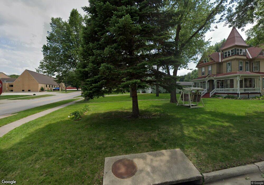
1705 Rock Ridge Rd Rock Rapids, IA 51246
Estimated Value: $359,000 - $559,000
--
Bed
1
Bath
1,819
Sq Ft
$273/Sq Ft
Est. Value
About This Home
This home is located at 1705 Rock Ridge Rd, Rock Rapids, IA 51246 and is currently estimated at $497,260, approximately $273 per square foot. 1705 Rock Ridge Rd is a home with nearby schools including Central Lyon Elementary School and Central Lyon Senior High School.
Ownership History
Date
Name
Owned For
Owner Type
Purchase Details
Closed on
Sep 19, 2024
Sold by
Russell Pedersen Revocable Trust and Pedersen Margo
Bought by
Margo Pedersen Revocable Trust and Pedersen
Current Estimated Value
Purchase Details
Closed on
Jun 17, 2024
Sold by
Pedersen Russell and Pedersen Margo
Bought by
Russell Pedersen Revocable Trust and Margo Pedersen Revocable Trust
Purchase Details
Closed on
Apr 14, 2022
Sold by
Brooke Teeselink
Bought by
Pedersen Russell and Pedersen Margo
Purchase Details
Closed on
Mar 31, 2020
Sold by
Rock Ridge Dev Llc
Bought by
Teeselink Brooke
Create a Home Valuation Report for This Property
The Home Valuation Report is an in-depth analysis detailing your home's value as well as a comparison with similar homes in the area
Home Values in the Area
Average Home Value in this Area
Purchase History
| Date | Buyer | Sale Price | Title Company |
|---|---|---|---|
| Margo Pedersen Revocable Trust | -- | None Listed On Document | |
| Russell Pedersen Revocable Trust | -- | None Listed On Document | |
| Pedersen Russell | -- | None Listed On Document | |
| Teeselink Brooke | $25,000 | None Available |
Source: Public Records
Tax History Compared to Growth
Tax History
| Year | Tax Paid | Tax Assessment Tax Assessment Total Assessment is a certain percentage of the fair market value that is determined by local assessors to be the total taxable value of land and additions on the property. | Land | Improvement |
|---|---|---|---|---|
| 2025 | $4,174 | $588,560 | $45,100 | $543,460 |
| 2024 | $4,174 | $472,440 | $45,100 | $427,340 |
| 2023 | $4,102 | $473,230 | $45,100 | $428,130 |
| 2022 | $4,476 | $407,690 | $45,100 | $362,590 |
| 2021 | $4,476 | $407,690 | $45,100 | $362,590 |
| 2020 | $40 | $2,080 | $2,080 | $0 |
| 2019 | $42 | $3,080 | $0 | $0 |
| 2018 | $40 | $3,080 | $0 | $0 |
| 2017 | $40 | $3,800 | $0 | $0 |
| 2016 | $40 | $3,800 | $0 | $0 |
| 2015 | $40 | $2,800 | $0 | $0 |
| 2014 | $6 | $710 | $0 | $0 |
Source: Public Records
Map
Nearby Homes
- 106 S 15th Ave Unit 1
- 204 S 15th Ave
- 1037 Highway 75
- 104 Cedar Ln
- 601 Mill Pond Rd Unit 2
- 601 Mill Pond Rd Unit 1
- 507 Mill Pond Rd
- 603 Mill Pond Rd
- 505 Mill Pond Rd Unit 2
- 505 Mill Pond Rd Unit 1
- 805 Mill Pond Rd
- 803 Mill Pond Rd
- 801 Mill Pond Rd
- 707 Mill Pond Rd
- 501 Mill Pond Rd
- 405 Mill Pond Rd
- 804 Mill Pond Rd
- 802 Mill Pond Rd
- 800 Mill Pond Rd
- 604 Mill Pond Rd