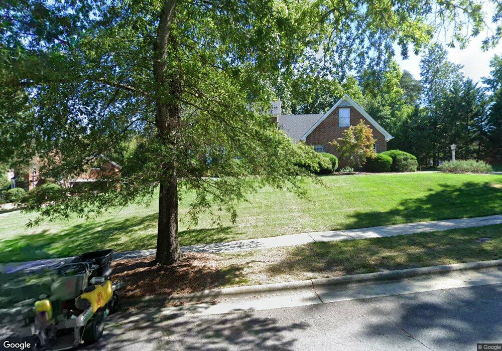
1706 Farnsworth Ct High Point, NC 27262
Greater High Point NeighborhoodEstimated Value: $627,000 - $734,000
4
Beds
4
Baths
3,941
Sq Ft
$167/Sq Ft
Est. Value
About This Home
This home is located at 1706 Farnsworth Ct, High Point, NC 27262 and is currently estimated at $656,526, approximately $166 per square foot. 1706 Farnsworth Ct is a home located in Guilford County with nearby schools including Northwood Elementary School, Ferndale Middle School, and High Point Central High School.
Ownership History
Date
Name
Owned For
Owner Type
Purchase Details
Closed on
May 17, 1988
Bought by
Fariss F Marcus
Current Estimated Value
Create a Home Valuation Report for This Property
The Home Valuation Report is an in-depth analysis detailing your home's value as well as a comparison with similar homes in the area
Home Values in the Area
Average Home Value in this Area
Purchase History
| Date | Buyer | Sale Price | Title Company |
|---|---|---|---|
| Fariss F Marcus | $235,000 | -- |
Source: Public Records
Tax History
| Year | Tax Paid | Tax Assessment Tax Assessment Total Assessment is a certain percentage of the fair market value that is determined by local assessors to be the total taxable value of land and additions on the property. | Land | Improvement |
|---|---|---|---|---|
| 2025 | $6,009 | $436,100 | $60,000 | $376,100 |
| 2024 | $6,009 | $436,100 | $60,000 | $376,100 |
| 2023 | $6,009 | $436,100 | $60,000 | $376,100 |
| 2022 | $5,879 | $436,100 | $60,000 | $376,100 |
| 2021 | $5,564 | $403,800 | $50,000 | $353,800 |
| 2020 | $5,564 | $403,800 | $50,000 | $353,800 |
| 2019 | $5,564 | $403,800 | $0 | $0 |
| 2018 | $5,537 | $403,800 | $0 | $0 |
| 2017 | $5,564 | $403,800 | $0 | $0 |
| 2016 | $5,325 | $379,700 | $0 | $0 |
| 2015 | $5,354 | $379,700 | $0 | $0 |
| 2014 | $5,445 | $379,700 | $0 | $0 |
Source: Public Records
Map
Nearby Homes
- 1616 Heathcliff Rd
- 900 W Lexington Ave
- 1001 Nuthatch Ct
- 914 Flicker Ln
- 2215 Shadow Valley Rd Unit H
- 708 Rockspring Rd
- 744 Celtic Crossing Dr
- 1101 Robin Hood Rd
- 607 Rockspring Rd
- 795 Avalon Springs Ct
- 1312 Gilbrook Ct
- 416 Greenwood Dr
- 4095 Stallion St Unit Lot 19
- 4106 Stallion St Unit Lot 78
- 4094 Stallion St Unit lot 75
- 4090 Stallion St Unit Lot 74
- 1307 Gilbrook Ct
- 4244 Canter Creek Ln Unit 96
- 506 Greenwood Dr
- 510 Greenwood Dr
- 1710 Farnsworth Ct
- 1700 Farnsworth Ct
- 1204 Brookfield Ct
- 1707 Farnsworth Ct
- 1705 Farnsworth Ct
- 1709 Farnsworth Ct
- 1703 Farnsworth Ct
- 1713 Farnsworth Ct
- 1716 Farnsworth Ct
- 1200 Brookfield Ct
- 1701 Farnsworth Ct
- 1704 Heathcliff Rd
- 1715 Farnsworth Ct
- 1708 Heathcliff Rd
- 1718 Farnsworth Ct
- 1205 Brookfield Ct
- 1207 Brookfield Ct
- 1702 Heathcliff Rd
- 1209 Brookfield Ct
- 1717 Farnsworth Ct
Your Personal Tour Guide
Ask me questions while you tour the home.