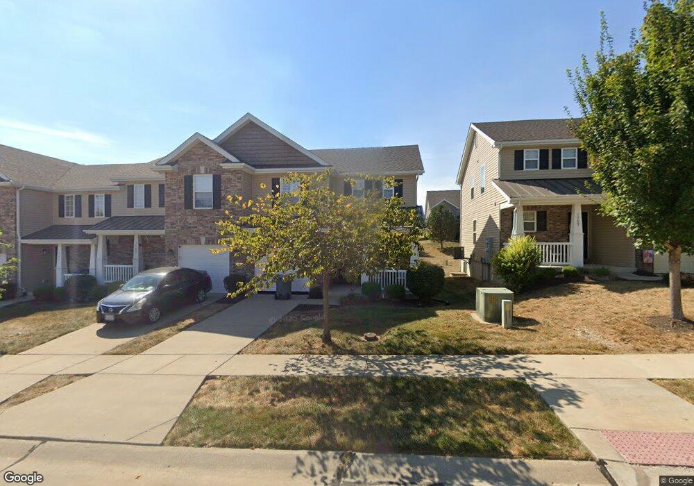
1707 Bromfield Ct O Fallon, MO 63366
Estimated Value: $265,757 - $279,000
3
Beds
3
Baths
1,396
Sq Ft
$195/Sq Ft
Est. Value
About This Home
This home is located at 1707 Bromfield Ct, O Fallon, MO 63366 and is currently estimated at $271,689, approximately $194 per square foot. 1707 Bromfield Ct is a home located in St. Charles County with nearby schools including Mount Hope Elementary School, Fort Zumwalt North Middle School, and Fort Zumwalt North High School.
Ownership History
Date
Name
Owned For
Owner Type
Purchase Details
Closed on
Nov 12, 2015
Sold by
Jones Jerry Lynn and Jones Glenna L
Bought by
Jones Glenna L
Current Estimated Value
Purchase Details
Closed on
May 7, 2015
Sold by
Mcbride St Charles Llc
Bought by
Jones Jerry L and Jones Glenna L
Home Financials for this Owner
Home Financials are based on the most recent Mortgage that was taken out on this home.
Original Mortgage
$55,000
Outstanding Balance
$41,877
Interest Rate
3.68%
Mortgage Type
New Conventional
Estimated Equity
$229,812
Create a Home Valuation Report for This Property
The Home Valuation Report is an in-depth analysis detailing your home's value as well as a comparison with similar homes in the area
Home Values in the Area
Average Home Value in this Area
Purchase History
| Date | Buyer | Sale Price | Title Company |
|---|---|---|---|
| Jones Glenna L | -- | None Available | |
| Jones Jerry L | -- | Benchmark Title Llc |
Source: Public Records
Mortgage History
| Date | Status | Borrower | Loan Amount |
|---|---|---|---|
| Open | Jones Jerry L | $55,000 |
Source: Public Records
Tax History
| Year | Tax Paid | Tax Assessment Tax Assessment Total Assessment is a certain percentage of the fair market value that is determined by local assessors to be the total taxable value of land and additions on the property. | Land | Improvement |
|---|---|---|---|---|
| 2025 | $2,679 | $42,897 | -- | -- |
| 2024 | $2,679 | $40,290 | -- | -- |
| 2023 | $2,680 | $40,290 | -- | -- |
| 2022 | $2,249 | $31,390 | $0 | $0 |
| 2021 | $2,251 | $31,390 | $0 | $0 |
| 2020 | $2,423 | $32,836 | $0 | $0 |
| 2019 | $2,428 | $32,836 | $0 | $0 |
| 2018 | $2,137 | $27,550 | $0 | $0 |
| 2017 | $2,103 | $27,550 | $0 | $0 |
| 2016 | $2,111 | $27,550 | $0 | $0 |
| 2015 | $1,197 | $1,900 | $0 | $0 |
| 2014 | $137 | $1,900 | $0 | $0 |
Source: Public Records
Map
Nearby Homes
- 1314 Woodgrove Park Dr
- 1373 New Charter Ln
- 34 Logan Crossing Cir
- 3.59 Acres Matteson Blvd
- 7.19 Acres Matteson Blvd
- 3.6 Acres Matteson Blvd
- 765 Koch Rd
- 12 Summer Ct
- 1550 Hunters Meadow Dr
- 214 Maryland Dr Unit 26B
- 231 England Dr
- 6 Emerson Ct
- 6 S Boxwood Ln
- 1110 Cypress Dr
- 487 Chatham Dr
- 1358 Deerfield Estates Dr
- 503 Imperial Ct
- 990 Stonecastle Dr
- 1102 Danielle Elizabeth Ct
- 3 Autumn Grove Ct
- 1707 Bromfield Ct Unit 45D
- 1705 Bromfield Ct
- 1705 Bromfield Ct Unit 44D
- 1703 Bromfield Ct
- 1701 Bromfield Ct
- 1701 Bromfield Ct Unit 42D
- 1300 New Charter Ln
- 1300 New Charter Ln Unit 52D
- 1717 Bromfield Ct Unit 50D
- 1717 Bromfield Ct
- 1311 Woodgrove Park Dr
- 1313 Woodgrove Park Dr
- 1315 Woodgrove Park Dr
- 1302 New Charter Ln
- 1302 New Charter Ln Unit 53D
- 1317 Woodgrove Park Dr
- 1304 New Charter Ln
- 1304 New Charter Ln Unit 54D
- 1303 New Charter Ln
- 1303 New Charter Ln Unit 79D
Your Personal Tour Guide
Ask me questions while you tour the home.