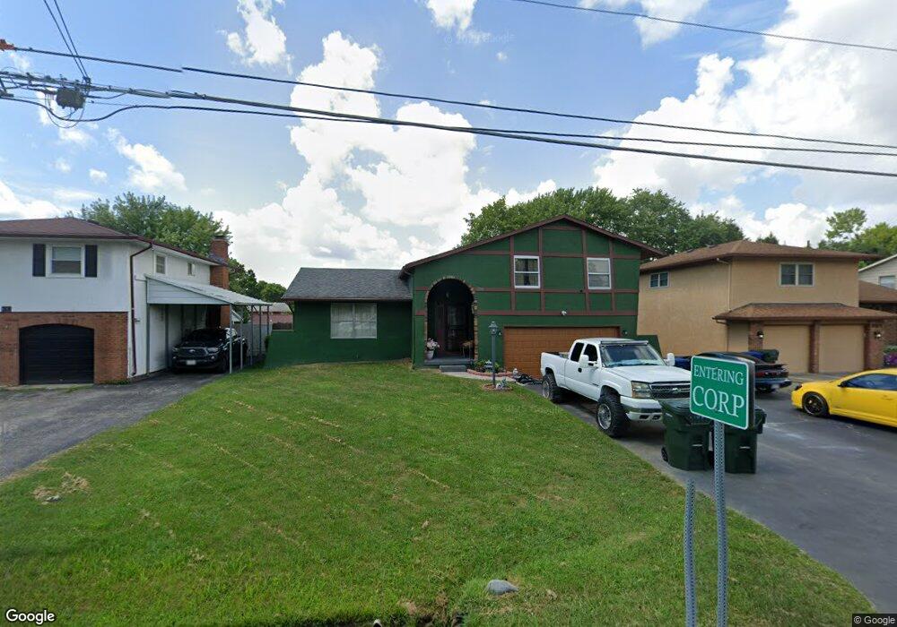
1709 Demorest Rd Columbus, OH 43228
Riverbend NeighborhoodEstimated Value: $236,000 - $295,000
3
Beds
3
Baths
1,754
Sq Ft
$150/Sq Ft
Est. Value
About This Home
This home is located at 1709 Demorest Rd, Columbus, OH 43228 and is currently estimated at $262,584, approximately $149 per square foot. 1709 Demorest Rd is a home located in Franklin County with nearby schools including West Franklin Elementary School, Franklin Woods Intermediate School, and Finland Middle School.
Ownership History
Date
Name
Owned For
Owner Type
Purchase Details
Closed on
Nov 21, 2000
Sold by
Thacker Charles E and Thacker Martha J
Bought by
Bare Sharon J
Current Estimated Value
Home Financials for this Owner
Home Financials are based on the most recent Mortgage that was taken out on this home.
Original Mortgage
$113,464
Outstanding Balance
$39,536
Interest Rate
7.86%
Mortgage Type
FHA
Estimated Equity
$223,048
Purchase Details
Closed on
Nov 21, 1995
Sold by
Sagstetter Sharon J
Bought by
Thacker Charles E and Thacker Martha J
Home Financials for this Owner
Home Financials are based on the most recent Mortgage that was taken out on this home.
Original Mortgage
$83,600
Interest Rate
7.65%
Mortgage Type
New Conventional
Purchase Details
Closed on
Aug 1, 1991
Create a Home Valuation Report for This Property
The Home Valuation Report is an in-depth analysis detailing your home's value as well as a comparison with similar homes in the area
Home Values in the Area
Average Home Value in this Area
Purchase History
| Date | Buyer | Sale Price | Title Company |
|---|---|---|---|
| Bare Sharon J | $114,400 | Titlequest Agency Inc | |
| Thacker Charles E | $88,000 | -- | |
| -- | $77,900 | -- |
Source: Public Records
Mortgage History
| Date | Status | Borrower | Loan Amount |
|---|---|---|---|
| Open | Bare Sharon J | $113,464 | |
| Previous Owner | Thacker Charles E | $83,600 |
Source: Public Records
Tax History
| Year | Tax Paid | Tax Assessment Tax Assessment Total Assessment is a certain percentage of the fair market value that is determined by local assessors to be the total taxable value of land and additions on the property. | Land | Improvement |
|---|---|---|---|---|
| 2025 | $2,929 | $80,330 | $25,240 | $55,090 |
| 2024 | $2,929 | $80,330 | $25,240 | $55,090 |
| 2023 | $2,877 | $80,325 | $25,235 | $55,090 |
| 2022 | $2,702 | $55,370 | $11,970 | $43,400 |
| 2021 | $2,757 | $55,370 | $11,970 | $43,400 |
| 2020 | $2,741 | $55,370 | $11,970 | $43,400 |
| 2019 | $2,494 | $44,460 | $9,980 | $34,480 |
| 2018 | $2,369 | $44,460 | $9,980 | $34,480 |
| 2017 | $2,471 | $44,460 | $9,980 | $34,480 |
| 2016 | $2,256 | $37,280 | $7,770 | $29,510 |
| 2015 | $2,256 | $37,280 | $7,770 | $29,510 |
| 2014 | $2,258 | $37,280 | $7,770 | $29,510 |
| 2013 | $1,245 | $41,440 | $8,645 | $32,795 |
Source: Public Records
Map
Nearby Homes
- 3836 Alkire Rd
- 1995 Jacinth Ct
- 1490 Demorest Rd
- 1936 Bay Port Dr
- 4655 Parkwick Dr
- 1830 Winding Hollow Dr
- 2147 Exemplar Ct
- 1842 Bashan Dr Unit 75F
- 3586 Alkire Rd
- 4289 Demorest Highlands Ln
- 4633 Parrau Dr Unit 70F
- 1722 Hollow Run Dr
- 4641 Athalia Dr Unit 18B
- 4531 White Leaf Way
- 4339 Seashell Ct
- 4426 Hickory Wood Dr
- 1175-1177 Mccarley Dr S
- 4644 Hobson Dr Unit 13D
- 4459 Amwood St
- 1800 Georgesville Square Dr
- 1717 Demorest Rd
- 1701 Demorest Rd
- 1725 Demorest Rd
- 1693 Demorest Rd
- 1702 Carrigallen Ln
- 1694 Carrigallen Ln
- 1690 Demorest Rd
- 1685 Demorest Rd
- 1731 Demorest Rd
- 1718 Carrigallen Ln
- 1674 Kildare Place
- 1698 Demorest Rd
- 1675 Kildare Place
- 1686 Carrigallen Ln
- 1730 Carrigallen Ln
- 1677 Demorest Rd
- 1737 Demorest Rd
- 1678 Carrigallen Ln
- 1669 Kildare Place
- 1666 Demorest Rd
Your Personal Tour Guide
Ask me questions while you tour the home.