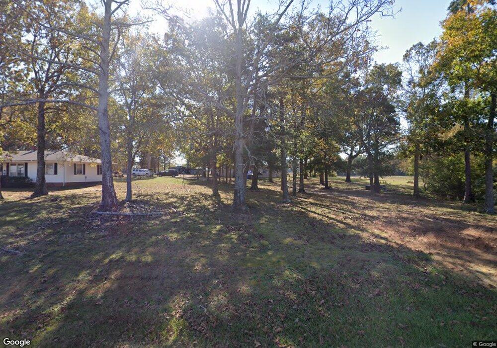
1709 Lathan Rd Monroe, NC 28112
Estimated Value: $267,000 - $396,608
3
Beds
1
Bath
1,176
Sq Ft
$283/Sq Ft
Est. Value
About This Home
This home is located at 1709 Lathan Rd, Monroe, NC 28112 and is currently estimated at $332,652, approximately $282 per square foot. 1709 Lathan Rd is a home located in Union County with nearby schools including Prospect Elementary School, Parkwood Middle School, and Parkwood High School.
Ownership History
Date
Name
Owned For
Owner Type
Purchase Details
Closed on
Aug 9, 2023
Sold by
Murphy Teresa Lathan and Murphy James
Bought by
Lively John Raymond and Lively Susan Leeann
Current Estimated Value
Home Financials for this Owner
Home Financials are based on the most recent Mortgage that was taken out on this home.
Original Mortgage
$200,000
Outstanding Balance
$195,131
Interest Rate
6.9%
Mortgage Type
Seller Take Back
Estimated Equity
$137,521
Purchase Details
Closed on
Sep 2, 2009
Sold by
Lathan Oren L
Bought by
Circle S Ranch Inc
Purchase Details
Closed on
Dec 21, 2000
Sold by
Nealey Jerry and Nealey Karen
Bought by
Nealey Jerry and Nealey Karen
Purchase Details
Closed on
May 17, 2000
Sold by
Lathan Oren L and Lathan Frances R
Bought by
Bach David P and Elwell Beverly A
Create a Home Valuation Report for This Property
The Home Valuation Report is an in-depth analysis detailing your home's value as well as a comparison with similar homes in the area
Purchase History
| Date | Buyer | Sale Price | Title Company |
|---|---|---|---|
| Lively John Raymond | $200,000 | None Listed On Document | |
| Lively John Raymond | $200,000 | None Listed On Document | |
| Circle S Ranch Inc | $113,500 | None Available | |
| Nealey Jerry | -- | -- | |
| Bach David P | $120,000 | -- |
Source: Public Records
Mortgage History
| Date | Status | Borrower | Loan Amount |
|---|---|---|---|
| Open | Lively John Raymond | $200,000 | |
| Closed | Lively John Raymond | $200,000 |
Source: Public Records
Tax History
| Year | Tax Paid | Tax Assessment Tax Assessment Total Assessment is a certain percentage of the fair market value that is determined by local assessors to be the total taxable value of land and additions on the property. | Land | Improvement |
|---|---|---|---|---|
| 2025 | $1,465 | $362,800 | $0 | $0 |
| 2024 | $1,143 | $182,900 | $64,700 | $118,200 |
| 2023 | $1,136 | $182,900 | $64,700 | $118,200 |
| 2022 | $1,136 | $182,900 | $64,700 | $118,200 |
| 2021 | $1,146 | $182,900 | $64,700 | $118,200 |
| 2020 | $1,047 | $132,680 | $55,780 | $76,900 |
| 2019 | $1,100 | $132,680 | $55,780 | $76,900 |
| 2018 | $1,100 | $132,680 | $55,780 | $76,900 |
| 2017 | $1,166 | $132,700 | $55,800 | $76,900 |
| 2016 | $1,147 | $132,680 | $55,780 | $76,900 |
| 2015 | $1,160 | $132,680 | $55,780 | $76,900 |
| 2014 | $1,070 | $144,910 | $70,120 | $74,790 |
Source: Public Records
Map
Nearby Homes
- 2521 Plyler Mill Rd
- 2517 Plyler Mill Rd
- 4517 Plyler Mill Rd
- 2005 Trey Ct
- 4120 Mcmanus Rd
- 4114 Mcmanus Rd Unit 1
- 1822 Irby Rd
- 2721 Tara Dr
- 920 Dewitt Helms Rd
- 5124 Pond Bluff Dr
- 2709 Hattie St Unit 486
- 2720 Yellow Bell Way
- 5200 Lancaster Hwy
- 4907 Delmar Griffin Rd
- 2605 Plyler Mill Rd
- 2601 Plyler Mill Rd
- 5916 Griffith Rd
- 5714 Tipton Rd
- 5624 Tipton Rd
- 5630 Tipton Rd
- 1620 Lathan Rd
- 1803 Lathan Rd
- 1608 Lathan Rd
- 4410 Mcmanus Rd
- 4510 Plyler Mill Rd
- 1817 Lathan Rd
- 4508 Plyler Mill Rd
- 1903 Lathan Rd
- 4430 Plyler Mill Rd
- 00 Clarksville Campground Rd
- 0000 Clarksville Campground Rd
- 4308 Mcmanus Rd
- 2118 Phala Ct
- 1911 Lathan Rd
- 2119 Phala Ct
- 4520 Plyler Mill Rd
- 4600 Ceria Dr
- 2112 Phala Ct
- 000 Bud Plyler Rd
- 4601 Ceria Dr
Your Personal Tour Guide
Ask me questions while you tour the home.