171-R Samoset Rd Eastham, MA 2642
Estimated Value: $526,812 - $576,000
2
Beds
1
Bath
672
Sq Ft
$818/Sq Ft
Est. Value
About This Home
This home is located at 171-R Samoset Rd, Eastham, MA 2642 and is currently estimated at $549,703, approximately $818 per square foot. 171-R Samoset Rd is a home located in Barnstable County with nearby schools including Eastham Elementary School, Nauset Regional Middle School, and Nauset Regional High School.
Ownership History
Date
Name
Owned For
Owner Type
Purchase Details
Closed on
Sep 18, 2003
Sold by
Emond Ft and Emond Donald E
Bought by
Brooke Craig A
Current Estimated Value
Home Financials for this Owner
Home Financials are based on the most recent Mortgage that was taken out on this home.
Original Mortgage
$75,200
Interest Rate
6.31%
Mortgage Type
Purchase Money Mortgage
Purchase Details
Closed on
Oct 6, 1998
Sold by
Huff Marion E
Bought by
Emond Donald E and Emond Harriet F
Create a Home Valuation Report for This Property
The Home Valuation Report is an in-depth analysis detailing your home's value as well as a comparison with similar homes in the area
Home Values in the Area
Average Home Value in this Area
Purchase History
| Date | Buyer | Sale Price | Title Company |
|---|---|---|---|
| Brooke Craig A | $94,000 | -- | |
| Emond Donald E | $97,000 | -- |
Source: Public Records
Mortgage History
| Date | Status | Borrower | Loan Amount |
|---|---|---|---|
| Open | Emond Donald E | $66,900 | |
| Closed | Emond Donald E | $75,200 |
Source: Public Records
Tax History Compared to Growth
Tax History
| Year | Tax Paid | Tax Assessment Tax Assessment Total Assessment is a certain percentage of the fair market value that is determined by local assessors to be the total taxable value of land and additions on the property. | Land | Improvement |
|---|---|---|---|---|
| 2025 | $3,258 | $422,600 | $252,100 | $170,500 |
| 2024 | $2,893 | $412,700 | $244,800 | $167,900 |
| 2023 | $2,506 | $346,200 | $204,000 | $142,200 |
| 2022 | $2,363 | $275,400 | $182,100 | $93,300 |
| 2021 | $2,298 | $250,300 | $165,500 | $84,800 |
| 2020 | $2,174 | $249,300 | $168,900 | $80,400 |
| 2019 | $1,997 | $242,100 | $164,000 | $78,100 |
| 2018 | $1,972 | $236,200 | $159,300 | $76,900 |
| 2017 | $1,829 | $231,500 | $156,100 | $75,400 |
| 2016 | $1,849 | $248,500 | $173,500 | $75,000 |
| 2015 | $1,725 | $243,000 | $170,100 | $72,900 |
Source: Public Records
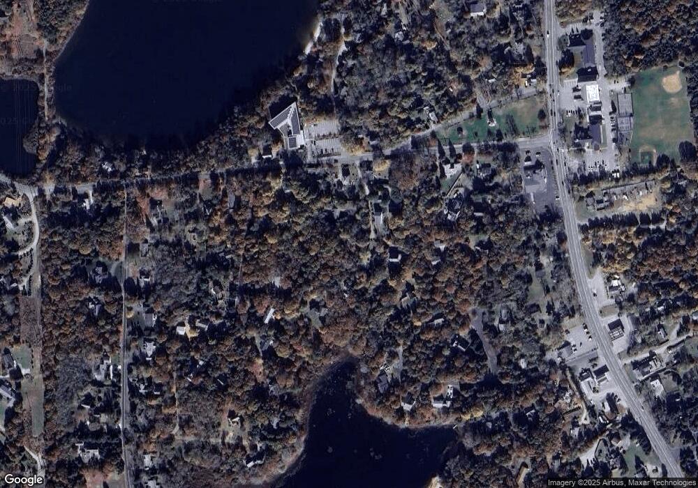
Map
Nearby Homes
- 1975 State Hwy Unit 3
- 1975 State Hwy Unit 5
- 645 Samoset Rd
- 4 Wood Duck Ln
- 1875 State Hwy
- 180 Country Ln
- 20 Redberry Ln
- 10 Surrey Dr
- 10 Alston Ct
- 45 Starlight Ln
- 70 Deerfield Ln
- 330 Hay Rd
- 65 Cestaro Way
- 1295 Herring Brook Rd
- 60 Smith Heights Way
- 10 Kellies Path
- 1061 State Hwy Unit 4
- 30 Cove Rd
- 993 Intonti Way
- 995 Intonti Way
- 171R Samoset Rd
- 173R Samoset Rd
- 173-R Samoset Rd
- 167R Samoset Rd
- 167-R Samoset Rd
- 171 Off Samoset Rd
- 163 Samoset Rd
- 163R Samoset Rd
- 163 Samoset Rear Rd
- 163 Samoset Rear Rd
- 163-R Samoset Rd
- 164 Samoset Rd
- 164 Samoset Rd Unit B
- 161-R Samoset Rd
- 165R Samoset Rd
- 165 Samoset Rd Unit R
- 165 Samoset Rd
- 161R Samoset Rd
- 175 Samoset Rd
- 161 Samoset Rd