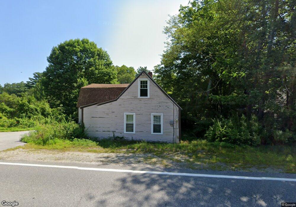
171 Silver Lake Rd Hollis, NH 03049
Hollis NeighborhoodEstimated Value: $414,795 - $537,000
2
Beds
1
Bath
1,486
Sq Ft
$335/Sq Ft
Est. Value
About This Home
This home is located at 171 Silver Lake Rd, Hollis, NH 03049 and is currently estimated at $497,199, approximately $334 per square foot. 171 Silver Lake Rd is a home with nearby schools including Hollis Primary School, Hollis Upper Elementary School, and Hollis-Brookline Middle School.
Ownership History
Date
Name
Owned For
Owner Type
Purchase Details
Closed on
Mar 11, 2025
Sold by
Hamanne Leo G and Hamanne Brenda M
Bought by
Hamanne Ft and Hamanne
Current Estimated Value
Purchase Details
Closed on
May 2, 1984
Bought by
Hamanne Leo G and Hamanne Brenda M
Create a Home Valuation Report for This Property
The Home Valuation Report is an in-depth analysis detailing your home's value as well as a comparison with similar homes in the area
Home Values in the Area
Average Home Value in this Area
Purchase History
| Date | Buyer | Sale Price | Title Company |
|---|---|---|---|
| Hamanne Ft | -- | None Available | |
| Hamanne Ft | -- | None Available | |
| Hamanne Leo G | -- | -- |
Source: Public Records
Mortgage History
| Date | Status | Borrower | Loan Amount |
|---|---|---|---|
| Previous Owner | Hamanne Leo G | $143,381 | |
| Previous Owner | Hamanne Leo G | $164,000 |
Source: Public Records
Tax History Compared to Growth
Tax History
| Year | Tax Paid | Tax Assessment Tax Assessment Total Assessment is a certain percentage of the fair market value that is determined by local assessors to be the total taxable value of land and additions on the property. | Land | Improvement |
|---|---|---|---|---|
| 2024 | $5,578 | $314,600 | $177,300 | $137,300 |
| 2023 | $5,241 | $314,600 | $177,300 | $137,300 |
| 2022 | $7,101 | $314,600 | $177,300 | $137,300 |
| 2021 | $4,436 | $195,400 | $113,800 | $81,600 |
| 2020 | $6,459 | $195,400 | $113,800 | $81,600 |
| 2019 | $4,514 | $195,400 | $113,800 | $81,600 |
| 2018 | $3,898 | $195,400 | $113,800 | $81,600 |
| 2017 | $3,922 | $169,400 | $99,300 | $70,100 |
| 2016 | $3,969 | $169,400 | $99,300 | $70,100 |
| 2015 | $3,900 | $169,400 | $99,300 | $70,100 |
| 2014 | $3,918 | $169,400 | $99,300 | $70,100 |
| 2013 | $3,866 | $169,400 | $99,300 | $70,100 |
Source: Public Records
Map
Nearby Homes
- 4-13 Woodmont Dr
- 102 Silver Lake Rd
- 3 Wood Ln
- 40-40A Pine Hill Rd
- 172 Hayden Rd
- 77 Mooar Hill Rd
- 77 Broad St
- 118 Broad St
- 199 Pine Hill Rd
- 22 Austin Ln
- 28A Rocky Pond Rd
- 5 Carons Way
- 93 Old Milford Rd
- 11 Rideout Rd
- 22 Hobart Hill Rd
- 16 Captain Danforth Ln
- 36 Hampton Dr
- 8 Colburn Rd
- 6 Veterans Rd Unit 15
- 4-58 Dow Rd
- 169 Silver Lake Rd
- 163 Silver Lake Rd
- 170 Silver Lake Rd
- 123-A Silver Lake Rd
- 123-B Silver Lake Rd
- 177 Silver Lake Rd
- 183 Silver Lake Rd
- 136 Silver Lake Rd
- 00 S Merrimack Rd
- 3 S Merrimack Rd
- 3 S Merrimack Rd Unit 47-44-3
- 201 Silver Lake Rd Unit 2
- 201 Silver Lake Rd
- 11 S Merrimack Rd
- 4 Wheat Ln
- 208 Silver Lake Rd
- 130 Silver Lake Rd
- 16 S Merrimack Rd
- 213 Silver Lake Rd
- 21 S Merrimack Rd