171 Snowood Dr Thornton, NH 03285
Estimated Value: $551,000 - $648,000
3
Beds
3
Baths
2,284
Sq Ft
$269/Sq Ft
Est. Value
About This Home
This home is located at 171 Snowood Dr, Thornton, NH 03285 and is currently estimated at $613,680, approximately $268 per square foot. 171 Snowood Dr is a home with nearby schools including Thornton Central School and Plymouth Regional High School.
Ownership History
Date
Name
Owned For
Owner Type
Purchase Details
Closed on
Apr 27, 2021
Sold by
Sanborn David W
Bought by
Rossi Joseph R and Rossi Dore
Current Estimated Value
Home Financials for this Owner
Home Financials are based on the most recent Mortgage that was taken out on this home.
Original Mortgage
$280,000
Outstanding Balance
$250,604
Interest Rate
3%
Mortgage Type
Purchase Money Mortgage
Estimated Equity
$363,076
Purchase Details
Closed on
Dec 14, 2000
Sold by
Petrocelli Todd R and Petrocelli Harriet L
Bought by
Fritz Fam Nominee Rlty
Purchase Details
Closed on
Jun 23, 2000
Sold by
Fox John P and Fox Helen R
Bought by
Joaquin John T and Joaquin Bridget B
Home Financials for this Owner
Home Financials are based on the most recent Mortgage that was taken out on this home.
Original Mortgage
$52,650
Interest Rate
8.48%
Mortgage Type
Purchase Money Mortgage
Create a Home Valuation Report for This Property
The Home Valuation Report is an in-depth analysis detailing your home's value as well as a comparison with similar homes in the area
Home Values in the Area
Average Home Value in this Area
Purchase History
| Date | Buyer | Sale Price | Title Company |
|---|---|---|---|
| Rossi Joseph R | $380,000 | None Available | |
| Fritz Fam Nominee Rlty | $114,000 | -- | |
| Joaquin John T | $58,500 | -- |
Source: Public Records
Mortgage History
| Date | Status | Borrower | Loan Amount |
|---|---|---|---|
| Open | Rossi Joseph R | $280,000 | |
| Previous Owner | Joaquin John T | $52,650 |
Source: Public Records
Tax History
| Year | Tax Paid | Tax Assessment Tax Assessment Total Assessment is a certain percentage of the fair market value that is determined by local assessors to be the total taxable value of land and additions on the property. | Land | Improvement |
|---|---|---|---|---|
| 2025 | $7,449 | $634,500 | $106,900 | $527,600 |
| 2024 | $6,986 | $614,400 | $106,900 | $507,500 |
| 2023 | $5,794 | $279,100 | $63,300 | $215,800 |
| 2022 | $5,585 | $279,100 | $63,300 | $215,800 |
| 2021 | $3,994 | $192,300 | $60,100 | $132,200 |
| 2020 | $543 | $27,000 | $27,000 | $0 |
| 2019 | $504 | $27,000 | $27,000 | $0 |
| 2018 | $181 | $9,200 | $9,200 | $0 |
| 2017 | $179 | $9,200 | $9,200 | $0 |
| 2016 | $178 | $9,200 | $9,200 | $0 |
| 2015 | $176 | $9,200 | $9,200 | $0 |
| 2014 | $173 | $9,200 | $9,200 | $0 |
| 2013 | $392 | $21,400 | $21,400 | $0 |
Source: Public Records
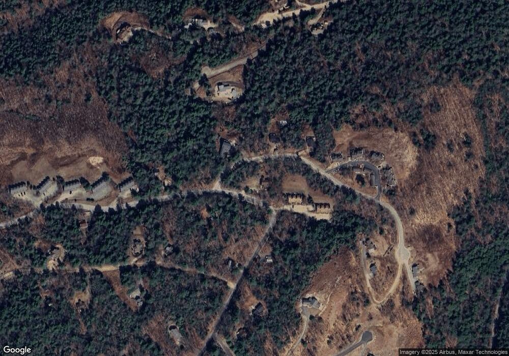
Map
Nearby Homes
- 13 Laurel Cir Unit 8
- Lot 1 Welch View Dr
- 1 Condo Rd Unit 1
- 911 New Hampshire 49
- 18 Condo Rd Unit 1
- 0 Hodgeman Hill Rd Unit 5072782
- 34 Marden Dr
- 10 Marden Dr
- 14 Parker Rd Unit C-2
- 0 Checkerberry Ridge Rd Unit 142
- 88 Donovan Farm Rd
- 000 Upper Mad River Rd Unit 7
- 612 Upper Mad River Rd Unit B
- 612 Upper Mad River Rd Unit A
- 612 Upper Mad River Rd Unit C
- 0 Morrill Cir Unit 16
- 1072 New Hampshire 49
- 5-16-19 Boulder Ct
- 110 Tamarack Rd
- 10 Issax Fox Rd
- 170 Snowood Dr
- 7 Laurel Cir Unit 4
- 7 Laurel Cir Unit 3
- 7 Laurel Cir Unit 2
- 7 Laurel Cir Unit 1
- 7 Laurel Cir Unit 3
- 3 Laurel Cir Unit 3
- 7 (#4) Laurel Cir Unit 4
- 13 Laurel Cir Unit 10
- 13 Laurel Cir Unit 9
- 13 Laurel Cir Unit 7
- 13 Laurel Cir Unit 6
- 15 Weeping Birches Ln
- 45 Weeping Birches Ln
- 11 Weeping Birches Ln
- 11 Weeping Birches Ln
- 47 Weeping Birches Ln
- 4-B Laurel Cir Unit B4
- 4 Laurel Cir Unit 4
- Unit #2 Laurel Cir Unit 2
Your Personal Tour Guide
Ask me questions while you tour the home.