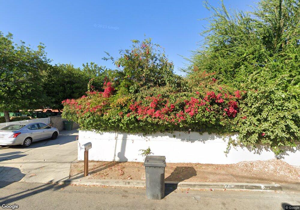
1711 Duncan St Simi Valley, CA 93065
West Simi Valley NeighborhoodEstimated Value: $709,618 - $790,000
3
Beds
2
Baths
1,459
Sq Ft
$513/Sq Ft
Est. Value
About This Home
This home is located at 1711 Duncan St, Simi Valley, CA 93065 and is currently estimated at $747,905, approximately $512 per square foot. 1711 Duncan St is a home located in Ventura County with nearby schools including Berylwood Elementary School, Sinaloa Middle School, and Royal High School.
Ownership History
Date
Name
Owned For
Owner Type
Purchase Details
Closed on
Apr 28, 2016
Sold by
Tang Jackie Ng
Bought by
Jackie Tang Revocable Trust
Current Estimated Value
Purchase Details
Closed on
Apr 22, 2015
Sold by
Tang Jackson C and Tang Jackie Ng
Bought by
Tang Jackie Ng
Create a Home Valuation Report for This Property
The Home Valuation Report is an in-depth analysis detailing your home's value as well as a comparison with similar homes in the area
Home Values in the Area
Average Home Value in this Area
Purchase History
| Date | Buyer | Sale Price | Title Company |
|---|---|---|---|
| Jackie Tang Revocable Trust | -- | None Available | |
| Tang Jackie Ng | -- | None Available |
Source: Public Records
Tax History
| Year | Tax Paid | Tax Assessment Tax Assessment Total Assessment is a certain percentage of the fair market value that is determined by local assessors to be the total taxable value of land and additions on the property. | Land | Improvement |
|---|---|---|---|---|
| 2025 | $4,142 | $311,186 | $141,445 | $169,741 |
| 2024 | $4,142 | $305,085 | $138,672 | $166,413 |
| 2023 | $3,894 | $299,103 | $135,953 | $163,150 |
| 2022 | $3,862 | $293,239 | $133,288 | $159,951 |
| 2021 | $3,820 | $287,490 | $130,675 | $156,815 |
| 2020 | $3,731 | $284,544 | $129,336 | $155,208 |
| 2019 | $3,560 | $278,965 | $126,800 | $152,165 |
| 2018 | $3,521 | $273,496 | $124,314 | $149,182 |
| 2017 | $3,436 | $268,134 | $121,877 | $146,257 |
| 2016 | $3,280 | $262,878 | $119,488 | $143,390 |
| 2015 | $3,203 | $258,932 | $117,695 | $141,237 |
| 2014 | -- | $253,862 | $115,391 | $138,471 |
Source: Public Records
Map
Nearby Homes
- 1755 Heywood St Unit 201
- 1448 Patricia Ave Unit 203
- 1608 Alviso St
- 1752 Heywood St Unit A
- 1616 Royal Ave
- 1932 Heywood St Unit B
- 1904 Heywood St Unit L
- 1853 Hillary Ct
- 1763 Kearney Ave
- 1246 Patricia Ave Unit 28
- 2311 Marvel Ave
- 1267 Sutter Ave
- 1459 Willowbrook Ln
- 2075 Sherman St
- 2025 Royal Ave
- 1240 Graham St
- 2239 McDonald St
- 1271 Alexander St
- 1534 Wallace St
- 938 Ventura Ave
- 1590 Patricia Ave
- 1746 Duncan St
- 1623 Heywood St
- 1624 Patricia Ave
- 0 Heywood St
- 0 Heywood St Unit F11110291
- 1678 Heywood St Unit D
- 1678 Heywood St Unit C
- 1678 Heywood St Unit F
- 1678 Heywood St Unit B
- 1678 Heywood St Unit A
- 1644 Patricia Ave
- 1654 Heywood St Unit F
- 1654 Heywood St Unit A
- 1654 Heywood St Unit B
- 1654 Heywood St
- 1654 Heywood St Unit C
- 1654 Heywood St Unit E
- 1654 Heywood St Unit D
- 1654 Heywood St
Your Personal Tour Guide
Ask me questions while you tour the home.