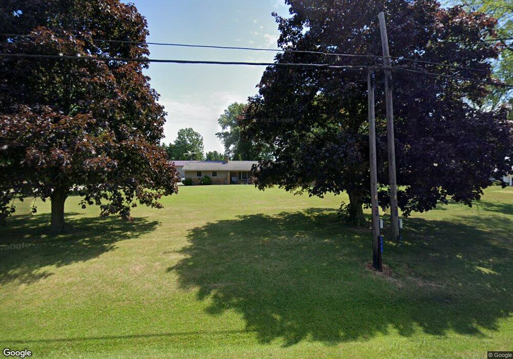
1711 State Route 60 Ashland, OH 44805
Estimated Value: $354,000 - $519,000
3
Beds
3
Baths
1,598
Sq Ft
$252/Sq Ft
Est. Value
About This Home
This home is located at 1711 State Route 60, Ashland, OH 44805 and is currently estimated at $402,528, approximately $251 per square foot. 1711 State Route 60 is a home located in Ashland County with nearby schools including Hillsdale Elementary School, Hillsdale Middle School, and Hillsdale High School.
Ownership History
Date
Name
Owned For
Owner Type
Purchase Details
Closed on
Jul 8, 2019
Sold by
Stover Bryan P
Bought by
Martin Brian and Martin Stephanie
Current Estimated Value
Home Financials for this Owner
Home Financials are based on the most recent Mortgage that was taken out on this home.
Original Mortgage
$206,465
Outstanding Balance
$181,546
Interest Rate
4%
Mortgage Type
Construction
Estimated Equity
$220,982
Purchase Details
Closed on
Apr 27, 2009
Sold by
Farmer Patricia J
Bought by
Stover Bryan P
Purchase Details
Closed on
Oct 4, 2007
Bought by
Farmer Patricia J
Purchase Details
Closed on
Aug 6, 2007
Sold by
Dalton Arthur E
Purchase Details
Closed on
Jan 1, 1990
Bought by
Dalton Arthur E
Create a Home Valuation Report for This Property
The Home Valuation Report is an in-depth analysis detailing your home's value as well as a comparison with similar homes in the area
Home Values in the Area
Average Home Value in this Area
Purchase History
| Date | Buyer | Sale Price | Title Company |
|---|---|---|---|
| Martin Brian | $242,900 | Attorney Only | |
| Stover Bryan P | -- | -- | |
| Farmer Patricia J | $68,500 | -- | |
| -- | $65,300 | -- | |
| Dalton Arthur E | -- | -- |
Source: Public Records
Mortgage History
| Date | Status | Borrower | Loan Amount |
|---|---|---|---|
| Open | Martin Brian | $206,465 |
Source: Public Records
Tax History Compared to Growth
Tax History
| Year | Tax Paid | Tax Assessment Tax Assessment Total Assessment is a certain percentage of the fair market value that is determined by local assessors to be the total taxable value of land and additions on the property. | Land | Improvement |
|---|---|---|---|---|
| 2024 | $3,547 | $108,940 | $13,600 | $95,340 |
| 2023 | $3,547 | $108,940 | $13,600 | $95,340 |
| 2022 | $3,091 | $75,320 | $9,710 | $65,610 |
| 2021 | $3,249 | $79,060 | $9,710 | $69,350 |
| 2020 | $3,041 | $79,060 | $9,710 | $69,350 |
| 2019 | $1,851 | $55,790 | $10,270 | $45,520 |
| 2018 | $1,840 | $55,790 | $10,270 | $45,520 |
| 2017 | $1,946 | $55,790 | $10,270 | $45,520 |
| 2016 | $1,946 | $48,510 | $8,930 | $39,580 |
| 2015 | $1,602 | $40,390 | $8,930 | $31,460 |
| 2013 | $1,592 | $39,260 | $8,930 | $30,330 |
Source: Public Records
Map
Nearby Homes
- 1653 Ohio 60
- 1653 State Route 60
- 0 Twp Rd 1806 Unit 11591470
- 1845 County Road 655
- 1690 County Road 995
- 1015 Township Road 1696
- 1581 County Road 995
- 1457 Township Road 853
- 1446 Township Road 805
- 1435 Township Road 853
- 977 Township Road 1514 Unit C
- 820 County Road 30a
- 150 E Main St
- 0 Eagle Way
- 1331 Eastern Ave
- 453 Hillcrest Dr
- 1109 Eastern Ave
- 1011 Eastern Ave
- 31 Morgan Ave
- 1706 Kingwood Ct
- 1711 Ohio 60
- 1711 Sr 60
- 1713 State Route 60
- 3 Township 1461 Rd
- 79 T R 1714
- 67 T R 1714
- 1711 Township Road 1714
- 1711 Township Road 1714
- 1715 Township Road 1714
- 1720 1714
- 1720 T R 1714
- 1720 Township Road 1714
- 1711 T R 1714
- 1711 1714
- 1717 State Route 60
- 1715 T R 1714
- 1717 T R 1714
- 1717 Township Road 1714
- 1719 Township Road 1714
- 1705 State Route 60