17117 228th St Bloomfield, IA 52537
Estimated Value: $184,552 - $294,000
--
Bed
1
Bath
1,600
Sq Ft
$143/Sq Ft
Est. Value
About This Home
This home is located at 17117 228th St, Bloomfield, IA 52537 and is currently estimated at $229,517, approximately $143 per square foot. 17117 228th St is a home located in Davis County with nearby schools including Davis County Elementary School, Davis County Middle School, and Davis County Community High School.
Ownership History
Date
Name
Owned For
Owner Type
Purchase Details
Closed on
Apr 28, 2021
Sold by
Earl Miller Samuel and Earl Mary A
Bought by
Mary A Miller Revocable Trust
Current Estimated Value
Purchase Details
Closed on
Jan 11, 2008
Sold by
Miller Samuel E and Miller Mary A
Bought by
Miller Richard R and Miller Rosemary
Create a Home Valuation Report for This Property
The Home Valuation Report is an in-depth analysis detailing your home's value as well as a comparison with similar homes in the area
Home Values in the Area
Average Home Value in this Area
Purchase History
| Date | Buyer | Sale Price | Title Company |
|---|---|---|---|
| Mary A Miller Revocable Trust | -- | None Listed On Document | |
| Samuel Earl Miller Revocable Trust | -- | None Available | |
| Miller Richard R | $3,000 | None Available |
Source: Public Records
Tax History Compared to Growth
Tax History
| Year | Tax Paid | Tax Assessment Tax Assessment Total Assessment is a certain percentage of the fair market value that is determined by local assessors to be the total taxable value of land and additions on the property. | Land | Improvement |
|---|---|---|---|---|
| 2025 | $1,542 | $107,840 | $1,320 | $106,520 |
| 2024 | $1,542 | $94,710 | $900 | $93,810 |
| 2023 | $1,882 | $94,710 | $900 | $93,810 |
| 2022 | $1,588 | $100,600 | $910 | $99,690 |
| 2021 | $1,588 | $84,280 | $910 | $83,370 |
| 2020 | $1,430 | $77,180 | $970 | $76,210 |
| 2019 | $1,352 | $73,670 | $0 | $0 |
| 2018 | $1,322 | $75,260 | $1,180 | $74,080 |
| 2017 | $1,322 | $73,670 | $1,180 | $72,490 |
| 2016 | $1,278 | $71,350 | $0 | $0 |
| 2015 | $1,278 | $74,050 | $0 | $0 |
| 2014 | $1,230 | $74,050 | $0 | $0 |
Source: Public Records
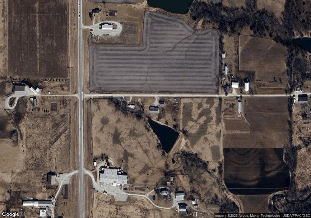
Map
Nearby Homes
- 152 Acres Hwy 63
- 19743 212th St
- 14042 232nd St
- TBD Harvest Ave
- Tbd Harvest Ave
- 293rd Street
- 906 W Chestnut St
- TBD Driftwood Blvd
- 601 W Chestnut St
- 603 W Walnut St
- 152 A Iowa 2
- 608 W Franklin St
- 502 S West St
- 408 W Chestnut St
- 293rd Street
- 404 Elm St
- 12392 Iowa 2
- 402 Goode St
- 702 S Washington St
- 0000 Highway 63
- 21882 Highway 63
- 21622 Highway 63
- 21622 Highway 63
- 17262 228th St
- 16946 230th St
- 17355 228th St
- 22172 Highway 63
- 16604 230th St
- 22421 Highway 63
- 17307 Highway 2
- 17079 Highway 2
- 17189 Highway 2
- 29782 Highway 63
- 21444 Ice Ave
- 21429 Ice Ave
- 21399 Ice Ave
- 17509 Highway 2
- 17619 Highway 2
- 22223 Ice Ave
- 17416 Highway 2