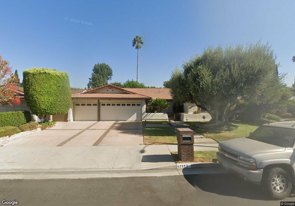
17117 Dearborn St Northridge, CA 91325
Estimated Value: $1,278,679 - $1,544,000
4
Beds
3
Baths
2,603
Sq Ft
$545/Sq Ft
Est. Value
About This Home
This home is located at 17117 Dearborn St, Northridge, CA 91325 and is currently estimated at $1,418,670, approximately $545 per square foot. 17117 Dearborn St is a home located in Los Angeles County with nearby schools including Oliver Wendell Holmes Middle School, Northridge Academy High, and James Monroe High School.
Ownership History
Date
Name
Owned For
Owner Type
Purchase Details
Closed on
Jul 18, 2005
Sold by
Parsons Lindsley
Bought by
Parsons Lindsley and Parsons Debra Jean
Current Estimated Value
Purchase Details
Closed on
Jun 10, 1997
Sold by
Parsons Lindsley
Bought by
Parsons Lindsley and Parsons Debra Jean
Home Financials for this Owner
Home Financials are based on the most recent Mortgage that was taken out on this home.
Original Mortgage
$180,000
Interest Rate
7.93%
Create a Home Valuation Report for This Property
The Home Valuation Report is an in-depth analysis detailing your home's value as well as a comparison with similar homes in the area
Home Values in the Area
Average Home Value in this Area
Purchase History
| Date | Buyer | Sale Price | Title Company |
|---|---|---|---|
| Parsons Lindsley | -- | -- | |
| Parsons Lindsley | $300,000 | -- |
Source: Public Records
Mortgage History
| Date | Status | Borrower | Loan Amount |
|---|---|---|---|
| Closed | Parsons Lindsley | $180,000 |
Source: Public Records
Tax History Compared to Growth
Tax History
| Year | Tax Paid | Tax Assessment Tax Assessment Total Assessment is a certain percentage of the fair market value that is determined by local assessors to be the total taxable value of land and additions on the property. | Land | Improvement |
|---|---|---|---|---|
| 2025 | $6,430 | $507,776 | $243,727 | $264,049 |
| 2024 | $6,430 | $497,821 | $238,949 | $258,872 |
| 2023 | $6,312 | $488,061 | $234,264 | $253,797 |
| 2022 | $6,030 | $478,492 | $229,671 | $248,821 |
| 2021 | $5,946 | $469,111 | $225,168 | $243,943 |
| 2019 | $5,774 | $455,199 | $218,491 | $236,708 |
| 2018 | $5,604 | $446,274 | $214,207 | $232,067 |
| 2016 | $5,336 | $428,946 | $205,890 | $223,056 |
| 2015 | $5,260 | $422,504 | $202,798 | $219,706 |
| 2014 | $5,283 | $414,229 | $198,826 | $215,403 |
Source: Public Records
Map
Nearby Homes
- 17101 Dearborn St
- 17063 Knapp St
- 8944 Amestoy Ave
- 17149 Gledhill St
- 17153 Rayen St
- 16842 Liggett St
- 9434 Mclennan Ave
- 9446 Mclennan Ave
- 9511 Mclennan Ave
- 9218 Encino Ave
- 17350 Osborne St
- 17158 Citronia St
- 16805 Rayen St
- 17190 Gresham St
- 17162 Superior St
- 9021 Rubio Ave
- 17441 Rayen St
- 16632 Nordhoff St
- 17177 Superior St
- 9253 Hayvenhurst Ave
- 17111 Dearborn St
- 17125 Dearborn St
- 17116 Knapp St
- 17124 Knapp St
- 17110 Knapp St
- 17116 Dearborn St
- 17100 Knapp St
- 17083 Dearborn St
- 17110 Dearborn St
- 17124 Dearborn St
- 17100 Dearborn St
- 17082 Knapp St
- 17075 Dearborn St
- 17082 Dearborn St
- 17074 Knapp St
- 17074 Dearborn St
- 17069 Dearborn St
- 17117 Knapp St
- 17117 Calahan St
- 17125 Calahan St