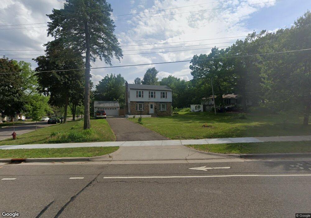
1712 Upper Afton Rd Saint Paul, MN 55106
Battle Creek NeighborhoodEstimated Value: $354,000 - $368,000
3
Beds
2
Baths
1,466
Sq Ft
$246/Sq Ft
Est. Value
About This Home
This home is located at 1712 Upper Afton Rd, Saint Paul, MN 55106 and is currently estimated at $360,123, approximately $245 per square foot. 1712 Upper Afton Rd is a home located in Ramsey County with nearby schools including Highwood Hills Elementary School, Battle Creek Middle School, and Harding Senior High School.
Ownership History
Date
Name
Owned For
Owner Type
Purchase Details
Closed on
Apr 26, 2021
Sold by
Keo Sowath and Cheng Channy
Bought by
Keo Sowath and Cheng Channy
Current Estimated Value
Home Financials for this Owner
Home Financials are based on the most recent Mortgage that was taken out on this home.
Original Mortgage
$111,000
Outstanding Balance
$92,413
Interest Rate
3.1%
Mortgage Type
New Conventional
Estimated Equity
$267,710
Purchase Details
Closed on
Sep 17, 2018
Sold by
Keo Sowath
Bought by
Keo Sowath and Cheng Channy
Purchase Details
Closed on
Nov 20, 2014
Sold by
Lun Leakhna
Bought by
Keo Sowath
Purchase Details
Closed on
Oct 14, 2011
Sold by
Deutsche Bank National Trust Co
Bought by
Lun Leakhna
Create a Home Valuation Report for This Property
The Home Valuation Report is an in-depth analysis detailing your home's value as well as a comparison with similar homes in the area
Home Values in the Area
Average Home Value in this Area
Purchase History
| Date | Buyer | Sale Price | Title Company |
|---|---|---|---|
| Keo Sowath | -- | Servion Title | |
| Keo Sowath | -- | None Available | |
| Keo Sowath | -- | None Available | |
| Lun Leakhna | $114,000 | -- |
Source: Public Records
Mortgage History
| Date | Status | Borrower | Loan Amount |
|---|---|---|---|
| Open | Keo Sowath | $111,000 |
Source: Public Records
Tax History Compared to Growth
Tax History
| Year | Tax Paid | Tax Assessment Tax Assessment Total Assessment is a certain percentage of the fair market value that is determined by local assessors to be the total taxable value of land and additions on the property. | Land | Improvement |
|---|---|---|---|---|
| 2025 | $5,420 | $343,200 | $46,900 | $296,300 |
| 2023 | $5,420 | $317,700 | $46,900 | $270,800 |
| 2022 | $4,372 | $294,000 | $46,900 | $247,100 |
| 2021 | $4,312 | $249,600 | $46,900 | $202,700 |
| 2020 | $4,028 | $253,000 | $46,900 | $206,100 |
| 2019 | $4,314 | $220,500 | $46,900 | $173,600 |
| 2018 | $3,840 | $232,100 | $46,900 | $185,200 |
| 2017 | $3,684 | $210,700 | $41,300 | $169,400 |
| 2016 | $3,342 | $0 | $0 | $0 |
| 2015 | $3,988 | $175,300 | $41,300 | $134,000 |
| 2014 | $3,388 | $0 | $0 | $0 |
Source: Public Records
Map
Nearby Homes
- 136 White Bear Ave N
- 125 Battle Creek Place
- 49 Battle Creek Place
- 1747 Louise Ave
- 237 Sigurd St
- 1935 Warbler Ln
- 267 Hazelwood St
- 1989 N Park Dr
- 201 Dora Ct W
- 138 Ruth St N Unit 9
- 2059 Parkside Dr Unit 29
- 2063 N Park Dr Unit 6
- 1600 Old Hudson Rd
- 1821 Wilson Ave
- 1443 Pacific St
- 1538 Wilson Ave
- 244 Point Douglas Rd N
- 465 Ruth St N
- 1685 Fremont Ave
- 1333 Pacific St
- 1712 1712 Upper Afton Rd
- 1700 Upper Afton Rd
- 65 Flandrau Place
- 65 65 Flandrau-Place-
- 65 65 Flandrau Place
- 1738 Upper Afton Rd
- 1694 Upper Afton Rd
- 55 Flandrau Place
- 66 Flandrau Place
- 1727 1727 Upper Afton-Road-
- 1727 1727 Upper Afton Rd
- 1727 Upper Afton Rd
- 1733 Upper Afton Rd
- 1721 Upper Afton Rd
- 1721 1721 Upper Afton-Road-
- 62 Flandrau Place
- 49 Flandrau Place
- 1739 Upper Afton Rd
- 1715 Upper Afton Rd
- 1684 Upper Afton Rd