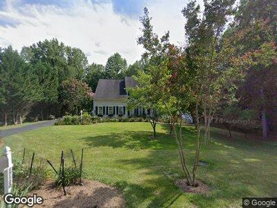
17120 Bournbrook Ln Jeffersonton, VA 22724
Estimated Value: $677,032 - $780,000
4
Beds
4
Baths
3,158
Sq Ft
$233/Sq Ft
Est. Value
About This Home
This home is located at 17120 Bournbrook Ln, Jeffersonton, VA 22724 and is currently estimated at $735,008, approximately $232 per square foot. 17120 Bournbrook Ln is a home located in Culpeper County with nearby schools including Emerald Hill Elementary School, Culpeper Middle School, and Culpeper County High School.
Ownership History
Date
Name
Owned For
Owner Type
Purchase Details
Closed on
Jun 28, 2002
Sold by
N V R Inc
Bought by
Fling Michael P
Current Estimated Value
Home Financials for this Owner
Home Financials are based on the most recent Mortgage that was taken out on this home.
Original Mortgage
$148,950
Interest Rate
6.82%
Create a Home Valuation Report for This Property
The Home Valuation Report is an in-depth analysis detailing your home's value as well as a comparison with similar homes in the area
Home Values in the Area
Average Home Value in this Area
Purchase History
| Date | Buyer | Sale Price | Title Company |
|---|---|---|---|
| Fling Michael P | $366,975 | -- |
Source: Public Records
Mortgage History
| Date | Status | Borrower | Loan Amount |
|---|---|---|---|
| Open | Fling Michael P | $45,000 | |
| Open | Fling Michael P | $280,000 | |
| Closed | Fling Michael P | $303,000 | |
| Closed | Fling Michael P | $30,000 | |
| Closed | Fling Michael P | $148,950 |
Source: Public Records
Tax History Compared to Growth
Tax History
| Year | Tax Paid | Tax Assessment Tax Assessment Total Assessment is a certain percentage of the fair market value that is determined by local assessors to be the total taxable value of land and additions on the property. | Land | Improvement |
|---|---|---|---|---|
| 2024 | -- | $629,300 | $141,400 | $487,900 |
| 2023 | $0 | $629,300 | $141,400 | $487,900 |
| 2022 | $2,719 | $494,400 | $111,400 | $383,000 |
| 2021 | $2,947 | $494,400 | $111,400 | $383,000 |
| 2020 | $2,667 | $430,100 | $98,900 | $331,200 |
| 2019 | $2,667 | $430,100 | $98,900 | $331,200 |
| 2018 | $2,720 | $406,000 | $91,700 | $314,300 |
| 2017 | $2,720 | $406,000 | $91,700 | $314,300 |
| 2016 | $2,947 | $405,500 | $91,200 | $314,300 |
| 2015 | -- | $403,700 | $91,200 | $312,500 |
Source: Public Records
Map
Nearby Homes
- LOT 2 Fletcher Ln
- 2219 Brown Ln
- LOT 4 Brown
- 4162 Pinewood Ln
- LOT C Peaceful Place
- 1468 Parker Place
- 2380 Edward King Ln
- 17453 Lee Hwy
- 2093 Whithorn Hill
- 2112 Berwick Dr
- 18150 Telford Dr
- 2449 Newton Dr
- 18142 Telford Dr
- 4127 N Hen Bird Ct
- 2526 Northumberland Dr Unit AZALEA LOT 2287
- 2518 Northumberland Dr Unit MACARTHUR LOT 2285
- 18446 Gleneagle Dr Unit MACARTHUR LOT 2320
- 18438 Gleneagle Dr Unit MACARTHUR LOT 2318
- 18411 Gleneagle Dr Unit HARLOW II LOT 2323
- Lot 2325 Gleneagle Dr Unit HARLOW II
- 17120 Bournbrook Ln
- 17138 Bournbrook Ln
- 17137 Bournbrook Ln
- 17149 Bournbrook Ln
- 3164 Somerset Dr
- 17165 Paddington Ct
- 17152 Bournbrook Ln
- 3113 Somerset Dr
- 3142 Somerset Dr
- 17167 Paddington Ct
- 17127 Paddington Ct
- 17105 Paddington Ct
- 17105 Paddington Ct
- 17149 Paddington Ct
- 17085 Paddington Ct
- 3184 Somerset Dr
- 3130 Somerset Dr
- 3200 Somerset Dr
- 3118 Somerset Dr
- 42085 Paddington Ct