17123 Hare Rd Minooka, IL 60447
North Minooka NeighborhoodEstimated Value: $431,000 - $550,735
Studio
--
Bath
2,550
Sq Ft
$192/Sq Ft
Est. Value
About This Home
This home is located at 17123 Hare Rd, Minooka, IL 60447 and is currently estimated at $490,578, approximately $192 per square foot. 17123 Hare Rd is a home located in Kendall County with nearby schools including Jones Elementary School, Minooka Junior High School, and Minooka Intermediate School.
Ownership History
Date
Name
Owned For
Owner Type
Purchase Details
Closed on
May 21, 2024
Sold by
Furto James A and Furto Margaret L
Bought by
James Furto Trust and Margaret Furto Trust
Current Estimated Value
Purchase Details
Closed on
Jun 1, 2006
Sold by
Furto James A and Furto Margaret L
Bought by
Furto James A and Furto Margaret L
Create a Home Valuation Report for This Property
The Home Valuation Report is an in-depth analysis detailing your home's value as well as a comparison with similar homes in the area
Home Values in the Area
Average Home Value in this Area
Purchase History
| Date | Buyer | Sale Price | Title Company |
|---|---|---|---|
| James Furto Trust | -- | None Listed On Document | |
| Furto James A | -- | None Available |
Source: Public Records
Tax History
| Year | Tax Paid | Tax Assessment Tax Assessment Total Assessment is a certain percentage of the fair market value that is determined by local assessors to be the total taxable value of land and additions on the property. | Land | Improvement |
|---|---|---|---|---|
| 2024 | $9,426 | $131,843 | $13,791 | $118,052 |
| 2023 | $7,726 | $119,064 | $13,121 | $105,943 |
| 2022 | $7,726 | $107,719 | $11,800 | $95,919 |
| 2021 | $7,370 | $100,957 | $11,770 | $89,187 |
| 2020 | $7,091 | $95,251 | $11,057 | $84,194 |
| 2019 | $6,949 | $91,329 | $10,558 | $80,771 |
| 2018 | $7,007 | $87,449 | $10,538 | $76,911 |
| 2017 | $6,905 | $83,039 | $10,508 | $72,531 |
| 2016 | $6,429 | $77,210 | $10,370 | $66,840 |
| 2015 | $6,472 | $77,252 | $15,450 | $61,802 |
| 2014 | -- | $68,135 | $12,538 | $55,597 |
| 2013 | -- | $68,115 | $12,518 | $55,597 |
Source: Public Records
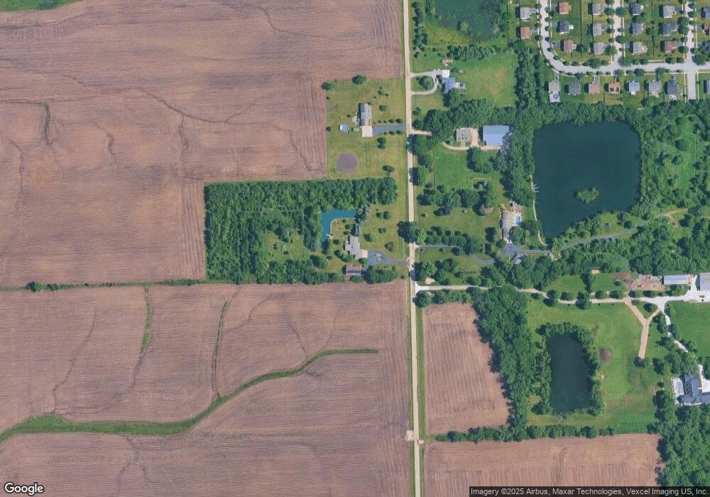
Map
Nearby Homes
- 622 Gallant Dr
- 1308 Kettleson Dr
- 1510 Balboa Dr
- 1529 Balboa Dr Unit 2A
- Lot 1 Minooka Ridge & Jones Rd
- 2041 Isabella Ln
- LOT 1 Bob Blair Rd
- 405 W Mondamin St
- 2037 Isabella Ln
- 701 Davidson Dr Unit B
- 204 N Wabasso St
- 6010-6060 E Minooka Rd
- 214 Deerpath Dr
- 105 Blackhawk Dr
- 706 O Toole Dr
- LOT 28 O Toole Dr
- 603 Mahoney Dr
- 1133 Coneflower Ct
- 805 Edgewater Dr
- VL Mcevilly Rd
- 16997 Hare Rd
- 17110 Hare Rd
- 16971 Hare Rd
- 713 Briarcliff Dr
- 709 Briarcliff Dr
- 721 Briarcliff Dr
- 705 Briarcliff Dr
- 725 Briarcliff Dr
- 716 Briarcliff Dr
- 701 Briarcliff Dr
- 729 Briarcliff Dr
- 720 Briarcliff Dr
- 733 Gallant Dr
- 724 Briarcliff Dr
- 637 Briarcliff Dr
- 733 Briarcliff Dr
- 729 Gallant Dr
- 728 Briarcliff Dr
- 725 Gallant Dr
- 633 Briarcliff Dr
Your Personal Tour Guide
Ask me questions while you tour the home.