17127 Kind Rd Preston, MN 55965
Estimated Value: $161,000 - $476,874
2
Beds
1
Bath
1,236
Sq Ft
$268/Sq Ft
Est. Value
About This Home
This home is located at 17127 Kind Rd, Preston, MN 55965 and is currently estimated at $331,469, approximately $268 per square foot. 17127 Kind Rd is a home located in Fillmore County with nearby schools including Fillmore Central Elementary School and Fillmore Central Senior High School.
Ownership History
Date
Name
Owned For
Owner Type
Purchase Details
Closed on
Oct 31, 2008
Sold by
Bigalk David and Bigalk Jane E
Bought by
Scheevel David L and Scheevel Kathy A
Current Estimated Value
Home Financials for this Owner
Home Financials are based on the most recent Mortgage that was taken out on this home.
Original Mortgage
$170,250
Interest Rate
6.3%
Mortgage Type
Purchase Money Mortgage
Create a Home Valuation Report for This Property
The Home Valuation Report is an in-depth analysis detailing your home's value as well as a comparison with similar homes in the area
Home Values in the Area
Average Home Value in this Area
Purchase History
| Date | Buyer | Sale Price | Title Company |
|---|---|---|---|
| Scheevel David L | $170,000 | None Available |
Source: Public Records
Mortgage History
| Date | Status | Borrower | Loan Amount |
|---|---|---|---|
| Previous Owner | Scheevel David L | $170,250 |
Source: Public Records
Tax History Compared to Growth
Tax History
| Year | Tax Paid | Tax Assessment Tax Assessment Total Assessment is a certain percentage of the fair market value that is determined by local assessors to be the total taxable value of land and additions on the property. | Land | Improvement |
|---|---|---|---|---|
| 2025 | $1,036 | $429,300 | $242,200 | $187,100 |
| 2024 | $1,036 | $350,300 | $206,000 | $144,300 |
| 2023 | $738 | $350,300 | $206,000 | $144,300 |
| 2022 | $738 | $318,200 | $203,700 | $114,500 |
| 2021 | $738 | $281,100 | $179,700 | $101,400 |
| 2020 | $662 | $281,100 | $179,700 | $101,400 |
| 2019 | $726 | $278,400 | $175,400 | $103,000 |
| 2018 | $672 | $278,400 | $175,400 | $103,000 |
| 2017 | -- | $264,500 | $168,300 | $96,200 |
| 2016 | $666 | $255,900 | $159,700 | $96,200 |
| 2015 | $922 | $254,200 | $178,490 | $75,710 |
| 2014 | $922 | $255,100 | $179,390 | $75,710 |
| 2013 | $922 | $211,900 | $137,264 | $74,636 |
Source: Public Records
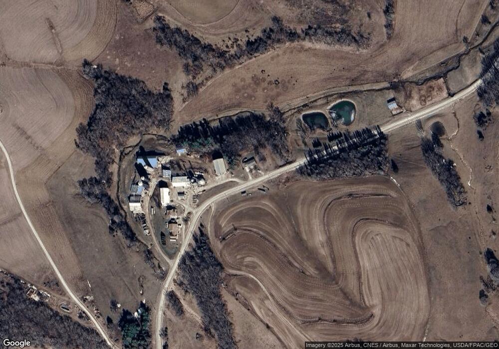
Map
Nearby Homes
- 15158 241st Ave
- Township Road 301
- TBD XXX Maple Rd
- 928 Overlook Dr NW
- 108 Saint Paul St NW
- 108 Saint Paul St SW
- 605 Lincoln St SE
- 929 Overlook Dr
- 1013 Overlook Dr
- 213 North St NE
- 1024 Overlook Dr
- 109 Valley St NW
- 936 Overlook Dr
- 913 Overlook Dr
- 1003 Sunset Rd
- 1002 Golfview Dr
- 1018 Golfview Dr
- 1010 Golfview Dr
- 1110 Golfview Dr
- 1118 Golfview Dr
- 17057 Kind Rd
- 17077 Kind Rd
- 17077 Kind Rd
- 17465 Kind Rd
- 25632 County 110
- 25704 25704 Cty 110
- 25704 Cty 110
- 25704 County 110
- 25704 County 110
- 25704 County 110
- 25704 County 110
- 25275 County 110
- 24903 166th St
- 17539 County 15
- 24556 County 14
- 24756 166th St
- 25741 166th St
- 24280 County 14
- 24280 County 14
- 24280 County 14