1713 Lenhardt Ln Billings, MT 59106
West Shiloh NeighborhoodEstimated Value: $914,000 - $1,576,966
4
Beds
3
Baths
4,777
Sq Ft
$267/Sq Ft
Est. Value
About This Home
This home is located at 1713 Lenhardt Ln, Billings, MT 59106 and is currently estimated at $1,275,989, approximately $267 per square foot. 1713 Lenhardt Ln is a home located in Yellowstone County with nearby schools including Boulder School, Ben Steele Middle School, and Billings West High School.
Ownership History
Date
Name
Owned For
Owner Type
Purchase Details
Closed on
Aug 19, 2019
Sold by
Vuletich Mark and Vuletich Catherine I
Bought by
Swain Aaron D and Swain Jessica C
Current Estimated Value
Home Financials for this Owner
Home Financials are based on the most recent Mortgage that was taken out on this home.
Original Mortgage
$484,350
Outstanding Balance
$424,201
Interest Rate
3.7%
Mortgage Type
Stand Alone Refi Refinance Of Original Loan
Estimated Equity
$851,788
Create a Home Valuation Report for This Property
The Home Valuation Report is an in-depth analysis detailing your home's value as well as a comparison with similar homes in the area
Home Values in the Area
Average Home Value in this Area
Purchase History
| Date | Buyer | Sale Price | Title Company |
|---|---|---|---|
| Swain Aaron D | -- | -- |
Source: Public Records
Mortgage History
| Date | Status | Borrower | Loan Amount |
|---|---|---|---|
| Open | Swain Aaron D | $484,350 |
Source: Public Records
Tax History Compared to Growth
Tax History
| Year | Tax Paid | Tax Assessment Tax Assessment Total Assessment is a certain percentage of the fair market value that is determined by local assessors to be the total taxable value of land and additions on the property. | Land | Improvement |
|---|---|---|---|---|
| 2025 | $10,448 | $1,663,700 | $288,844 | $1,374,856 |
| 2024 | $10,448 | $1,340,900 | $293,722 | $1,047,178 |
| 2023 | $10,246 | $1,340,900 | $293,722 | $1,047,178 |
| 2022 | $8,876 | $1,156,400 | $0 | $0 |
| 2021 | $10,110 | $1,156,400 | $0 | $0 |
| 2020 | $9,751 | $1,129,500 | $0 | $0 |
| 2019 | $8,029 | $936,500 | $0 | $0 |
| 2018 | $7,538 | $858,300 | $0 | $0 |
| 2017 | $6,588 | $858,300 | $0 | $0 |
| 2016 | $7,649 | $918,000 | $0 | $0 |
| 2015 | $7,463 | $918,000 | $0 | $0 |
| 2014 | $6,406 | $417,640 | $0 | $0 |
Source: Public Records
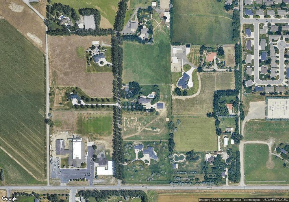
Map
Nearby Homes
- 1200 Bluegrass Dr W
- 4342 Rangeview Dr
- 2280 Ridgewood Ln S
- 2238 Pine Creek Trail
- 2213 Westfield Dr
- 2301 Elsa Dr
- 2020 Swanson Ln
- 700 Bluegrass Place
- 4902 Silver Creek Trail
- 4816 Silver Creek Trail
- 3865 Avenue C
- 2514 Silver Pine Ct
- 4706 Sky Vista Ct
- 2531 Blue Moon Ct
- 2518 Silver Pine Ct
- 4044 Backwoods Dr
- 4613 Shining Light Ln
- 4625 Shining Light Ln
- 661 Light Stream Ln
- 2509 Buffalo Ridge Trail
- 1804 43rd St W
- 1505 Lenhardt Ln
- 1730 Lenhardt Ln
- 1727 Lenhardt Ln
- 1708 Lenhardt Ln
- 4347 Grand Ave
- 1800 43rd St W
- 1708 43rd St W
- 4309 Grand Ave
- 1340 Cloverleaf Place
- 1355 Cloverleaf Place
- 4216 Julaura Ln
- 1810 Lenhardt Ln
- 4222 Julaura Ln
- 4228 Julaura Ln
- 1365 Bluegrass Dr
- 4210 Julaura Ln
- 4204 Julaura Ln
- 4204 Julaura Ln
- 4204 Julaura Ln Unit 4204