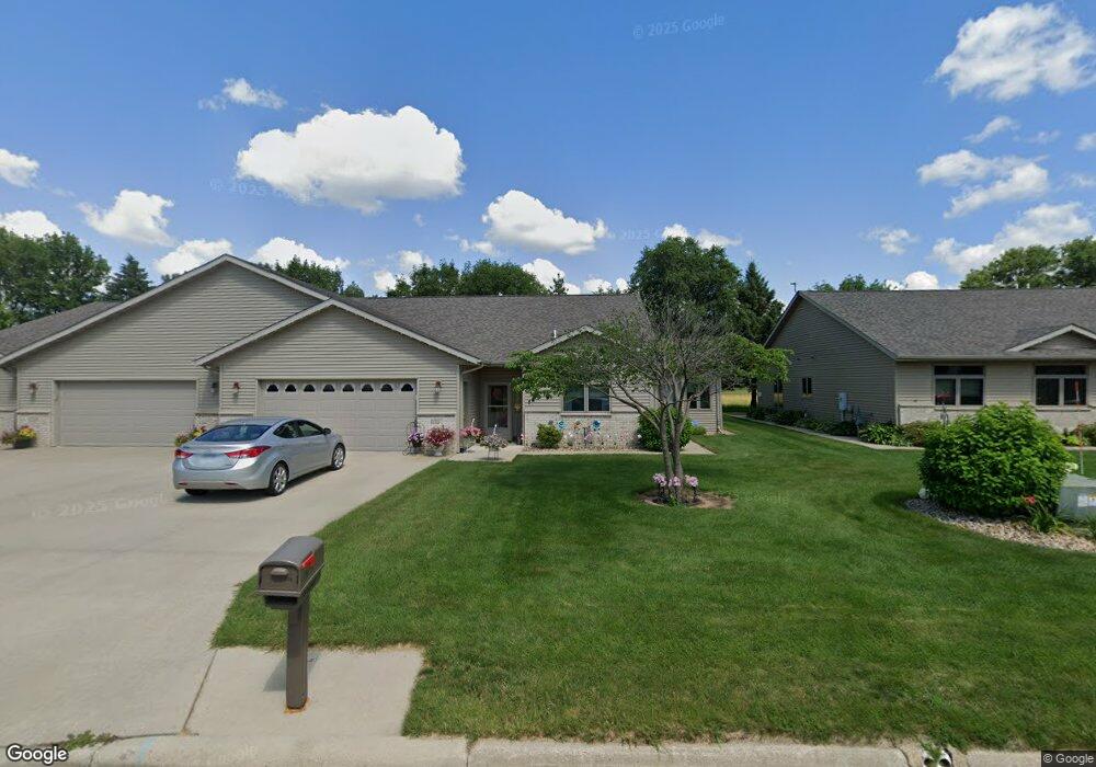
1714 Crystal Dr Albert Lea, MN 56007
Estimated Value: $353,000 - $376,000
2
Beds
2
Baths
1,644
Sq Ft
$224/Sq Ft
Est. Value
About This Home
This home is located at 1714 Crystal Dr, Albert Lea, MN 56007 and is currently estimated at $367,600, approximately $223 per square foot. 1714 Crystal Dr is a home with nearby schools including Hawthorne Elementary School, Southwest Middle School, and Albert Lea Senior High School.
Ownership History
Date
Name
Owned For
Owner Type
Purchase Details
Closed on
Jan 11, 2013
Sold by
Dawson Ventures Llc
Bought by
Kalls David and Kalls Pat
Current Estimated Value
Purchase Details
Closed on
Aug 6, 2012
Sold by
Dress George and Dress Mary
Bought by
Dawson Ventures Llc
Create a Home Valuation Report for This Property
The Home Valuation Report is an in-depth analysis detailing your home's value as well as a comparison with similar homes in the area
Home Values in the Area
Average Home Value in this Area
Purchase History
| Date | Buyer | Sale Price | Title Company |
|---|---|---|---|
| Kalls David | -- | Christian & Peterson Pa | |
| Dawson Ventures Llc | -- | -- |
Source: Public Records
Tax History Compared to Growth
Tax History
| Year | Tax Paid | Tax Assessment Tax Assessment Total Assessment is a certain percentage of the fair market value that is determined by local assessors to be the total taxable value of land and additions on the property. | Land | Improvement |
|---|---|---|---|---|
| 2025 | $4,160 | $329,300 | $16,800 | $312,500 |
| 2024 | $4,178 | $284,300 | $16,800 | $267,500 |
| 2023 | $4,028 | $285,300 | $16,800 | $268,500 |
| 2022 | $3,774 | $276,200 | $16,800 | $259,400 |
| 2021 | $3,532 | $226,400 | $16,800 | $209,600 |
| 2020 | $3,558 | $213,800 | $16,800 | $197,000 |
| 2019 | $3,204 | $196,700 | $16,800 | $179,900 |
| 2018 | $2,942 | $0 | $0 | $0 |
| 2016 | $2,762 | $0 | $0 | $0 |
| 2015 | $2,704 | $0 | $0 | $0 |
| 2014 | $2,624 | $0 | $0 | $0 |
| 2012 | $114 | $0 | $0 | $0 |
Source: Public Records
Map
Nearby Homes
- 1626 Keystone Dr
- 705 Glenview Dr
- 313 Glenn Rd
- 1321 Garfield Ave
- 605 E Hawthorne St
- 209 Burr Oak Dr
- 314 Burr Oak Dr
- 1020 Saint Jacob Ave
- 613 & 615 Giles Place
- 618 & 620 Giles Place
- 902 Clausen Ave
- 2161 Highland Ave
- TBD 2709 - 2715 Bridge Ave
- 1200 Crestview Rd
- 819 Pillsbury Ave
- 713 Minnesota Ave
- 711 Clausen Ave
- 602 Minnesota Ave
- xxx Hi Tec Ave
- 614 Garfield Ave
- 1710 Crystal Dr
- 1718 Crystal Dr
- 1708 Crystal Dr
- 1720 Crystal Dr
- 1706 Crystal Dr
- 1709 Crystal Dr
- 1705 Crystal Dr
- XXX Unknown
- 1726 Keystone Dr
- 1718 Keystone Dr
- 1724 Keystone Dr
- 1714 Keystone Dr
- 1703 Crystal Dr
- 1722 Crystal Dr
- 1710-1712 Keystone Dr
- 1809 Silver Ln
- 1813 Silver Ln
- 1726 Crystal Dr
- 1634 Crystal Dr
- 1706 Keystone Dr