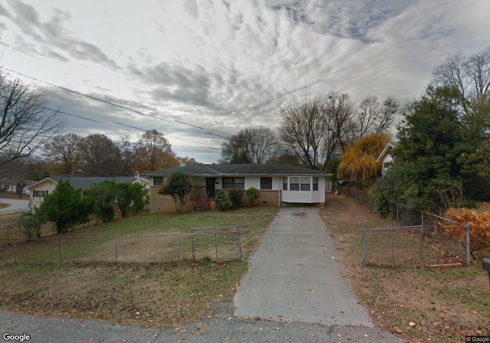
1714 Williams Rd Hixson, TN 37343
Dupont NeighborhoodEstimated Value: $247,000 - $285,667
2
Beds
2
Baths
1,155
Sq Ft
$232/Sq Ft
Est. Value
About This Home
This home is located at 1714 Williams Rd, Hixson, TN 37343 and is currently estimated at $267,667, approximately $231 per square foot. 1714 Williams Rd is a home located in Hamilton County with nearby schools including DuPont Elementary School, St Jude School, and St. Peter's Episcopal School.
Ownership History
Date
Name
Owned For
Owner Type
Purchase Details
Closed on
Mar 11, 1998
Sold by
Keith George L and Keith Marguerite A
Bought by
Phimmachack Xaypaseuth and Phimmachack Thongmouan
Current Estimated Value
Home Financials for this Owner
Home Financials are based on the most recent Mortgage that was taken out on this home.
Original Mortgage
$66,350
Outstanding Balance
$12,192
Interest Rate
7.07%
Mortgage Type
FHA
Estimated Equity
$255,475
Purchase Details
Closed on
Mar 9, 1995
Sold by
White Harry L and White Helen B
Bought by
Keith George L
Create a Home Valuation Report for This Property
The Home Valuation Report is an in-depth analysis detailing your home's value as well as a comparison with similar homes in the area
Home Values in the Area
Average Home Value in this Area
Purchase History
| Date | Buyer | Sale Price | Title Company |
|---|---|---|---|
| Phimmachack Xaypaseuth | $65,900 | Northgate Title Escrow Inc | |
| Keith George L | $56,000 | -- |
Source: Public Records
Mortgage History
| Date | Status | Borrower | Loan Amount |
|---|---|---|---|
| Open | Phimmachack Xaypaseuth | $66,350 |
Source: Public Records
Tax History Compared to Growth
Tax History
| Year | Tax Paid | Tax Assessment Tax Assessment Total Assessment is a certain percentage of the fair market value that is determined by local assessors to be the total taxable value of land and additions on the property. | Land | Improvement |
|---|---|---|---|---|
| 2024 | $1,146 | $51,225 | $0 | $0 |
| 2023 | $1,146 | $51,225 | $0 | $0 |
| 2022 | $1,146 | $51,225 | $0 | $0 |
| 2021 | $1,146 | $51,225 | $0 | $0 |
| 2020 | $800 | $28,925 | $0 | $0 |
| 2019 | $800 | $28,925 | $0 | $0 |
| 2018 | $785 | $28,925 | $0 | $0 |
| 2017 | $800 | $28,925 | $0 | $0 |
| 2016 | $707 | $0 | $0 | $0 |
| 2015 | $1,413 | $25,575 | $0 | $0 |
| 2014 | $1,413 | $0 | $0 | $0 |
Source: Public Records
Map
Nearby Homes
- 1638 Green Hill Dr
- 1716 Strawberry Ln
- 1237 Cranbrook Dr
- Lot 3 Northpoint Cottages
- Lot 1 Northpoint Cottages
- Lot 9 Northpoint Cottages Blvd
- Lot 22 Northpoint Cottages
- Lot 33 Northpoint Cottages
- Lot 7 Northpoint Cottages
- 4607 Cloverdale Loop
- 1313 Michael Ln
- 1329 Highland Way
- 955 Brynwood Dr
- 4706 Eldridge Rd
- 5195 Austin Rd
- 410 Bardwood Ln
- 5215 Austin Rd
- 1325 Highland Rd
- 810 Forest Dale Ln
- 1328 Highland Rd
- 1716 Williams Rd
- 1712 Williams Rd
- 1713 Broadview Dr
- 1715 Broadview Dr
- 1710 Williams Rd
- 1711 Broadview Dr
- 1711 Williams Rd
- 1715 Williams Rd
- 1801 Williams Rd
- 1709 Broadview Dr
- 1717 Williams Rd
- 1708 Williams Rd
- 1802 Williams Rd
- 1709 Williams Rd
- 1707 Broadview Dr
- 1803 Williams Rd
- 1706 Williams Rd
- 1706 Williams Rd Unit 16
- 4802 Greenview Ln
- 1714 Broadview Dr