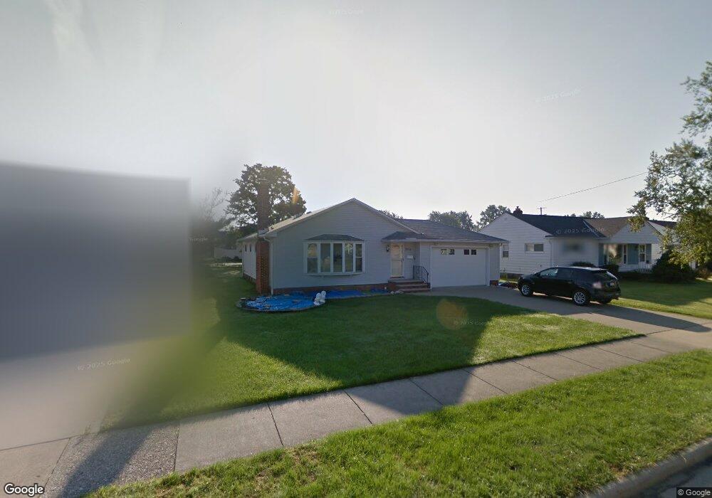
1715 Alcester Rd Cleveland, OH 44124
Estimated Value: $202,000 - $283,000
3
Beds
1
Bath
1,436
Sq Ft
$171/Sq Ft
Est. Value
About This Home
This home is located at 1715 Alcester Rd, Cleveland, OH 44124 and is currently estimated at $245,358, approximately $170 per square foot. 1715 Alcester Rd is a home located in Cuyahoga County with nearby schools including Mayfield High School, Corpus Christi Academy, and Gilmour Academy.
Ownership History
Date
Name
Owned For
Owner Type
Purchase Details
Closed on
Sep 7, 2012
Sold by
Alexander Sheri M and Alexander Norman
Bought by
Slagle Martha J and Alexander Sheri M
Current Estimated Value
Purchase Details
Closed on
Nov 2, 2010
Sold by
Slagle Martha J
Bought by
Alexander Sheri M
Purchase Details
Closed on
Feb 11, 1983
Sold by
Slagle Noel A
Bought by
Slagle Noel A
Purchase Details
Closed on
Jan 1, 1975
Bought by
Slagle Noel A
Create a Home Valuation Report for This Property
The Home Valuation Report is an in-depth analysis detailing your home's value as well as a comparison with similar homes in the area
Home Values in the Area
Average Home Value in this Area
Purchase History
| Date | Buyer | Sale Price | Title Company |
|---|---|---|---|
| Slagle Martha J | -- | None Available | |
| Alexander Sheri M | -- | None Available | |
| Slagle Noel A | -- | -- | |
| Slagle Noel A | -- | -- |
Source: Public Records
Tax History Compared to Growth
Tax History
| Year | Tax Paid | Tax Assessment Tax Assessment Total Assessment is a certain percentage of the fair market value that is determined by local assessors to be the total taxable value of land and additions on the property. | Land | Improvement |
|---|---|---|---|---|
| 2024 | $5,076 | $77,385 | $15,260 | $62,125 |
| 2023 | $4,209 | $59,190 | $13,830 | $45,360 |
| 2022 | $4,345 | $59,190 | $13,830 | $45,360 |
| 2021 | $4,300 | $59,190 | $13,830 | $45,360 |
| 2020 | $4,015 | $50,610 | $11,830 | $38,780 |
| 2019 | $3,890 | $144,600 | $33,800 | $110,800 |
| 2018 | $3,742 | $50,610 | $11,830 | $38,780 |
| 2017 | $3,968 | $48,620 | $11,130 | $37,490 |
| 2016 | $3,938 | $48,620 | $11,130 | $37,490 |
| 2015 | $3,573 | $48,620 | $11,130 | $37,490 |
| 2014 | $3,573 | $47,670 | $10,920 | $36,750 |
Source: Public Records
Map
Nearby Homes
- 1637 Lander Rd
- 1737 Mayfair Blvd
- 6132 Westerham Rd
- 1575 Lander Rd
- 1572 Crestwood Rd
- 5931 Mayberry Ave
- 5960 Cantwell Dr
- 1722 Hawthorne Dr
- 1593 Woodhurst Ave
- 1604 Fruitland Ave
- 1542 Woodhurst Ave
- 1574 Hawthorne Dr
- 1763 Temple Ave
- 1590 Longwood Dr
- 210 Teal Trace Unit 210
- 5831 Alberta Dr
- 1652 Temple Ave
- 1520 Fruitland Ave
- 140 Fox Hollow Dr Unit 201A
- 1430 Belrose Rd
- 1723 Alcester Rd
- 1709 Alcester Rd
- 1716 Bellingham Rd
- 1729 Alcester Rd
- 1710 Bellingham Rd
- 1724 Bellingham Rd
- 1716 Alcester Rd
- 1730 Bellingham Rd
- 1724 Alcester Rd
- 1710 Alcester Rd
- 1735 Alcester Rd
- 6041 Ascot Rd
- 1730 Alcester Rd
- 1736 Bellingham Rd
- 6035 Ascot Rd
- 6053 Ascot Rd
- 1741 Alcester Rd
- 6029 Ascot Rd
- 1736 Alcester Rd
- 6059 Ascot Rd