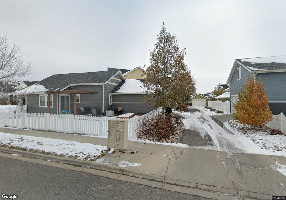
1715 Front St Billings, MT 59101
South Central Billings NeighborhoodEstimated Value: $447,000 - $468,000
3
Beds
4
Baths
2,910
Sq Ft
$156/Sq Ft
Est. Value
About This Home
This home is located at 1715 Front St, Billings, MT 59101 and is currently estimated at $454,004, approximately $156 per square foot. 1715 Front St is a home located in Yellowstone County with nearby schools including Elysian Elementary School, Elysian School, and Billings West High School.
Ownership History
Date
Name
Owned For
Owner Type
Purchase Details
Closed on
Mar 12, 2010
Sold by
Mccall Development Inc
Bought by
Santistevan Pete P and Santistevan Verna
Current Estimated Value
Home Financials for this Owner
Home Financials are based on the most recent Mortgage that was taken out on this home.
Original Mortgage
$270,000
Outstanding Balance
$178,503
Interest Rate
4.93%
Mortgage Type
New Conventional
Estimated Equity
$275,501
Create a Home Valuation Report for This Property
The Home Valuation Report is an in-depth analysis detailing your home's value as well as a comparison with similar homes in the area
Home Values in the Area
Average Home Value in this Area
Purchase History
| Date | Buyer | Sale Price | Title Company |
|---|---|---|---|
| Santistevan Pete P | -- | None Available |
Source: Public Records
Mortgage History
| Date | Status | Borrower | Loan Amount |
|---|---|---|---|
| Open | Santistevan Pete P | $270,000 |
Source: Public Records
Tax History Compared to Growth
Tax History
| Year | Tax Paid | Tax Assessment Tax Assessment Total Assessment is a certain percentage of the fair market value that is determined by local assessors to be the total taxable value of land and additions on the property. | Land | Improvement |
|---|---|---|---|---|
| 2025 | $3,428 | $456,900 | $62,496 | $394,404 |
| 2024 | $3,428 | $387,100 | $68,857 | $318,243 |
| 2023 | $3,484 | $387,100 | $68,857 | $318,243 |
| 2022 | $3,243 | $320,300 | $60,254 | $260,046 |
| 2021 | $2,979 | $320,300 | $0 | $0 |
| 2020 | $2,963 | $310,700 | $0 | $0 |
| 2019 | $2,815 | $310,700 | $0 | $0 |
| 2018 | $2,727 | $290,900 | $0 | $0 |
| 2017 | $2,588 | $290,900 | $0 | $0 |
| 2016 | $2,512 | $286,000 | $0 | $0 |
| 2015 | $2,430 | $286,000 | $0 | $0 |
| 2014 | $2,693 | $167,798 | $0 | $0 |
Source: Public Records
Map
Nearby Homes
- 1610 Lone Pine Dr
- 1618 Hollyhock St
- 1615 Stony Meadow Ln
- 1815 Stony Meadow Ln
- 1724 Songbird Dr
- 1616 Island View Dr
- 5454 Elysian Rd
- 1868 Songbird Dr
- 5242 Sacagawea Dr
- 5474 Elysian Rd
- 6114 Northstead Ave
- 6152 Northstead Ave
- 2503 Blue Creek Rd
- 6140 Johanns Meadow Ln
- Lamar Plan at Annafeld
- Opal Plan at Annafeld
- Glacier Plan at Annafeld
- Emerald Plan at Annafeld
- Trout Creek Duplex Plan at Annafeld - Annafeld - Duplexes
- Mammoth Plan at Annafeld
- 1711 Front St
- 1719 Front St
- 1707 Front St
- 1727 Front St
- 1723 Front St
- 1712 Lone Pine Dr
- 1731 Front St
- 1708 Lone Pine Dr
- 1716 Lone Pine Dr
- 1704 Lone Pine Dr
- 1735 Front St
- 1641 Front St
- 1718 Front St
- 1634 Lone Pine Dr
- 1720 Lone Pine Dr
- 1722 Front St
- 1739 Front St
- 1637 Front St
- 1630 Lone Pine Dr
- 1714 Front St