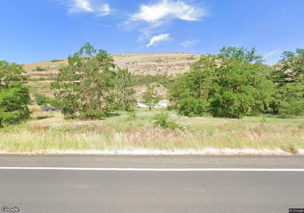
17150 State Highway 3 Juliaetta, ID 83535
Estimated Value: $616,000 - $992,000
5
Beds
3
Baths
4,978
Sq Ft
$168/Sq Ft
Est. Value
About This Home
This home is located at 17150 State Highway 3, Juliaetta, ID 83535 and is currently estimated at $833,984, approximately $167 per square foot. 17150 State Highway 3 is a home with nearby schools including Lapwai Elementary School and Lapwai Middle/High School.
Ownership History
Date
Name
Owned For
Owner Type
Purchase Details
Closed on
Nov 21, 2019
Sold by
Henderson David G and Henderson Brooke E
Bought by
Henderson David G and Henderson Brooke E
Current Estimated Value
Home Financials for this Owner
Home Financials are based on the most recent Mortgage that was taken out on this home.
Original Mortgage
$325,000
Interest Rate
3.5%
Mortgage Type
New Conventional
Purchase Details
Closed on
Jan 17, 2017
Sold by
Steve Henderson Logging Inc
Bought by
Henderson David G
Home Financials for this Owner
Home Financials are based on the most recent Mortgage that was taken out on this home.
Original Mortgage
$112,800
Interest Rate
4.16%
Mortgage Type
New Conventional
Create a Home Valuation Report for This Property
The Home Valuation Report is an in-depth analysis detailing your home's value as well as a comparison with similar homes in the area
Home Values in the Area
Average Home Value in this Area
Purchase History
| Date | Buyer | Sale Price | Title Company |
|---|---|---|---|
| Henderson David G | -- | Land Ttl Of Nez Perce Count | |
| Henderson David G | -- | Alliance Title |
Source: Public Records
Mortgage History
| Date | Status | Borrower | Loan Amount |
|---|---|---|---|
| Closed | Henderson David G | $325,000 | |
| Closed | Henderson David G | $112,800 |
Source: Public Records
Tax History Compared to Growth
Tax History
| Year | Tax Paid | Tax Assessment Tax Assessment Total Assessment is a certain percentage of the fair market value that is determined by local assessors to be the total taxable value of land and additions on the property. | Land | Improvement |
|---|---|---|---|---|
| 2025 | $2,202 | $641,682 | $62,468 | $579,214 |
| 2024 | $21 | $595,880 | $56,789 | $539,091 |
| 2023 | $1,839 | $569,386 | $47,324 | $522,062 |
| 2022 | $2,779 | $577,984 | $39,437 | $538,547 |
| 2021 | $2,234 | $422,846 | $34,293 | $388,553 |
| 2020 | $2,330 | $391,953 | $32,660 | $359,293 |
| 2019 | $235 | $32,660 | $32,660 | $0 |
| 2018 | $237 | $31,740 | $31,740 | $0 |
| 2017 | $232 | $0 | $0 | $0 |
| 2016 | $232 | $0 | $0 | $0 |
| 2015 | $224 | $0 | $0 | $0 |
| 2014 | $220 | $30,360 | $30,360 | $0 |
Source: Public Records
Map
Nearby Homes
- 17550 Stoney Point
- 164 State St
- 13790 Cross Farm Rd
- TBD Arrow Highline Rd
- 1647 State Highway 3
- NKA Clearwater Ridge Dr
- 0 Nka Clearwater Ridge Dr
- NKA Clearwater Ridge Dr
- TBD Clearwater Dr
- 24500 Arrow Highline Rd
- 16078 Hoffman Rd
- 1701 State Highway 3
- 701 Wheeler St
- 18699 Family Ln
- 812 Main St
- 901 E Main St
- 29634 Wild Plum Ln
- TBD Highway 12
- 18072 Central Grade
- 34245 Grandview Ln
- 1005 Highway 3
- 26052 Robin Ln
- 0 McGary Unit 98722412
- 14859 14859 Unit McGary Grade
- 13325 Pine Creek Ln
- TBD Redberry Ln
- 1031 Highway 3
- 17594 State Highway 3
- 17594 State Hwy 3
- 1051 Highway 3
- 1061 Highway 3
- Buttercup Lane
- 1829 #S4 Highway 3
- TBD Clark St
- 18423 Hubbard Gulch Rd
- tbd Tbd
- 1071 Highway 3
- 1091 Highway 3
- 1111 Highway 3
- 19816 Stoney Point Rd