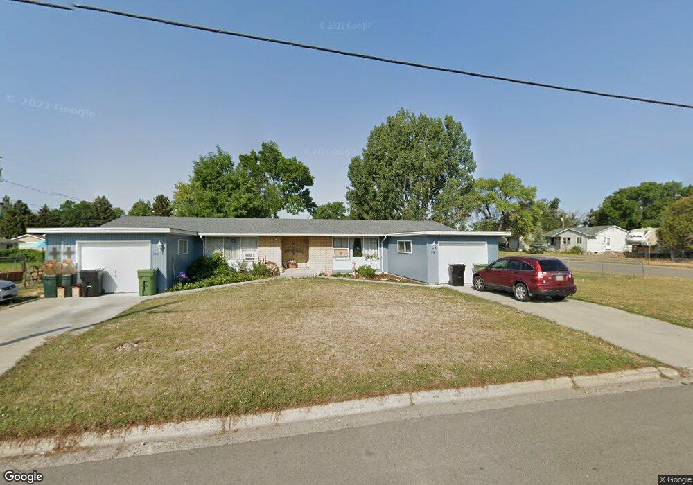
1716 Bitterroot Dr Billings, MT 59105
Billings Heights NeighborhoodEstimated Value: $275,719 - $400,000
8
Beds
4
Baths
1,842
Sq Ft
$193/Sq Ft
Est. Value
About This Home
This home is located at 1716 Bitterroot Dr, Billings, MT 59105 and is currently estimated at $355,906, approximately $193 per square foot. 1716 Bitterroot Dr is a home located in Yellowstone County with nearby schools including Beartooth School, Medicine Crow Middle School, and Skyview High School.
Ownership History
Date
Name
Owned For
Owner Type
Purchase Details
Closed on
May 16, 2025
Sold by
Herzog Eva Darlene
Bought by
Bustillo Destinee and Zavala Martin Bustillo
Current Estimated Value
Home Financials for this Owner
Home Financials are based on the most recent Mortgage that was taken out on this home.
Original Mortgage
$13,475
Outstanding Balance
$1,382
Interest Rate
6.83%
Mortgage Type
New Conventional
Estimated Equity
$354,524
Create a Home Valuation Report for This Property
The Home Valuation Report is an in-depth analysis detailing your home's value as well as a comparison with similar homes in the area
Home Values in the Area
Average Home Value in this Area
Purchase History
| Date | Buyer | Sale Price | Title Company |
|---|---|---|---|
| Bustillo Destinee | -- | Stewart Title Company |
Source: Public Records
Mortgage History
| Date | Status | Borrower | Loan Amount |
|---|---|---|---|
| Open | Bustillo Destinee | $13,475 | |
| Open | Bustillo Destinee | $378,026 |
Source: Public Records
Tax History
| Year | Tax Paid | Tax Assessment Tax Assessment Total Assessment is a certain percentage of the fair market value that is determined by local assessors to be the total taxable value of land and additions on the property. | Land | Improvement |
|---|---|---|---|---|
| 2025 | $2,795 | $269,400 | $99,601 | $169,799 |
| 2024 | $2,795 | $269,000 | $74,529 | $194,471 |
| 2023 | $2,805 | $269,000 | $74,529 | $194,471 |
| 2022 | $2,105 | $223,000 | $0 | $0 |
| 2021 | $2,420 | $223,000 | $0 | $0 |
| 2020 | $2,149 | $185,800 | $0 | $0 |
| 2019 | $2,054 | $185,800 | $0 | $0 |
| 2018 | $2,040 | $181,700 | $0 | $0 |
| 2017 | $1,982 | $181,700 | $0 | $0 |
| 2016 | $1,892 | $175,800 | $0 | $0 |
| 2015 | $1,850 | $175,800 | $0 | $0 |
| 2014 | $1,369 | $66,250 | $0 | $0 |
Source: Public Records
Map
Nearby Homes
- 1635 Elaine St
- 1724 Natalie St
- 1602 Wicks Ln Unit 8
- 1961 Bitterroot Dr
- 1312 Maurine St
- 1409 Carson Way
- 1402 Emma Ave
- 1615 Cherry Creek Loop
- 1588 Peony Dr
- 1327 Tania Cir
- 1320 Mading Dr
- 6 N Bing
- 1 Attika St N
- 1330 Anchor Ave
- 1517 Peony Dr
- 1518 S Ping Cir
- 4 Lapin St
- 1261 Cherry Island Dr
- 1272 Cherry Island Dr
- 1290 Cherry Island Dr
- 1540 Maurine St
- 1706 Bitterroot Dr
- 1730 Bitterroot Dr
- 1541 Janie St
- 1732 Bitterroot Dr
- 1539 Maurine St
- 1703 Bitterroot Dr
- 1531 Maurine St
- 1526 Maurine St
- 1803 Bitterroot Dr
- 1525 Janie St
- 1616 Maurine St
- 1613 Janie St
- 1525 Maurine St
- 1742 Bitterroot Dr
- 1517 Janie St
- 1640 Bitterroot Dr
- 1615 Maurine St
- 1518 Maurine St
- 1540 Elaine St
Your Personal Tour Guide
Ask me questions while you tour the home.