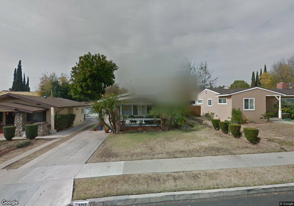
1717 Phillips Way Los Angeles, CA 90042
Estimated Value: $1,196,000 - $1,469,000
3
Beds
2
Baths
1,530
Sq Ft
$844/Sq Ft
Est. Value
About This Home
This home is located at 1717 Phillips Way, Los Angeles, CA 90042 and is currently estimated at $1,291,869, approximately $844 per square foot. 1717 Phillips Way is a home located in Los Angeles County with nearby schools including Buchanan Street Elementary, Benjamin Franklin High School, and Luther Burbank Middle School.
Ownership History
Date
Name
Owned For
Owner Type
Purchase Details
Closed on
May 15, 2025
Sold by
Astudillo George Arturo and Astudillo Alexandra Mari
Bought by
Astudillo George Arturo and Astudillo Alexandra
Current Estimated Value
Purchase Details
Closed on
Jun 29, 2014
Sold by
Ramirez Alexandra Maria
Bought by
Astudillo George Arturo
Create a Home Valuation Report for This Property
The Home Valuation Report is an in-depth analysis detailing your home's value as well as a comparison with similar homes in the area
Home Values in the Area
Average Home Value in this Area
Purchase History
| Date | Buyer | Sale Price | Title Company |
|---|---|---|---|
| Astudillo George Arturo | -- | None Listed On Document | |
| Astudillo George Arturo | -- | None Available |
Source: Public Records
Tax History Compared to Growth
Tax History
| Year | Tax Paid | Tax Assessment Tax Assessment Total Assessment is a certain percentage of the fair market value that is determined by local assessors to be the total taxable value of land and additions on the property. | Land | Improvement |
|---|---|---|---|---|
| 2025 | $2,204 | $171,525 | $101,639 | $69,886 |
| 2024 | $2,204 | $168,163 | $99,647 | $68,516 |
| 2023 | $2,164 | $164,867 | $97,694 | $67,173 |
| 2022 | $2,067 | $161,635 | $95,779 | $65,856 |
| 2021 | $2,033 | $158,466 | $93,901 | $64,565 |
| 2019 | $1,974 | $153,767 | $91,117 | $62,650 |
| 2018 | $1,889 | $150,753 | $89,331 | $61,422 |
| 2016 | $1,787 | $144,901 | $85,863 | $59,038 |
| 2015 | $1,761 | $142,726 | $84,574 | $58,152 |
| 2014 | $1,774 | $139,931 | $82,918 | $57,013 |
Source: Public Records
Map
Nearby Homes
- 5252 Range View Ave
- 5117 Stratford Rd
- 1813 N Avenue 53
- 5240 Barker Dr
- 1813 N Avenue 55
- 1932 Phillips Way
- 1800 N Avenue 55
- 1942 Phillips Way
- 1938 Phillips Way
- 1915 N Avenue 52
- 1902 N Avenue 51
- 5125 Buchanan St
- 1815 Nolden St
- 1370 N Avenue 57
- 1333 Wildwood Dr
- 4925 Buchanan St
- 1113 N Avenue 50
- 1632 Oak Grove Dr
- 829 N Avenue 53
- 5055 Hub St
- 1711 Phillips Way
- 1723 Phillips Way
- 5218 Almaden Dr
- 1707 Phillips Way
- 5214 Almaden Dr
- 5221 Range View Ave
- 1701 Phillips Way
- 5217 Range View Ave
- 5210 Almaden Dr
- 1716 Phillips Way
- 1710 Phillips Way
- 1720 Phillips Way
- 1733 Phillips Way
- 1731 Phillips Way
- 5209 Range View Ave
- 1726 Phillips Way
- 1706 Phillips Way
- 5206 Almaden Dr
- 1730 Phillips Way
- 1700 Phillips Way