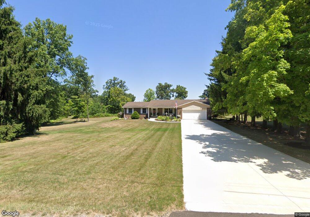
1717 T R 1714 Ashland, OH 44805
Estimated Value: $275,000 - $312,000
2
Beds
2
Baths
1,398
Sq Ft
$211/Sq Ft
Est. Value
About This Home
This home is located at 1717 T R 1714, Ashland, OH 44805 and is currently estimated at $294,403, approximately $210 per square foot. 1717 T R 1714 is a home located in Ashland County with nearby schools including Hillsdale Elementary School, Hillsdale Middle School, and Hillsdale High School.
Ownership History
Date
Name
Owned For
Owner Type
Purchase Details
Closed on
Dec 9, 2024
Sold by
Walton Ted and Walton Nancy
Bought by
Strouse Ty
Current Estimated Value
Home Financials for this Owner
Home Financials are based on the most recent Mortgage that was taken out on this home.
Original Mortgage
$268,375
Outstanding Balance
$266,264
Interest Rate
6.79%
Mortgage Type
New Conventional
Estimated Equity
$28,139
Purchase Details
Closed on
Mar 23, 2010
Sold by
Morris John R
Bought by
Walton Ted and Walton Nancy
Purchase Details
Closed on
Sep 26, 2006
Sold by
Durig Lori A
Bought by
Morris John R
Purchase Details
Closed on
Jan 30, 2002
Sold by
Payne Robert J
Bought by
Durig Lori A
Purchase Details
Closed on
Nov 25, 1994
Sold by
Sandor Albert W
Bought by
Payne Robert J
Create a Home Valuation Report for This Property
The Home Valuation Report is an in-depth analysis detailing your home's value as well as a comparison with similar homes in the area
Home Values in the Area
Average Home Value in this Area
Purchase History
| Date | Buyer | Sale Price | Title Company |
|---|---|---|---|
| Strouse Ty | $282,500 | Centennial Title Agency Llc | |
| Strouse Ty | $282,500 | Centennial Title Agency Llc | |
| Walton Ted | $120,000 | -- | |
| Morris John R | $106,000 | -- | |
| Durig Lori A | $125,000 | -- | |
| Payne Robert J | $8,500 | -- |
Source: Public Records
Mortgage History
| Date | Status | Borrower | Loan Amount |
|---|---|---|---|
| Open | Strouse Ty | $268,375 | |
| Closed | Strouse Ty | $268,375 |
Source: Public Records
Tax History Compared to Growth
Tax History
| Year | Tax Paid | Tax Assessment Tax Assessment Total Assessment is a certain percentage of the fair market value that is determined by local assessors to be the total taxable value of land and additions on the property. | Land | Improvement |
|---|---|---|---|---|
| 2024 | $1,785 | $62,930 | $10,250 | $52,680 |
| 2023 | $1,459 | $62,930 | $10,250 | $52,680 |
| 2022 | $1,459 | $43,400 | $7,070 | $36,330 |
| 2021 | $1,417 | $42,000 | $7,070 | $34,930 |
| 2020 | $1,314 | $42,000 | $7,070 | $34,930 |
| 2019 | $1,522 | $37,500 | $7,270 | $30,230 |
| 2018 | $1,471 | $37,500 | $7,270 | $30,230 |
| 2017 | $1,291 | $37,500 | $7,270 | $30,230 |
| 2016 | $1,291 | $32,610 | $6,320 | $26,290 |
| 2015 | $1,275 | $32,610 | $6,320 | $26,290 |
| 2013 | $1,310 | $31,150 | $6,470 | $24,680 |
Source: Public Records
Map
Nearby Homes
- 1653 State Route 60
- 1653 Ohio 60
- 0 Twp Rd 1806 Unit 11591470
- 1845 County Road 655
- 1690 County Road 995
- 1015 Township Road 1696
- 1457 Township Road 853
- 1581 County Road 995
- 1446 Township Road 805
- 1435 Township Road 853
- 977 Township Road 1514 Unit C
- 820 County Road 30a
- 150 E Main St
- 0 Eagle Way
- 1331 Eastern Ave
- 453 Hillcrest Dr
- 1109 Eastern Ave
- 1011 Eastern Ave
- 31 Morgan Ave
- 1706 Kingwood Ct
- 1717 Township Road 1714
- 1719 Township Road 1714
- 1715 T R 1714
- 1715 Township Road 1714
- 1711 T R 1714
- 1711 Township Road 1714
- 1711 Township Road 1714
- 1721 Township Road 1714
- 1711 1714
- 1720 T R 1714
- 1711 Sr 60
- 1720 Township Road 1714
- 1720 1714
- 1711 State Route 60
- 1711 Ohio 60
- 1705 State Route 60
- 1713 State Route 60
- 3 Township 1461 Rd
- 79 T R 1714
- 67 T R 1714