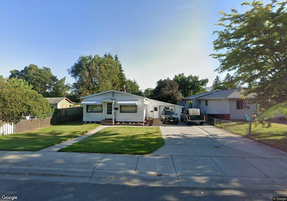
1718 Phillips St Missoula, MT 59802
Westside NeighborhoodEstimated Value: $462,000 - $511,000
3
Beds
2
Baths
897
Sq Ft
$533/Sq Ft
Est. Value
About This Home
This home is located at 1718 Phillips St, Missoula, MT 59802 and is currently estimated at $478,141, approximately $533 per square foot. 1718 Phillips St is a home located in Missoula County with nearby schools including Lowell School, Porter Middle School, and Hellgate High School.
Ownership History
Date
Name
Owned For
Owner Type
Purchase Details
Closed on
Apr 29, 2002
Sold by
Simdorn Iona D
Bought by
Murray Deborah and Cors Mary Ann
Current Estimated Value
Home Financials for this Owner
Home Financials are based on the most recent Mortgage that was taken out on this home.
Original Mortgage
$96,000
Outstanding Balance
$41,107
Interest Rate
7.13%
Estimated Equity
$437,034
Create a Home Valuation Report for This Property
The Home Valuation Report is an in-depth analysis detailing your home's value as well as a comparison with similar homes in the area
Home Values in the Area
Average Home Value in this Area
Purchase History
| Date | Buyer | Sale Price | Title Company |
|---|---|---|---|
| Murray Deborah | -- | -- |
Source: Public Records
Mortgage History
| Date | Status | Borrower | Loan Amount |
|---|---|---|---|
| Open | Murray Deborah | $96,000 |
Source: Public Records
Tax History Compared to Growth
Tax History
| Year | Tax Paid | Tax Assessment Tax Assessment Total Assessment is a certain percentage of the fair market value that is determined by local assessors to be the total taxable value of land and additions on the property. | Land | Improvement |
|---|---|---|---|---|
| 2025 | $4,273 | $438,500 | $233,220 | $205,280 |
| 2024 | $4,021 | $330,390 | $117,300 | $213,090 |
| 2023 | $3,948 | $330,390 | $117,300 | $213,090 |
| 2022 | $3,324 | $241,100 | $0 | $0 |
| 2021 | $2,929 | $241,100 | $0 | $0 |
| 2020 | $2,877 | $212,600 | $0 | $0 |
| 2019 | $2,893 | $212,600 | $0 | $0 |
| 2018 | $2,805 | $200,300 | $0 | $0 |
| 2017 | $2,400 | $200,300 | $0 | $0 |
| 2016 | $2,610 | $198,400 | $0 | $0 |
| 2015 | $2,424 | $198,400 | $0 | $0 |
| 2014 | $2,397 | $110,475 | $0 | $0 |
Source: Public Records
Map
Nearby Homes
- 1839 Sherwood St Unit 11
- 1725 Cooper St
- 1417 Sherwood St
- 1427 W Broadway St
- 1402 Defoe St
- 1700 Cooley St Unit 10
- 1950 W Broadway St
- 1138 Toole Ave
- 1010 W Pine St Unit 104
- 151 S Travois
- 8b Stoddard St
- 1259 Idaho St Unit B
- 1259 Idaho St Unit A
- 1019 Stoddard St
- 1005 Sherwood St
- 1273 B Idaho St Unit B
- 1273 B Idaho St Unit A
- 1245 Waverly St Unit 103
- 1245 Waverly St Unit 205
- 407 N Surrey St
- 1724 Phillips St
- 1710 Phillips St Unit B
- 1700 Phillips St
- 1732 Phillips St
- 1715 Howell St
- 1713 Howell St
- 1736 Phillips St
- 1701 Howell St
- 1717 Howell St
- 1707 Phillips St
- 1703 Phillips St
- 1721 Phillips St
- 1070 Byron St
- 1000 Burns St
- 1000,02 Burns
- 907 Burns St
- 1006 Burns St
- 1733 Phillips St
- 1739 Phillips St
- 1637 Howell St