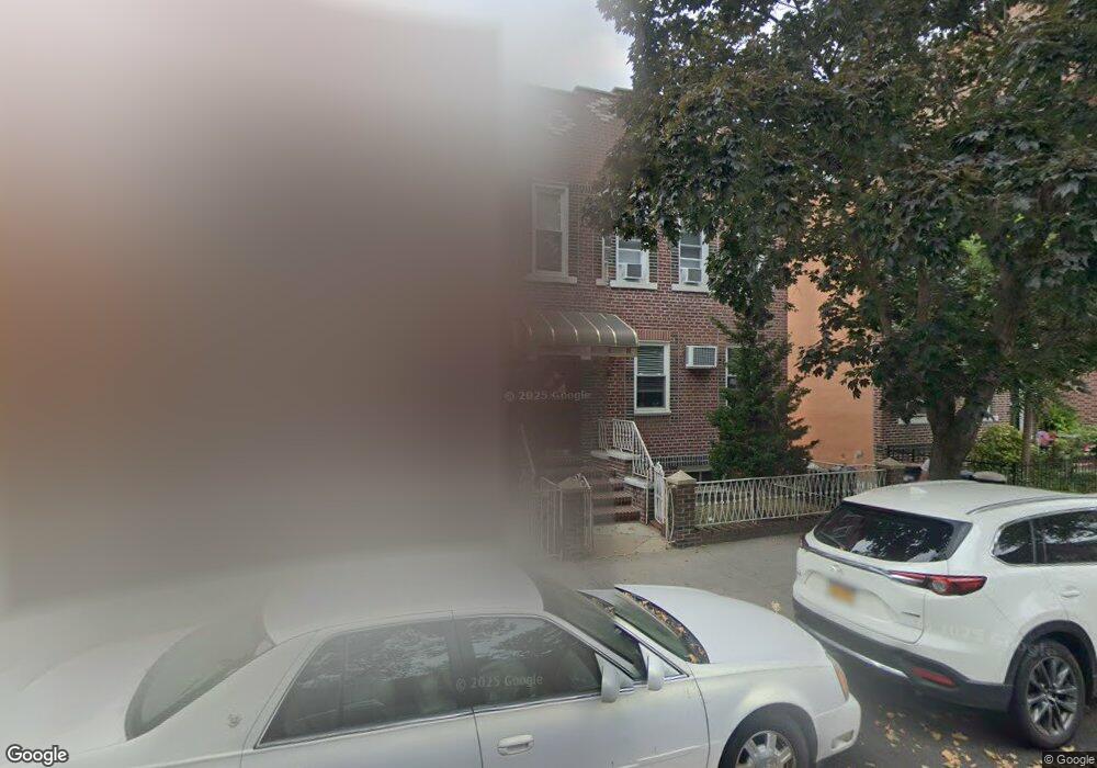
1718 W 1st St Brooklyn, NY 11223
Gravesend NeighborhoodEstimated Value: $1,468,000 - $1,923,000
--
Bed
--
Bath
3,520
Sq Ft
$479/Sq Ft
Est. Value
About This Home
This home is located at 1718 W 1st St, Brooklyn, NY 11223 and is currently estimated at $1,687,000, approximately $479 per square foot. 1718 W 1st St is a home located in Kings County with nearby schools including P.S.177 The Marlboro, Is 228 David A Boody, and Mirrer Yeshiva Educational Institute.
Ownership History
Date
Name
Owned For
Owner Type
Purchase Details
Closed on
May 29, 2014
Sold by
Casciano Grace
Bought by
Casciano Grace and Casciano Peter
Current Estimated Value
Create a Home Valuation Report for This Property
The Home Valuation Report is an in-depth analysis detailing your home's value as well as a comparison with similar homes in the area
Home Values in the Area
Average Home Value in this Area
Purchase History
| Date | Buyer | Sale Price | Title Company |
|---|---|---|---|
| Casciano Grace | -- | -- |
Source: Public Records
Tax History Compared to Growth
Tax History
| Year | Tax Paid | Tax Assessment Tax Assessment Total Assessment is a certain percentage of the fair market value that is determined by local assessors to be the total taxable value of land and additions on the property. | Land | Improvement |
|---|---|---|---|---|
| 2025 | $15,178 | $137,160 | $17,040 | $120,120 |
| 2024 | $15,178 | $117,180 | $17,040 | $100,140 |
| 2023 | $14,430 | $143,760 | $17,040 | $126,720 |
| 2022 | $13,325 | $131,040 | $17,040 | $114,000 |
| 2021 | $13,208 | $101,160 | $17,040 | $84,120 |
| 2020 | $13,286 | $101,220 | $17,040 | $84,180 |
| 2019 | $13,025 | $101,220 | $17,040 | $84,180 |
Source: Public Records
Map
Nearby Homes
- 1728 W 2nd St
- 379 Kings Hwy Unit 2A
- 431 Kings Hwy
- 1652 Dahill Rd
- 1640 W 1st St
- 412 Kings Hwy Unit 6C
- 355 Kings Hwy Unit 5C
- 340 Avenue P
- 1734 E 2nd St
- 380 Avenue P
- 1632 W 4th St
- 339 Avenue P Unit 2B
- 339 Avenue P Unit 2A
- 1806 McDonald Ave
- 1543 W 1st St Unit E8
- 1543 W 1st St Unit D1
- 1721 W 6th St Unit 2A
- 218 Highlawn Ave
- 1641 W 6th St
- 1560 W 2nd St
- 1718 W 1st St Unit 4
- 1720 W 1st St Unit 4
- 1714 W 1st St Unit 4
- 1724 W 1st St Unit 4
- 1726 W 1st St Unit 4
- 1702-1712 W 1st St
- 1715 W 2nd St
- 1719 W 2nd St
- 1713 W 2nd St
- 300 Quentin Rd
- 1730 W 1st St Unit 4
- 1721 W 2nd St
- 1725 W 2nd St
- 296 Quentin Rd
- 1732 W 1st St Unit 4
- 1731 W 2nd St
- 292 Quentin Rd
- 292 Quentin Rd Unit 2F
- 1727 W 2nd St
- 0 W 1st Unit 7608462-11354772