17187 County Road 7 NW Clearwater, MN 55320
Estimated Value: $382,000 - $576,503
3
Beds
2
Baths
1,387
Sq Ft
$359/Sq Ft
Est. Value
About This Home
This home is located at 17187 County Road 7 NW, Clearwater, MN 55320 and is currently estimated at $498,126, approximately $359 per square foot. 17187 County Road 7 NW is a home with nearby schools including Clearview Elementary School and South Junior High School.
Ownership History
Date
Name
Owned For
Owner Type
Purchase Details
Closed on
May 9, 2018
Sold by
Potter David Alan and Potter Kristy N
Bought by
Potter David Alan and Potter Kristy N
Current Estimated Value
Home Financials for this Owner
Home Financials are based on the most recent Mortgage that was taken out on this home.
Original Mortgage
$296,000
Interest Rate
4.4%
Mortgage Type
Commercial
Purchase Details
Closed on
Mar 24, 2014
Sold by
Potter Barbara J
Bought by
Potter David A
Create a Home Valuation Report for This Property
The Home Valuation Report is an in-depth analysis detailing your home's value as well as a comparison with similar homes in the area
Home Values in the Area
Average Home Value in this Area
Purchase History
| Date | Buyer | Sale Price | Title Company |
|---|---|---|---|
| Potter David Alan | -- | Heartland Title Llc | |
| Potter David Alan | $246,330 | Heartland Title Llc | |
| Potter David A | $246,331 | -- |
Source: Public Records
Mortgage History
| Date | Status | Borrower | Loan Amount |
|---|---|---|---|
| Closed | Potter David Alan | $296,000 | |
| Closed | Potter David A | -- |
Source: Public Records
Tax History Compared to Growth
Tax History
| Year | Tax Paid | Tax Assessment Tax Assessment Total Assessment is a certain percentage of the fair market value that is determined by local assessors to be the total taxable value of land and additions on the property. | Land | Improvement |
|---|---|---|---|---|
| 2025 | $2,772 | $551,600 | $232,800 | $318,800 |
| 2024 | $2,764 | $514,100 | $226,300 | $287,800 |
| 2023 | $2,560 | $514,600 | $227,400 | $287,200 |
| 2022 | $2,488 | $432,600 | $169,900 | $262,700 |
| 2021 | $2,410 | $373,900 | $144,000 | $229,900 |
| 2020 | $2,396 | $362,000 | $139,000 | $223,000 |
| 2019 | $2,304 | $124,200 | $0 | $0 |
| 2018 | $2,158 | $202,700 | $0 | $0 |
| 2017 | $2,874 | $314,700 | $0 | $0 |
| 2016 | $2,896 | $0 | $0 | $0 |
| 2015 | $1,802 | $0 | $0 | $0 |
| 2014 | -- | $0 | $0 | $0 |
Source: Public Records
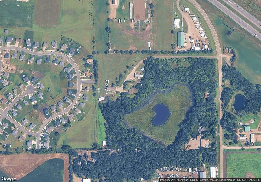
Map
Nearby Homes
- 830 10th St
- 615 Juliet Ave
- 680 8th St
- 535 10th St
- XXX Huber Ave NW
- 229 Goldfinch Ln
- 146 Bluebird Ln
- XX Xx Hwy 24
- 132 Goldfinch Ln
- 131 Goldfinch Ln
- 108 Goldfinch Ln
- 97 Goldfinch Ln
- 6099 106th St SE
- 440 Prairie St
- 440 Lime St
- TBD Bluff St
- 400 Prairie St
- 4XX Prairie St
- 18718 Driftwood Rd
- 16313 Gowan Ave NW
- 10XX Nicole Ave
- 1004 Nicole Ave
- 1006 Nicole Ave
- 890 10th St
- 1X0X Nicole Ave
- 1005 Nicole Ave
- 1001 Nicole Ave
- XX00 Nicole Ave
- 1016 Nicole Ave
- 9X3 Nicole Ave
- 9X7 Nicole Ave
- XX12 10th St
- 1020 Nicole Ave
- 1XX0 Nicole Ave
- XXX8 10th St
- 1XX4 Nicole Ave
- 870 10th St
- 1024 Nicole Ave
- XXX4 10th St
- 17109 County Road 7 NW