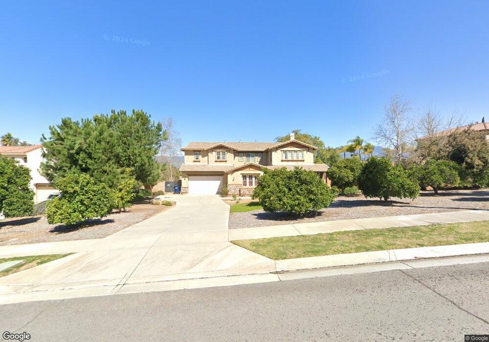
1719 6th Ave Redlands, CA 92374
South Redlands NeighborhoodEstimated Value: $910,000 - $1,461,814
5
Beds
5
Baths
4,335
Sq Ft
$273/Sq Ft
Est. Value
About This Home
This home is located at 1719 6th Ave, Redlands, CA 92374 and is currently estimated at $1,184,204, approximately $273 per square foot. 1719 6th Ave is a home located in San Bernardino County with nearby schools including Crafton Elementary School, Moore Middle School, and Redlands East Valley High School.
Ownership History
Date
Name
Owned For
Owner Type
Purchase Details
Closed on
Jan 19, 2022
Sold by
Earl Kawaii Derek
Bought by
Kawah Elaine Adan
Current Estimated Value
Home Financials for this Owner
Home Financials are based on the most recent Mortgage that was taken out on this home.
Original Mortgage
$752,000
Interest Rate
3.45%
Mortgage Type
New Conventional
Purchase Details
Closed on
Oct 13, 2005
Sold by
Centex Homes
Bought by
Kawaii Derek Earl and Kawaii Elaine Adan
Home Financials for this Owner
Home Financials are based on the most recent Mortgage that was taken out on this home.
Original Mortgage
$686,600
Interest Rate
5.74%
Mortgage Type
Fannie Mae Freddie Mac
Create a Home Valuation Report for This Property
The Home Valuation Report is an in-depth analysis detailing your home's value as well as a comparison with similar homes in the area
Home Values in the Area
Average Home Value in this Area
Purchase History
| Date | Buyer | Sale Price | Title Company |
|---|---|---|---|
| Kawah Elaine Adan | -- | First American Title | |
| Kawaii Derek Earl | $858,500 | Commerce Title Company |
Source: Public Records
Mortgage History
| Date | Status | Borrower | Loan Amount |
|---|---|---|---|
| Closed | Kawah Elaine Adan | $752,000 | |
| Previous Owner | Kawaii Derek Earl | $686,600 |
Source: Public Records
Tax History
| Year | Tax Paid | Tax Assessment Tax Assessment Total Assessment is a certain percentage of the fair market value that is determined by local assessors to be the total taxable value of land and additions on the property. | Land | Improvement |
|---|---|---|---|---|
| 2025 | $16,327 | $1,172,921 | $204,988 | $967,933 |
| 2024 | $15,331 | $1,149,923 | $200,969 | $948,954 |
| 2023 | $15,251 | $1,127,375 | $197,028 | $930,347 |
| 2022 | $14,788 | $1,105,270 | $193,165 | $912,105 |
| 2021 | $14,511 | $1,046,600 | $314,000 | $732,600 |
| 2020 | $13,776 | $996,600 | $299,300 | $697,300 |
| 2019 | $13,278 | $967,600 | $290,600 | $677,000 |
| 2018 | $13,154 | $967,600 | $290,600 | $677,000 |
| 2017 | $12,815 | $934,900 | $280,800 | $654,100 |
| 2016 | $12,304 | $873,700 | $262,400 | $611,300 |
| 2015 | $11,803 | $809,000 | $243,000 | $566,000 |
| 2014 | $10,833 | $731,000 | $219,000 | $512,000 |
Source: Public Records
Map
Nearby Homes
- 707 S Wabash Ave
- 1550 Marion Rd
- 743 Buckingham Dr
- 1665 Wabash Ave
- 1410 Pleasantview Dr
- 1472 Moore St
- 1458 Moore St
- 1452 Moore St
- 1479 Moore St
- 1442 Moore St
- 61 Sparrow Ct
- 1454 E Highland Ave
- 56 Dearborn Cir
- 1562 E Citrus Ave
- 1592 Christopher Ln
- 1575 Christopher Ln
- 1388 Brandon Ct
- 1580 Lisa Ln
- 225 Sunset Dr
- 505 E Sunset Dr N
- 1729 6th Ave
- 1709 6th Ave
- 580 Shadowbrook Ct
- 590 Shadowbrook Ct
- 1739 6th Ave
- 561 S La Salle St
- 570 Shadowbrook Ct
- 587 Shadowbrook Ct
- 1749 6th Ave
- 541 S La Salle St
- 550 Shadowbrook Ct
- 567 Shadowbrook Ct
- 521 S La Salle St
- 547 Shadowbrook Ct
- 580 Starlight Ct
- 520 Shadowbrook Ct
- 1763 6th Ave
- 560 Starlight Ct
- 527 Shadowbrook Ct
- 550 S La Salle St
Your Personal Tour Guide
Ask me questions while you tour the home.