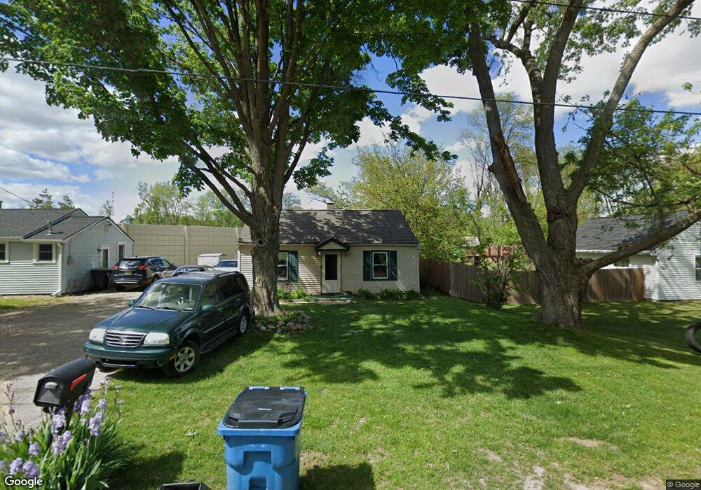
1719 Byrd Dr Portage, MI 49002
Estimated Value: $175,000 - $200,000
3
Beds
1
Bath
840
Sq Ft
$222/Sq Ft
Est. Value
About This Home
This home is located at 1719 Byrd Dr, Portage, MI 49002 and is currently estimated at $186,069, approximately $221 per square foot. 1719 Byrd Dr is a home located in Kalamazoo County with nearby schools including Angling Road Elementary School, Portage North Middle School, and Portage Northern High School.
Ownership History
Date
Name
Owned For
Owner Type
Purchase Details
Closed on
Feb 4, 2010
Sold by
Corrie Mary
Bought by
Federal National Mortgage Association
Current Estimated Value
Purchase Details
Closed on
Mar 24, 2004
Sold by
Glascott Scott
Bought by
Corrie Mary
Home Financials for this Owner
Home Financials are based on the most recent Mortgage that was taken out on this home.
Original Mortgage
$82,450
Interest Rate
5.66%
Mortgage Type
Purchase Money Mortgage
Purchase Details
Closed on
May 12, 2003
Sold by
Crawford Robert I and Crawford Diana M
Bought by
Glascott Scott and Byrd 1719 Land Trust
Create a Home Valuation Report for This Property
The Home Valuation Report is an in-depth analysis detailing your home's value as well as a comparison with similar homes in the area
Home Values in the Area
Average Home Value in this Area
Purchase History
| Date | Buyer | Sale Price | Title Company |
|---|---|---|---|
| Federal National Mortgage Association | $91,358 | None Available | |
| Corrie Mary | $85,000 | Title Bond | |
| Glascott Scott | -- | Title Bond | |
| Glascott Scott | -- | Title Bond | |
| Glascott Scott | -- | -- |
Source: Public Records
Mortgage History
| Date | Status | Borrower | Loan Amount |
|---|---|---|---|
| Previous Owner | Corrie Mary | $82,450 |
Source: Public Records
Tax History Compared to Growth
Tax History
| Year | Tax Paid | Tax Assessment Tax Assessment Total Assessment is a certain percentage of the fair market value that is determined by local assessors to be the total taxable value of land and additions on the property. | Land | Improvement |
|---|---|---|---|---|
| 2025 | $2,779 | $74,500 | $0 | $0 |
| 2024 | $2,540 | $65,200 | $0 | $0 |
| 2023 | $2,421 | $56,700 | $0 | $0 |
| 2022 | $2,520 | $53,800 | $0 | $0 |
| 2021 | $2,437 | $49,800 | $0 | $0 |
| 2020 | $2,389 | $48,100 | $0 | $0 |
| 2019 | $154 | $45,000 | $0 | $0 |
| 2018 | $0 | $38,600 | $0 | $0 |
| 2017 | $0 | $39,000 | $0 | $0 |
| 2016 | -- | $39,900 | $0 | $0 |
| 2015 | -- | $37,200 | $0 | $0 |
| 2014 | -- | $34,800 | $0 | $0 |
Source: Public Records
Map
Nearby Homes
- 2005 Helen Ave
- 2212 Helen Ave
- 2314 Fairfield Rd
- 5445 Lovers Ln
- 5118 Midfield Dr
- 5125 Brennerton Dr
- 5418 Circlewood Dr W
- 828 Lakeway Ave
- 1833 Bloomfield Ave
- 421 Sunview Ave
- 41 Blanche Ave
- 49 Blanche Ave
- 3828 Dale St
- 126 Blanche Ave
- 229 Tamarix Ave
- 1829 Banbury Rd
- 3831 Portage St
- 218 Amos Ave
- 717 Royce Ave
- 5824 Concord St