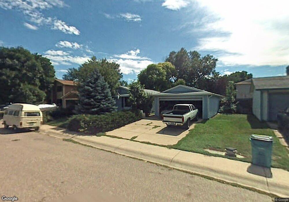
1719 Effingham St Fort Collins, CO 80526
Rossborough NeighborhoodEstimated Value: $412,000 - $461,000
3
Beds
1
Bath
960
Sq Ft
$457/Sq Ft
Est. Value
About This Home
This home is located at 1719 Effingham St, Fort Collins, CO 80526 and is currently estimated at $438,571, approximately $456 per square foot. 1719 Effingham St is a home located in Larimer County with nearby schools including Johnson Elementary School, Webber Middle School, and Rocky Mountain High School.
Ownership History
Date
Name
Owned For
Owner Type
Purchase Details
Closed on
Feb 27, 2008
Sold by
Dietemann David L and Dietemann Patricia A
Bought by
The Patricia A Dietemann Revocable Trust
Current Estimated Value
Purchase Details
Closed on
Jan 1, 1994
Sold by
Krueger Laura A
Bought by
Dietemann David L
Purchase Details
Closed on
Jun 1, 1992
Sold by
Conrad Christopher Paul By Aif
Bought by
Krueger Laura A
Create a Home Valuation Report for This Property
The Home Valuation Report is an in-depth analysis detailing your home's value as well as a comparison with similar homes in the area
Home Values in the Area
Average Home Value in this Area
Purchase History
| Date | Buyer | Sale Price | Title Company |
|---|---|---|---|
| The Patricia A Dietemann Revocable Trust | -- | None Available | |
| Dietemann David L | $87,500 | -- | |
| Krueger Laura A | $66,500 | -- |
Source: Public Records
Tax History Compared to Growth
Tax History
| Year | Tax Paid | Tax Assessment Tax Assessment Total Assessment is a certain percentage of the fair market value that is determined by local assessors to be the total taxable value of land and additions on the property. | Land | Improvement |
|---|---|---|---|---|
| 2025 | $2,421 | $28,917 | $2,680 | $26,237 |
| 2024 | $2,304 | $28,917 | $2,680 | $26,237 |
| 2022 | $1,982 | $20,989 | $2,780 | $18,209 |
| 2021 | $2,003 | $21,593 | $2,860 | $18,733 |
| 2020 | $2,059 | $22,008 | $2,860 | $19,148 |
| 2019 | $2,068 | $22,008 | $2,860 | $19,148 |
| 2018 | $1,713 | $18,799 | $2,880 | $15,919 |
| 2017 | $1,707 | $18,799 | $2,880 | $15,919 |
| 2016 | $1,439 | $15,761 | $3,184 | $12,577 |
| 2015 | $1,428 | $15,760 | $3,180 | $12,580 |
| 2014 | $1,279 | $14,020 | $3,180 | $10,840 |
Source: Public Records
Map
Nearby Homes
- 3136 Birmingham Dr
- 1601 W Swallow Rd Unit 9E
- 1601 W Swallow Rd Unit 1
- 1601 W Swallow Rd
- 1531 W Swallow Rd Unit 25
- 2855 Trenton Way
- 3366 Liverpool St
- 1819 Birmingham Dr
- 2025 Cheshire St
- 2918 Silverplume Dr Unit C1
- 1431 Clementine Ct
- 1401 Sioux Blvd
- 1631 Enfield St
- 2006 Bronson St
- 2718 Dunbar Ave
- 2 County Road 19
- 2706 Dunbar Ave
- 3502 Big Ben Dr Unit C
- 3360 Dudley Way
- 2828 Silverplume Dr
- 1725 Effingham St
- 1713 Effingham St
- 1712 Bedford Cir
- 1716 Bedford Cir
- 1708 Bedford Cir
- 1731 Effingham St
- 1707 Effingham St
- 1718 Effingham St
- 1724 Effingham St
- 1720 Bedford Cir
- 1712 Effingham St
- 1704 Bedford Cir
- 1737 Effingham St
- 1730 Effingham St
- 1706 Effingham St
- 1701 Effingham St
- 1724 Bedford Cir
- 1736 Effingham St
- 1743 Effingham St
- 1700 Effingham St