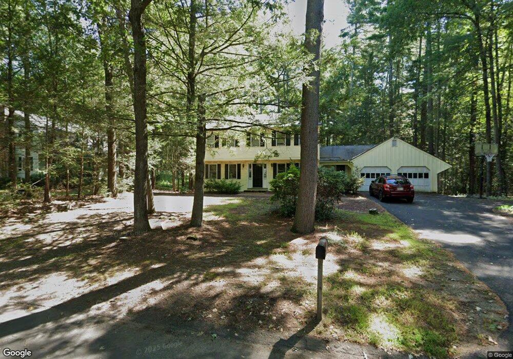
172 Aubinwood Rd Amherst, MA 01002
Estimated Value: $577,000 - $635,000
4
Beds
3
Baths
1,820
Sq Ft
$326/Sq Ft
Est. Value
About This Home
This home is located at 172 Aubinwood Rd, Amherst, MA 01002 and is currently estimated at $593,702, approximately $326 per square foot. 172 Aubinwood Rd is a home located in Hampshire County with nearby schools including Fort River Elementary School, Amherst Regional Middle School, and Amherst Regional High School.
Ownership History
Date
Name
Owned For
Owner Type
Purchase Details
Closed on
Sep 14, 1999
Sold by
Shelby Shirley L
Bought by
Findlen Barbara J and Golden Kristen A
Current Estimated Value
Home Financials for this Owner
Home Financials are based on the most recent Mortgage that was taken out on this home.
Original Mortgage
$189,900
Interest Rate
7.65%
Mortgage Type
Purchase Money Mortgage
Create a Home Valuation Report for This Property
The Home Valuation Report is an in-depth analysis detailing your home's value as well as a comparison with similar homes in the area
Home Values in the Area
Average Home Value in this Area
Purchase History
| Date | Buyer | Sale Price | Title Company |
|---|---|---|---|
| Findlen Barbara J | $215,000 | -- |
Source: Public Records
Mortgage History
| Date | Status | Borrower | Loan Amount |
|---|---|---|---|
| Open | Findlen Barbara J | $170,500 | |
| Closed | Findlen Barbara J | $20,000 | |
| Closed | Findlen Barbara J | $185,000 | |
| Closed | Findlen Barbara J | $189,900 |
Source: Public Records
Tax History Compared to Growth
Tax History
| Year | Tax Paid | Tax Assessment Tax Assessment Total Assessment is a certain percentage of the fair market value that is determined by local assessors to be the total taxable value of land and additions on the property. | Land | Improvement |
|---|---|---|---|---|
| 2025 | $88 | $488,700 | $207,200 | $281,500 |
| 2024 | $8,583 | $463,700 | $195,600 | $268,100 |
| 2023 | $8,333 | $414,600 | $178,000 | $236,600 |
| 2022 | $8,036 | $377,800 | $161,700 | $216,100 |
| 2021 | $7,654 | $350,800 | $149,800 | $201,000 |
| 2020 | $7,409 | $347,500 | $149,800 | $197,700 |
| 2019 | $7,205 | $330,500 | $149,800 | $180,700 |
| 2018 | $6,987 | $330,500 | $149,800 | $180,700 |
| 2017 | $7,075 | $324,100 | $142,800 | $181,300 |
| 2016 | $6,877 | $324,100 | $142,800 | $181,300 |
| 2015 | $6,657 | $324,100 | $142,800 | $181,300 |
Source: Public Records
Map
Nearby Homes
- 14 Pebble Ridge Rd
- 61 S Valley Rd
- 0 Heatherstone Rd
- 9 Harkness Rd
- 96 Logtown Rd
- 265 Stanley St
- 41 Arnold Rd
- 57 Tanglewood Rd
- 53 Pine Grove Unit 53
- 481 Old Farm Rd
- 130 Linden Ridge Rd
- 100 Larkspur Dr
- 305 Strong St
- 48 Gray St
- 0 Red Gate Ln Unit 73348273
- 161 Chestnut St
- Lot B-2 N Gulf Rd
- 112 North St
- 9 Bray Ct
- 18 N Prospect St
- 164 Aubinwood Rd
- 180 Aubinwood Rd
- 156 Aubinwood Rd
- 14 Ash Ln
- 181 Aubinwood Rd
- 157 Aubinwood Rd
- 196 Aubinwood Rd
- 195 Aubinwood Rd
- 148 Aubinwood Rd
- 149 Aubinwood Rd
- 23 Ash Ln
- 15 Ash Ln
- 205 Aubinwood Rd
- 140 Aubinwood Rd
- 55 Harkness Rd
- 141 Aubinwood Rd
- 57 Harkness Rd
- 204 Aubinwood Rd
- 53 Harkness Rd
- 132 Aubinwood Rd