172 Persimmon Ln Madison, MS 39110
Estimated Value: $369,000 - $1,155,000
4
Beds
2
Baths
2,502
Sq Ft
$246/Sq Ft
Est. Value
About This Home
This home is located at 172 Persimmon Ln, Madison, MS 39110 and is currently estimated at $616,519, approximately $246 per square foot. 172 Persimmon Ln is a home located in Madison County with nearby schools including Canton High School.
Ownership History
Date
Name
Owned For
Owner Type
Purchase Details
Closed on
May 13, 2021
Sold by
Deddens John A and Deddens John Anthony
Bought by
Deddens Lesley Warwick and Deddens John Anthony
Current Estimated Value
Home Financials for this Owner
Home Financials are based on the most recent Mortgage that was taken out on this home.
Original Mortgage
$422,206
Outstanding Balance
$381,810
Interest Rate
3.1%
Mortgage Type
New Conventional
Estimated Equity
$234,709
Purchase Details
Closed on
Feb 16, 2001
Sold by
Byram Michelle M and Bryan Michele M
Bought by
Deddens John A
Create a Home Valuation Report for This Property
The Home Valuation Report is an in-depth analysis detailing your home's value as well as a comparison with similar homes in the area
Home Values in the Area
Average Home Value in this Area
Purchase History
| Date | Buyer | Sale Price | Title Company |
|---|---|---|---|
| Deddens Lesley Warwick | -- | Westcor Land Title Ins Co | |
| Anthony Debbens John | -- | Land Title | |
| Deddens John A | -- | None Available |
Source: Public Records
Mortgage History
| Date | Status | Borrower | Loan Amount |
|---|---|---|---|
| Open | Anthony Debbens John | $422,206 | |
| Closed | Anthony Debbens John | $422,206 |
Source: Public Records
Tax History Compared to Growth
Tax History
| Year | Tax Paid | Tax Assessment Tax Assessment Total Assessment is a certain percentage of the fair market value that is determined by local assessors to be the total taxable value of land and additions on the property. | Land | Improvement |
|---|---|---|---|---|
| 2025 | $2,006 | $21,691 | $0 | $0 |
| 2024 | $2,006 | $21,691 | $0 | $0 |
| 2023 | $1,990 | $21,693 | $0 | $0 |
| 2022 | $1,990 | $21,694 | $0 | $0 |
| 2021 | $1,722 | $20,854 | $0 | $0 |
| 2020 | $1,886 | $20,855 | $0 | $0 |
| 2019 | $1,886 | $20,857 | $0 | $0 |
| 2018 | $1,886 | $20,858 | $0 | $0 |
| 2017 | $1,851 | $20,520 | $0 | $0 |
| 2016 | $2,020 | $22,476 | $0 | $0 |
| 2015 | $1,930 | $22,476 | $0 | $0 |
| 2014 | $1,699 | $22,476 | $0 | $0 |
Source: Public Records
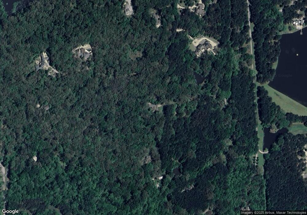
Map
Nearby Homes
- 100 Stonebridge Dr
- 3 Somerset Dr Unit 3
- 3 Somerset Dr Unit LOT 3
- 3 Stratford Place
- 104 Chamberlin Ct
- 18-4 Chamberlin Ct Unit 18-4
- 41 Peninsula Dr
- 102 Heron's Bay Cir
- 107 Martinique Dr
- 54 Windermere Blvd
- 118 Grayson Way
- 124 Saint Croix Ln
- 114 Grayson Way
- 66 Chestnut Spring Rd
- 119 Saint Lucia Dr
- 116 Springs Crossing
- 113 Harbor View Dr
- 107 Chestnut Hill Rd
- 123 Harbor View Dr
- 100 Grayson Way
- 0 Noah''S Mill Rd Unit Lot 11 1198674
- 0 Noah''S Mill Rd Unit LOT 1 1187390
- 0 Noah''S Mill Rd Unit 1 1286669
- 0 Noah''S Mill Rd Unit Lot 11 1197515
- 0 Noah''S Mill Rd Unit lot 4 1164027
- 0 Noah''S Mill Rd Unit LOT 4 1191504
- 0 Noah''S Mill Rd Unit 1234185
- 220 Persimmon Ln
- 11 Noah''S Mill Rd Unit PT 10B
- 10 Noah''S Mill Rd Unit PT 10
- 11 Noah''S Mill Rd
- 10 Noah''S Mill Rd
- 140 Noah''S Mill Rd
- 120 Noah's Mill Rd
- 120 Noahs Mill Rd
- 120 Noah's Mill Rd Unit B
- 120 Noahs Mill Rd
- 120 Noah''S Mill Rd
- 120 Noah''S Mill Rd
- 110 Noahs Mill Rd Unit 5