172 Pine St N Bristol, NH 03222
Estimated Value: $884,000 - $1,632,000
3
Beds
2
Baths
3,433
Sq Ft
$356/Sq Ft
Est. Value
About This Home
This home is located at 172 Pine St N, Bristol, NH 03222 and is currently estimated at $1,223,297, approximately $356 per square foot. 172 Pine St N is a home with nearby schools including Bridgewater-Hebron Village School.
Ownership History
Date
Name
Owned For
Owner Type
Purchase Details
Closed on
Sep 28, 2004
Sold by
Farrar William T
Bought by
Sullivan William J and Sullivan Susan C
Current Estimated Value
Home Financials for this Owner
Home Financials are based on the most recent Mortgage that was taken out on this home.
Original Mortgage
$160,000
Outstanding Balance
$79,877
Interest Rate
5.89%
Mortgage Type
Purchase Money Mortgage
Estimated Equity
$1,143,420
Create a Home Valuation Report for This Property
The Home Valuation Report is an in-depth analysis detailing your home's value as well as a comparison with similar homes in the area
Home Values in the Area
Average Home Value in this Area
Purchase History
| Date | Buyer | Sale Price | Title Company |
|---|---|---|---|
| Sullivan William J | $200,000 | -- | |
| Sullivan William J | $200,000 | -- |
Source: Public Records
Mortgage History
| Date | Status | Borrower | Loan Amount |
|---|---|---|---|
| Open | Sullivan William J | $160,000 | |
| Closed | Sullivan William J | $160,000 |
Source: Public Records
Tax History Compared to Growth
Tax History
| Year | Tax Paid | Tax Assessment Tax Assessment Total Assessment is a certain percentage of the fair market value that is determined by local assessors to be the total taxable value of land and additions on the property. | Land | Improvement |
|---|---|---|---|---|
| 2024 | $4,961 | $918,700 | $236,300 | $682,400 |
| 2023 | $1,622 | $201,200 | $132,300 | $68,900 |
| 2022 | $1,662 | $201,200 | $132,300 | $68,900 |
| 2021 | $1,664 | $201,200 | $132,300 | $68,900 |
| 2020 | $1,686 | $201,200 | $132,300 | $68,900 |
| 2019 | $1,688 | $173,000 | $100,300 | $72,700 |
| 2018 | $1,640 | $173,000 | $100,300 | $72,700 |
| 2017 | $1,664 | $173,000 | $100,300 | $72,700 |
| 2016 | $1,631 | $173,000 | $100,300 | $72,700 |
| 2015 | $1,787 | $183,700 | $111,700 | $72,000 |
| 2014 | $1,714 | $183,700 | $111,700 | $72,000 |
Source: Public Records
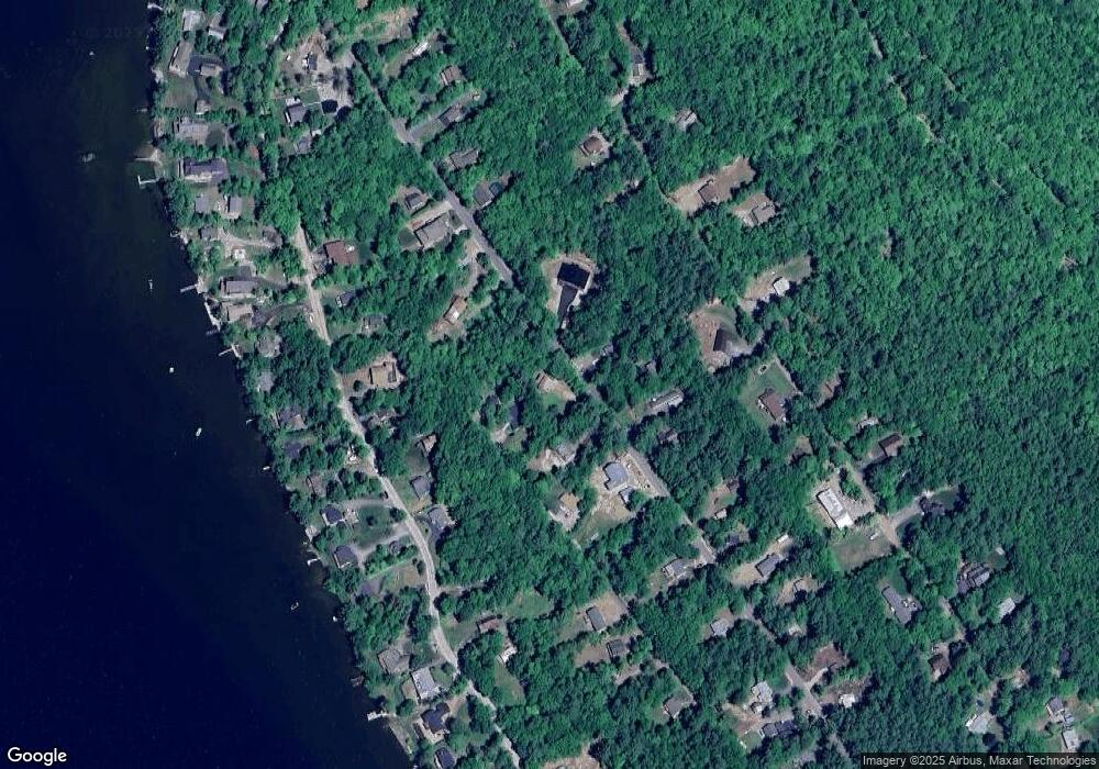
Map
Nearby Homes
- 862 Mayhew Turnpike Unit 1
- 199 Cottage City Rd
- 114 Ledgewood Terrace
- 383 Wulamat Rd
- 40 Adams Rd
- 497 W Shore Rd
- 4 Birchwood Dr Unit A
- 00 Ledgewood Cir Unit 7
- 35 Manor Estates Dr Unit 14
- 26 Don Gerry Rd
- 10 Merrill Rd
- 94 Mandi Ln
- 125 Verrill Rd
- 341 Perkins Hill Rd
- Lot 26 Skyline Dr
- 301 Perkins Hill Rd
- 0 Skyline Dr Unit 19
- Lot 7 Hall Rd
- Lots 1 & 2 Hall Rd
- 29 Daniels Rd