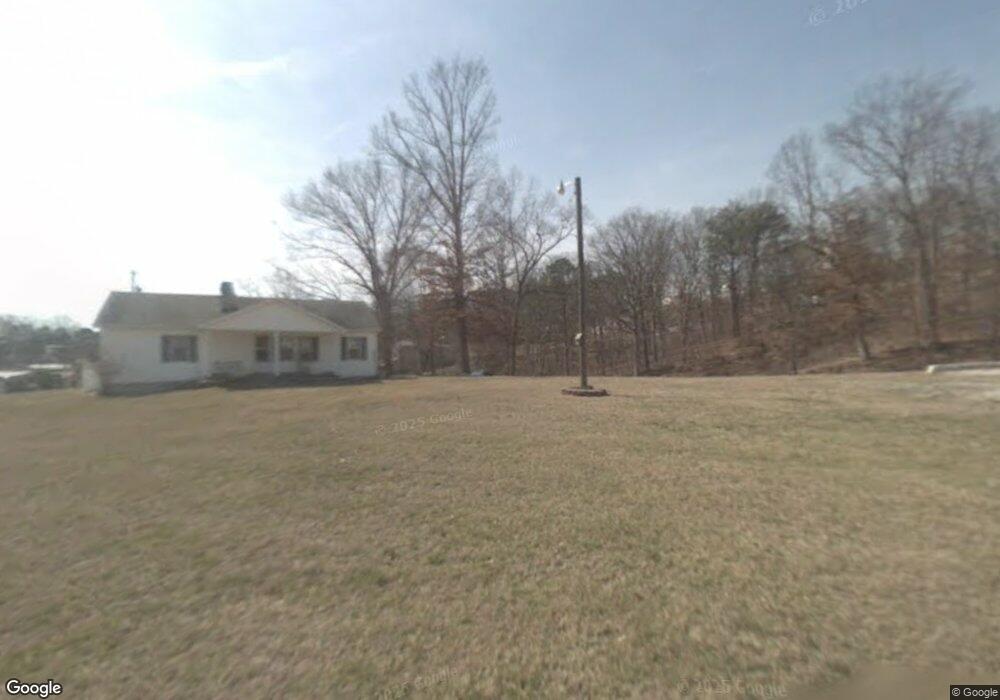
172 Sunnyside Ln Bean Station, TN 37708
Estimated Value: $262,000 - $486,000
--
Bed
--
Bath
1,683
Sq Ft
$232/Sq Ft
Est. Value
About This Home
This home is located at 172 Sunnyside Ln, Bean Station, TN 37708 and is currently estimated at $389,855, approximately $231 per square foot. 172 Sunnyside Ln is a home with nearby schools including Bean Station Elementary School, Rutledge Middle School, and Grainger High School.
Ownership History
Date
Name
Owned For
Owner Type
Purchase Details
Closed on
Dec 13, 2002
Sold by
Johnson Fleetwood
Bought by
Lilley Ronia
Current Estimated Value
Purchase Details
Closed on
Dec 12, 1997
Bought by
Fannin Mitchell
Purchase Details
Closed on
May 4, 1996
Sold by
Mccoy Gary and Mccoy Mary Lou
Bought by
Ratliff Charles W
Purchase Details
Closed on
Dec 5, 1994
Sold by
Buell Steve
Bought by
Mccoy Gary
Purchase Details
Closed on
Jul 14, 1993
Bought by
Buell Steve
Create a Home Valuation Report for This Property
The Home Valuation Report is an in-depth analysis detailing your home's value as well as a comparison with similar homes in the area
Home Values in the Area
Average Home Value in this Area
Purchase History
| Date | Buyer | Sale Price | Title Company |
|---|---|---|---|
| Lilley Ronia | $147,000 | -- | |
| Fannin Mitchell | $10,000 | -- | |
| Ratliff Charles W | $7,000 | -- | |
| Mccoy Gary | $55,000 | -- | |
| Buell Steve | $35,000 | -- |
Source: Public Records
Tax History Compared to Growth
Tax History
| Year | Tax Paid | Tax Assessment Tax Assessment Total Assessment is a certain percentage of the fair market value that is determined by local assessors to be the total taxable value of land and additions on the property. | Land | Improvement |
|---|---|---|---|---|
| 2025 | $1,268 | $55,425 | $0 | $0 |
| 2024 | $1,268 | $53,975 | $19,325 | $34,650 |
| 2023 | $1,268 | $53,975 | $19,325 | $34,650 |
| 2022 | $1,240 | $53,975 | $19,325 | $34,650 |
| 2021 | $1,240 | $53,975 | $19,325 | $34,650 |
| 2020 | $1,361 | $53,975 | $19,325 | $34,650 |
| 2019 | $1,361 | $48,600 | $19,325 | $29,275 |
| 2018 | $1,176 | $48,600 | $19,325 | $29,275 |
| 2017 | $1,176 | $48,600 | $19,325 | $29,275 |
| 2016 | $1,176 | $48,600 | $19,325 | $29,275 |
| 2015 | $1,079 | $48,600 | $19,325 | $29,275 |
| 2014 | $1,079 | $43,150 | $0 | $0 |
Source: Public Records
Map
Nearby Homes
- 4066 Lakeshore Dr
- 1607 Tater Hill Rd
- 1793 Cherokee Dr
- 424 Sandpiper Ln
- 222 Sandpiper Ln
- 112 Sandpiper Ln
- 141 Twin Church Rd
- 6031 Lakeshore Dr
- 2515 Lakeshore Rd
- TBD Rhondas Way
- 840 Gilmore Rd
- 270 Linda Cir
- 0 Rhondas Way
- 164 Logans Bluff
- Lot 39 Logans Bluff
- 329 Simpson Ln
- 0 Paradise Mountain Ln Unit 1314541
- Lot 11 Shields Crossing Dr
- 329 Shady Glen Ln
- 199 Honey Creek Ln
- 137 Sunnyside Ln
- 270 Sunnyside Ln
- 4519 Lakeshore Dr
- 4411 Lakeshore Dr
- 445 Sunnyside Ln
- 4486 Lakeshore Dr
- 489 Sunnyside Ln
- 4539 Lakeshore Dr
- 4514 Lakeshore Dr
- 4452 Lakeshore Dr
- 383 Sunnyside Ln
- 4400 Lakeshore Dr
- 4400 Lakeshore Dr
- 2 Tate Rd
- 4561 Lakeshore Dr
- 4550 Lakeshore Dr
- 229 Tate Rd
- 4592 Lakeshore Dr
- 131 Tate Rd
- 4565 Lakeshore Dr