172 the Branches Kittanning, PA 16201
North Buffalo Township NeighborhoodEstimated Value: $388,000 - $655,791
7
Beds
5
Baths
9,811
Sq Ft
$52/Sq Ft
Est. Value
About This Home
This home is located at 172 the Branches, Kittanning, PA 16201 and is currently estimated at $514,948, approximately $52 per square foot. 172 the Branches is a home with nearby schools including West Hills Intermediate School, West Hills Primary School, and Grace Christian School.
Ownership History
Date
Name
Owned For
Owner Type
Purchase Details
Closed on
Sep 26, 2013
Sold by
First Commonwealth Bank
Bought by
Johns Charlotte R and Johns Russell D
Current Estimated Value
Home Financials for this Owner
Home Financials are based on the most recent Mortgage that was taken out on this home.
Original Mortgage
$202,275
Outstanding Balance
$151,521
Interest Rate
4.42%
Mortgage Type
Purchase Money Mortgage
Estimated Equity
$363,427
Purchase Details
Closed on
Dec 12, 2012
Sold by
Vega Rogelio E and Vega Rose Marie
Bought by
First Commonwealth Bank
Create a Home Valuation Report for This Property
The Home Valuation Report is an in-depth analysis detailing your home's value as well as a comparison with similar homes in the area
Home Values in the Area
Average Home Value in this Area
Purchase History
| Date | Buyer | Sale Price | Title Company |
|---|---|---|---|
| Johns Charlotte R | $225,000 | None Available | |
| First Commonwealth Bank | $52,479 | None Available |
Source: Public Records
Mortgage History
| Date | Status | Borrower | Loan Amount |
|---|---|---|---|
| Open | Johns Charlotte R | $202,275 |
Source: Public Records
Tax History Compared to Growth
Tax History
| Year | Tax Paid | Tax Assessment Tax Assessment Total Assessment is a certain percentage of the fair market value that is determined by local assessors to be the total taxable value of land and additions on the property. | Land | Improvement |
|---|---|---|---|---|
| 2025 | $14,617 | $164,500 | $94,500 | $70,000 |
| 2024 | $13,794 | $164,500 | $94,500 | $70,000 |
| 2023 | $11,320 | $164,500 | $94,500 | $70,000 |
| 2022 | $11,320 | $164,500 | $94,500 | $70,000 |
| 2021 | $11,185 | $164,500 | $94,500 | $70,000 |
| 2020 | $11,185 | $164,500 | $94,500 | $70,000 |
| 2019 | $11,185 | $164,500 | $94,500 | $70,000 |
| 2018 | $11,206 | $135,000 | $35,000 | $100,000 |
| 2017 | $11,124 | $164,500 | $94,500 | $70,000 |
| 2016 | $11,124 | $164,500 | $94,500 | $70,000 |
| 2015 | $16,947 | $164,500 | $94,500 | $70,000 |
| 2014 | $16,947 | $164,500 | $94,500 | $70,000 |
Source: Public Records
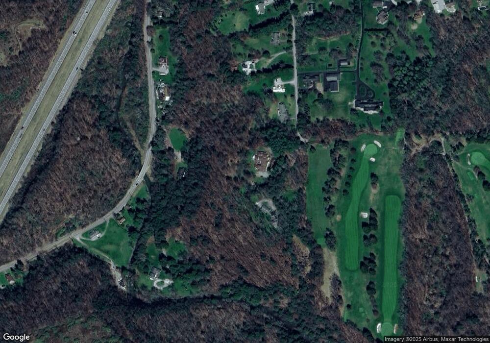
Map
Nearby Homes
- 1039 Glade Park E
- 1801 Freeport Rd
- 217 Briar Hill Rd
- 208 Briar Hill Rd
- 0 Wible Rd
- 514 Southern Ave
- 228 Arthur St
- 724 Butler Rd
- 728 Ferne Dr
- 536 1/2 Butler Rd
- 418 Pine Hill Rd
- 226 Ridge Ave
- 238 Allegheny Ave
- 349 Franklin Ave
- 100 Mccain St
- 509 N Jefferson St
- 203-205 Maple St
- 111 Ludwig St
- 1327 4th Ave
- 1225 4th Ave
- 154 Saddle Club Rd
- 176 the Branches
- 146 Saddle Club Rd
- 2164 Freeport Rd
- 147 Saddle Club Rd
- 140 Saddle Club Rd
- 110 Saddle Club Rd
- 191 the Branches
- 138 Saddle Club Rd
- 145 Saddle Club Rd
- 2176 Freeport Rd
- 126 Saddle Club Rd
- 2142 Freeport Rd
- 2160 Freeport Rd
- 131 Saddle Club Rd
- 127 Saddle Club Rd
- 2190 Freeport Rd
- 118 Saddle Club Rd
- 2136 Freeport Rd
- 2194 Freeport Rd