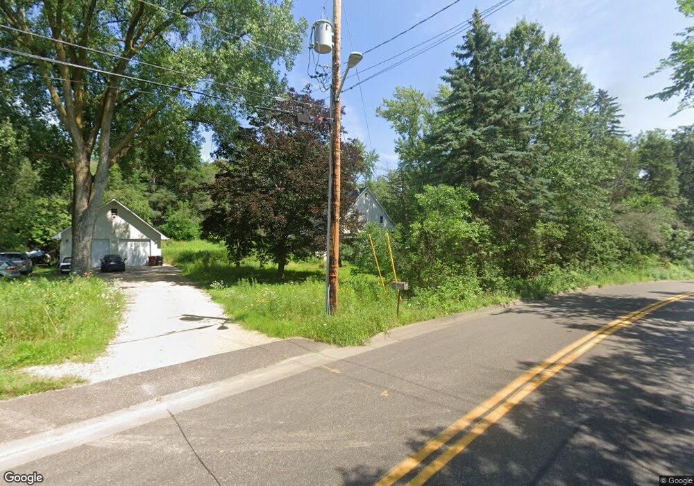
1720 Desoto St Saint Paul, MN 55117
Parkside NeighborhoodEstimated Value: $329,000 - $385,000
3
Beds
3
Baths
1,440
Sq Ft
$246/Sq Ft
Est. Value
About This Home
This home is located at 1720 Desoto St, Saint Paul, MN 55117 and is currently estimated at $354,758, approximately $246 per square foot. 1720 Desoto St is a home located in Ramsey County with nearby schools including Edgerton Elementary School, Roseville Area Middle School, and Roseville Area Senior High School.
Ownership History
Date
Name
Owned For
Owner Type
Purchase Details
Closed on
Oct 3, 2018
Sold by
Ceynar Abigail Hruby and Hruby Vicki Ann
Bought by
Sharpe Melissa and Sharpe Earl
Current Estimated Value
Home Financials for this Owner
Home Financials are based on the most recent Mortgage that was taken out on this home.
Original Mortgage
$248,021
Outstanding Balance
$216,289
Interest Rate
4.5%
Mortgage Type
New Conventional
Estimated Equity
$138,469
Create a Home Valuation Report for This Property
The Home Valuation Report is an in-depth analysis detailing your home's value as well as a comparison with similar homes in the area
Home Values in the Area
Average Home Value in this Area
Purchase History
| Date | Buyer | Sale Price | Title Company |
|---|---|---|---|
| Sharpe Melissa | $250,000 | Land Title Inc |
Source: Public Records
Mortgage History
| Date | Status | Borrower | Loan Amount |
|---|---|---|---|
| Open | Sharpe Melissa | $248,021 |
Source: Public Records
Tax History Compared to Growth
Tax History
| Year | Tax Paid | Tax Assessment Tax Assessment Total Assessment is a certain percentage of the fair market value that is determined by local assessors to be the total taxable value of land and additions on the property. | Land | Improvement |
|---|---|---|---|---|
| 2025 | $3,974 | $311,000 | $140,000 | $171,000 |
| 2023 | $3,974 | $280,900 | $140,000 | $140,900 |
| 2022 | $3,362 | $286,400 | $140,000 | $146,400 |
| 2021 | $3,170 | $228,500 | $140,000 | $88,500 |
| 2020 | $3,168 | $230,600 | $140,000 | $90,600 |
| 2019 | $3,176 | $216,500 | $140,000 | $76,500 |
| 2018 | $3,274 | $211,300 | $119,000 | $92,300 |
| 2017 | $2,990 | $211,700 | $119,000 | $92,700 |
| 2016 | $2,966 | $0 | $0 | $0 |
| 2015 | $2,644 | $200,300 | $108,100 | $92,200 |
| 2014 | $2,162 | $0 | $0 | $0 |
Source: Public Records
Map
Nearby Homes
- XXXX Larpenteur Ave E
- 1615 Payne Ave
- 321 Summer Place E
- 721 California Ave E
- 1477 Arkwright St Unit A
- 762 Maple Hills Dr E Unit C
- 727 Maple Hills Dr Unit A
- 1984 Arkwright St
- 739 Maple Hills Dr E Unit H
- 2002 Arkwright St N
- 1426 Burr St
- 740 Hoyt Ave E
- 1987 Lee St
- 1436 Payne Ave
- 692 Wheelock Pkwy E
- 1415 Payne Ave
- 144 Larpenteur Ave E
- 1418 Payne Ave
- 3XX Belmont Ln
- 662 Sherwood Ave
- 500 Kingston Ave
- 1717 Desoto St
- 528 Kingston Ave
- 1699 Desoto St
- 499 Kingston Ave
- 1721 Desoto St
- 527 Kingston Ave
- 453 Larpenteur Ave E
- 531 Larpenteur Ave E
- 1760 Desoto St
- 535 Larpenteur Ave E
- xxx Larepenteur Ave E
- 1703 Bradley St
- 1760 Bradley St
- 1760 Bradley St
- 1747 Desoto St
- 1764 Desoto St
- 1771 Burr St
- 488 488 Larpenteur-Avenue-e
- 480 480 Larpenteur-Avenue-e
