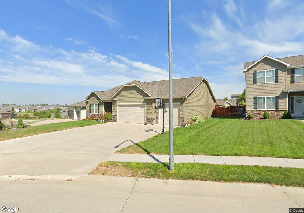
17226 Camp St Omaha, NE 68136
Southwest Omaha NeighborhoodEstimated Value: $466,198 - $518,000
4
Beds
3
Baths
2,624
Sq Ft
$189/Sq Ft
Est. Value
About This Home
This home is located at 17226 Camp St, Omaha, NE 68136 and is currently estimated at $495,050, approximately $188 per square foot. 17226 Camp St is a home located in Sarpy County with nearby schools including Palisades Elementary School, Gretna Middle School, and Gretna High School.
Ownership History
Date
Name
Owned For
Owner Type
Purchase Details
Closed on
Aug 30, 2016
Sold by
Charleston Homes Llc
Bought by
Gunsolly Tramia L and Gunsolly Tina M
Current Estimated Value
Home Financials for this Owner
Home Financials are based on the most recent Mortgage that was taken out on this home.
Original Mortgage
$293,344
Outstanding Balance
$234,462
Interest Rate
3.45%
Estimated Equity
$260,588
Create a Home Valuation Report for This Property
The Home Valuation Report is an in-depth analysis detailing your home's value as well as a comparison with similar homes in the area
Home Values in the Area
Average Home Value in this Area
Purchase History
| Date | Buyer | Sale Price | Title Company |
|---|---|---|---|
| Gunsolly Tramia L | $309,000 | Nebraska Title Company Om |
Source: Public Records
Mortgage History
| Date | Status | Borrower | Loan Amount |
|---|---|---|---|
| Open | Gunsolly Tramia L | $293,344 |
Source: Public Records
Tax History Compared to Growth
Tax History
| Year | Tax Paid | Tax Assessment Tax Assessment Total Assessment is a certain percentage of the fair market value that is determined by local assessors to be the total taxable value of land and additions on the property. | Land | Improvement |
|---|---|---|---|---|
| 2025 | $8,131 | $443,270 | $73,000 | $370,270 |
| 2024 | $9,409 | $424,424 | $63,000 | $361,424 |
| 2023 | $9,409 | $407,190 | $58,000 | $349,190 |
| 2022 | $8,182 | $348,209 | $53,000 | $295,209 |
| 2021 | $7,805 | $337,567 | $53,000 | $284,567 |
| 2020 | $7,654 | $332,621 | $47,000 | $285,621 |
| 2019 | $7,227 | $314,824 | $47,000 | $267,824 |
| 2018 | $7,187 | $297,801 | $43,000 | $254,801 |
| 2017 | $7,461 | $296,331 | $43,000 | $253,331 |
| 2016 | $665 | $25,800 | $25,800 | $0 |
| 2015 | $1,102 | $43,000 | $43,000 | $0 |
| 2014 | $510 | $19,440 | $19,440 | $0 |
| 2012 | -- | $16,920 | $16,920 | $0 |
Source: Public Records
Map
Nearby Homes
- 17110 Palisades Dr
- 17221 Musket St
- TBD Redwood St
- Lot 143 Garden Oaks
- 17107 Chutney Dr
- 17125 Colony Dr
- 17025 Centennial Rd
- 17609 Musket St
- 16812 Colony Cir
- 9902 S 173rd Cir
- 9930 S 172nd Cir
- 17130 Cypress St
- 9711 S 176th St
- 9805 S 176th St
- 9307 S 177th St
- 10101 S 173rd Cir
- 17161 Oakmont St
- TBD Lot 297
- TBD Augsuta Cir
- Lot 51 Cheyenne Ridge
- 17222 Camp St
- 17230 Colony Dr
- 17230 Colony Dr
- 17218 Camp St
- 17217 Camp St
- 17241 Colony Dr
- 17237 Colony Dr
- 17228 Palisades Dr
- 17245 Colony Dr
- 17214 Camp St
- 17232 Palisades Dr
- 17130 Colony Dr
- 17224 Palisades Dr
- 17213 Camp St
- 17236 Palisades Dr
- 17220 Palisades Dr
- 17233 Colony Dr
- 17249 Colony Dr
- 17240 Palisades Dr
- 17216 Palisades Dr