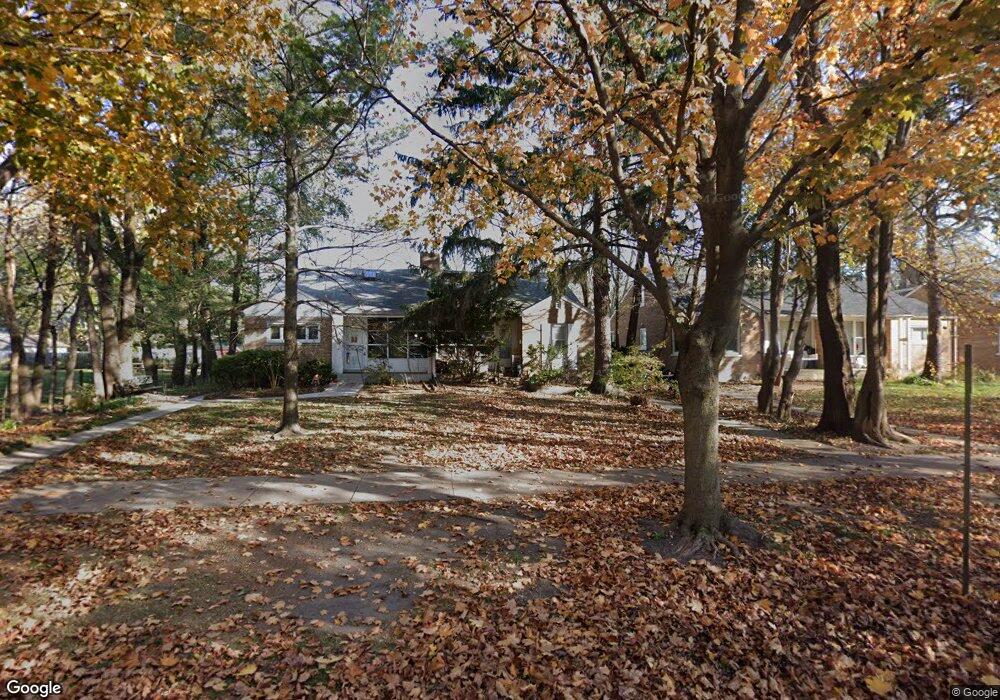
1723 Ashland Ave Evanston, IL 60201
West Evanston NeighborhoodEstimated Value: $331,000 - $425,490
3
Beds
2
Baths
1,290
Sq Ft
$287/Sq Ft
Est. Value
About This Home
This home is located at 1723 Ashland Ave, Evanston, IL 60201 and is currently estimated at $370,497, approximately $287 per square foot. 1723 Ashland Ave is a home located in Cook County with nearby schools including Dewey Elementary School, Washington Elementary School, and Nichols Middle School.
Ownership History
Date
Name
Owned For
Owner Type
Purchase Details
Closed on
Jan 7, 2010
Sold by
Kaup Jeremy J
Bought by
Xu Di
Current Estimated Value
Create a Home Valuation Report for This Property
The Home Valuation Report is an in-depth analysis detailing your home's value as well as a comparison with similar homes in the area
Home Values in the Area
Average Home Value in this Area
Purchase History
| Date | Buyer | Sale Price | Title Company |
|---|---|---|---|
| Xu Di | $100,000 | Greater Metropolitan Title L |
Source: Public Records
Tax History Compared to Growth
Tax History
| Year | Tax Paid | Tax Assessment Tax Assessment Total Assessment is a certain percentage of the fair market value that is determined by local assessors to be the total taxable value of land and additions on the property. | Land | Improvement |
|---|---|---|---|---|
| 2024 | $7,913 | $36,000 | $5,000 | $31,000 |
| 2023 | $7,568 | $36,000 | $5,000 | $31,000 |
| 2022 | $7,568 | $36,000 | $5,000 | $31,000 |
| 2021 | $7,728 | $32,450 | $7,424 | $25,026 |
| 2020 | $7,684 | $32,450 | $7,424 | $25,026 |
| 2019 | $8,177 | $38,327 | $7,424 | $30,903 |
| 2018 | $6,676 | $27,803 | $6,144 | $21,659 |
| 2017 | $8,210 | $34,146 | $6,144 | $28,002 |
| 2016 | $8,009 | $34,146 | $6,144 | $28,002 |
| 2015 | $7,194 | $29,453 | $4,992 | $24,461 |
| 2014 | $7,140 | $29,453 | $4,992 | $24,461 |
| 2013 | $6,960 | $29,453 | $4,992 | $24,461 |
Source: Public Records
Map
Nearby Homes
- 1621 Church St
- 1801 Lyons St
- 1228 Emerson St Unit 304
- 1739 Dodge Ave
- 1813 Dodge Ave
- 1585 Ridge Ave Unit 506
- 1585 Ridge Ave Unit 404
- 1720 Oak Ave Unit 502
- 1720 Oak Ave Unit 701
- 1720 Oak Ave Unit 706
- 1801 Brown Ave
- 2005 Darrow Ave
- 1640 Maple Ave Unit 1202
- 1640 Maple Ave Unit 304
- 1640 Maple Ave Unit 804
- 2026 Green Bay Rd
- 1720 Maple Ave Unit 2710
- 1720 Maple Ave Unit 2380
- 1720 Maple Ave Unit 1360
- 1720 Maple Ave Unit 1170
- 1721 Ashland Ave
- 1725 Ashland Ave
- 1717 Ashland Ave
- 1715 Ashland Ave
- 1711 Ashland Ave
- 1720 Wesley Ave
- 1425 Church St
- 1724 Wesley Ave
- 1419 Church St
- 1712 Wesley Ave
- 1427 Church St
- 1728 Wesley Ave
- 1710 Wesley Ave
- 1722 Ashland Ave
- 1716 Ashland Ave
- 1726 Ashland Ave
- 1414 Lyons St
- 1415 Church St
- 1708 Wesley Ave
- 1712 Ashland Ave