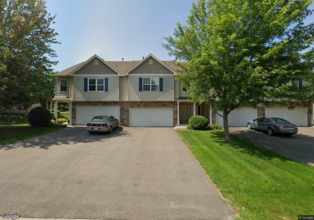
1724 Philipp Dr Shakopee, MN 55379
Estimated Value: $305,189 - $320,000
3
Beds
2
Baths
1,232
Sq Ft
$253/Sq Ft
Est. Value
About This Home
This home is located at 1724 Philipp Dr, Shakopee, MN 55379 and is currently estimated at $311,297, approximately $252 per square foot. 1724 Philipp Dr is a home located in Scott County with nearby schools including Eagle Creek Elementary School, East Middle School, and Shakopee Senior High School.
Ownership History
Date
Name
Owned For
Owner Type
Purchase Details
Closed on
Nov 18, 2013
Sold by
Boje Ian
Bought by
Perrine Brandon
Current Estimated Value
Home Financials for this Owner
Home Financials are based on the most recent Mortgage that was taken out on this home.
Original Mortgage
$145,000
Outstanding Balance
$108,433
Interest Rate
4.3%
Mortgage Type
New Conventional
Estimated Equity
$202,864
Purchase Details
Closed on
Jun 22, 2005
Sold by
Donnay Homes Inc
Bought by
Perrine Brandon and Boje Ian
Create a Home Valuation Report for This Property
The Home Valuation Report is an in-depth analysis detailing your home's value as well as a comparison with similar homes in the area
Home Values in the Area
Average Home Value in this Area
Purchase History
| Date | Buyer | Sale Price | Title Company |
|---|---|---|---|
| Perrine Brandon | -- | Ancona Title & Escrow | |
| Perrine Brandon | $209,505 | -- |
Source: Public Records
Mortgage History
| Date | Status | Borrower | Loan Amount |
|---|---|---|---|
| Open | Perrine Brandon | $145,000 |
Source: Public Records
Tax History Compared to Growth
Tax History
| Year | Tax Paid | Tax Assessment Tax Assessment Total Assessment is a certain percentage of the fair market value that is determined by local assessors to be the total taxable value of land and additions on the property. | Land | Improvement |
|---|---|---|---|---|
| 2025 | $2,744 | $290,400 | $76,100 | $214,300 |
| 2024 | $2,826 | $277,000 | $72,400 | $204,600 |
| 2023 | $2,906 | $273,100 | $71,000 | $202,100 |
| 2022 | $2,798 | $275,800 | $72,700 | $203,100 |
| 2021 | $2,454 | $232,000 | $57,000 | $175,000 |
| 2020 | $2,232 | $224,700 | $52,500 | $172,200 |
| 2019 | $2,236 | $185,600 | $44,400 | $141,200 |
| 2018 | $2,206 | $0 | $0 | $0 |
| 2016 | $2,066 | $0 | $0 | $0 |
| 2014 | -- | $0 | $0 | $0 |
Source: Public Records
Map
Nearby Homes
- 1977 Dahlia Dr
- 1521 Philipp Way
- 1533 Philipp Way
- 1497 Philipp Way
- 1515 Philipp Way
- 1491 Philipp Way
- 1545 Philipp Way
- 1480 Philipp Way
- 1520 Philipp Way
- 3076 Trinity Dr
- 1624 Philipp Way
- 2942 Trinity Dr
- 2910 Trinity Dr
- 2931 Trinity Dr
- 2886 Trinity Dr
- 3043 Trinity Dr
- 3027 Trinity Dr
- 3009 Trinity Dr
- 2995 Trinity Dr
- 2963 Trinity Dr
- 1722 Philipp Dr
- 1726 Philipp Dr
- 1720 Philipp Dr
- 1738 Philipp Dr
- 1716 Philipp Dr
- 2935 Wyndam Ct
- 1714 Philipp Dr
- 1742 Philipp Dr
- 2931 Wyndam Ct
- 2939 Wyndam Ct
- 1712 Philipp Dr
- 2927 Wyndam Ct
- 1744 Philipp Dr
- 2943 Wyndam Ct
- 2932 Philipp Ave
- 2923 Wyndam Ct
- 1723 Philipp Dr
- 2947 Wyndam Ct
- 2936 Philipp Ave
- 1727 Philipp Dr