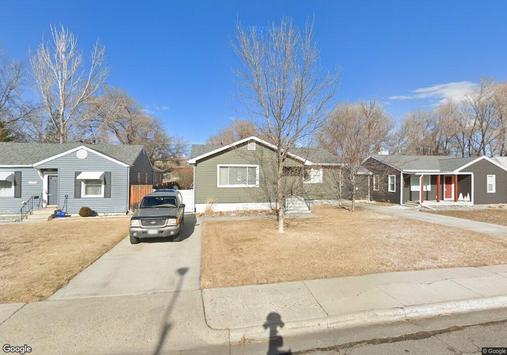
1725 Avenue D Billings, MT 59102
North Central Billings NeighborhoodEstimated Value: $290,000 - $316,943
2
Beds
1
Bath
1,952
Sq Ft
$157/Sq Ft
Est. Value
About This Home
This home is located at 1725 Avenue D, Billings, MT 59102 and is currently estimated at $305,736, approximately $156 per square foot. 1725 Avenue D is a home located in Yellowstone County with nearby schools including Rose Park School, Lewis & Clark Junior High School, and Billings Senior High School.
Ownership History
Date
Name
Owned For
Owner Type
Purchase Details
Closed on
Mar 16, 2015
Sold by
Amidei Christopher and Warren Kelly
Bought by
Tooke Richard
Current Estimated Value
Home Financials for this Owner
Home Financials are based on the most recent Mortgage that was taken out on this home.
Original Mortgage
$146,800
Outstanding Balance
$112,143
Interest Rate
3.61%
Mortgage Type
New Conventional
Estimated Equity
$193,593
Purchase Details
Closed on
Dec 15, 2010
Sold by
Tipton Terry
Bought by
Amidei Christopher and Warren Kelly
Home Financials for this Owner
Home Financials are based on the most recent Mortgage that was taken out on this home.
Original Mortgage
$141,910
Interest Rate
4.25%
Mortgage Type
FHA
Purchase Details
Closed on
Jun 10, 2010
Sold by
Demeyer William A
Bought by
Tipton Terry
Create a Home Valuation Report for This Property
The Home Valuation Report is an in-depth analysis detailing your home's value as well as a comparison with similar homes in the area
Home Values in the Area
Average Home Value in this Area
Purchase History
| Date | Buyer | Sale Price | Title Company |
|---|---|---|---|
| Tooke Richard | -- | First Montana Title | |
| Amidei Christopher | -- | St | |
| Tipton Terry | -- | St |
Source: Public Records
Mortgage History
| Date | Status | Borrower | Loan Amount |
|---|---|---|---|
| Open | Tooke Richard | $146,800 | |
| Previous Owner | Amidei Christopher | $141,910 |
Source: Public Records
Tax History Compared to Growth
Tax History
| Year | Tax Paid | Tax Assessment Tax Assessment Total Assessment is a certain percentage of the fair market value that is determined by local assessors to be the total taxable value of land and additions on the property. | Land | Improvement |
|---|---|---|---|---|
| 2025 | $2,516 | $255,700 | $47,135 | $208,565 |
| 2024 | $2,516 | $247,000 | $43,756 | $203,244 |
| 2023 | $2,514 | $247,000 | $43,756 | $203,244 |
| 2022 | $2,127 | $181,400 | $0 | $0 |
| 2021 | $2,024 | $181,400 | $0 | $0 |
| 2020 | $2,111 | $181,000 | $0 | $0 |
| 2019 | $2,020 | $181,000 | $0 | $0 |
| 2018 | $2,001 | $176,100 | $0 | $0 |
| 2017 | $1,631 | $176,100 | $0 | $0 |
| 2016 | $1,794 | $162,600 | $0 | $0 |
| 2015 | $1,756 | $162,600 | $0 | $0 |
| 2014 | $1,653 | $81,142 | $0 | $0 |
Source: Public Records
Map
Nearby Homes
- 2020 Plaza Dr
- 1505 Avenue F
- 1734 Mariposa Ln
- 1834 Belvedere Dr
- 1704 Burlington Ave
- 1944 Colton Blvd
- 2035 Avenue D
- 1539 Burlington Ave
- 46 Shadow Place Unit 6B
- 2124 Dahlia Ln
- 1607 21st St W
- 1720 Lewis Ave
- 2414 Ivy Ln
- 6 Heatherwood Ln
- 1833 Iris Ln
- 1640 Lewis Ave
- 1815 Clark Ave
- 24 Heatherwood Ln Unit 12D
- 1329 Parkhill Dr
- 3 Carrie Lynn Dr