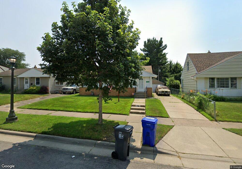
1726 Euclid St Saint Paul, MN 55106
Battle Creek NeighborhoodEstimated Value: $261,000 - $277,000
2
Beds
2
Baths
376
Sq Ft
$713/Sq Ft
Est. Value
About This Home
This home is located at 1726 Euclid St, Saint Paul, MN 55106 and is currently estimated at $268,095, approximately $713 per square foot. 1726 Euclid St is a home located in Ramsey County with nearby schools including Battle Creek Elementary School, Battle Creek Middle School, and Harding Senior High School.
Ownership History
Date
Name
Owned For
Owner Type
Purchase Details
Closed on
Feb 15, 2017
Sold by
Meron Andrew D
Bought by
Richard Christina M
Current Estimated Value
Home Financials for this Owner
Home Financials are based on the most recent Mortgage that was taken out on this home.
Original Mortgage
$161,422
Outstanding Balance
$133,651
Interest Rate
4.2%
Mortgage Type
FHA
Estimated Equity
$134,444
Purchase Details
Closed on
Feb 27, 2002
Sold by
Adeola Alile and Adeola Clement
Bought by
Meron Andrew D
Create a Home Valuation Report for This Property
The Home Valuation Report is an in-depth analysis detailing your home's value as well as a comparison with similar homes in the area
Home Values in the Area
Average Home Value in this Area
Purchase History
| Date | Buyer | Sale Price | Title Company |
|---|---|---|---|
| Richard Christina M | $169,381 | First American Title Co | |
| Meron Andrew D | $135,500 | -- |
Source: Public Records
Mortgage History
| Date | Status | Borrower | Loan Amount |
|---|---|---|---|
| Open | Richard Christina M | $161,422 |
Source: Public Records
Tax History Compared to Growth
Tax History
| Year | Tax Paid | Tax Assessment Tax Assessment Total Assessment is a certain percentage of the fair market value that is determined by local assessors to be the total taxable value of land and additions on the property. | Land | Improvement |
|---|---|---|---|---|
| 2025 | $4,510 | $268,300 | $48,700 | $219,600 |
| 2023 | $4,510 | $261,000 | $30,300 | $230,700 |
| 2022 | $4,058 | $253,800 | $30,300 | $223,500 |
| 2021 | $3,664 | $220,000 | $30,300 | $189,700 |
| 2020 | $3,226 | $201,900 | $30,300 | $171,600 |
| 2019 | $2,956 | $180,700 | $30,300 | $150,400 |
| 2018 | $2,158 | $179,500 | $30,300 | $149,200 |
| 2017 | $2,046 | $141,300 | $30,300 | $111,000 |
| 2016 | $1,918 | $0 | $0 | $0 |
| 2015 | $1,924 | $118,300 | $30,300 | $88,000 |
| 2014 | $1,680 | $0 | $0 | $0 |
Source: Public Records
Map
Nearby Homes
- 1821 Wilson Ave
- 1685 Fremont Ave
- 1600 Old Hudson Rd
- 1538 Wilson Ave
- 1935 Fremont Ave E
- 1751 Margaret St
- 1964 4th St E
- 267 Hazelwood St
- 465 Ruth St N
- 1683 Minnehaha Ave E
- 237 Sigurd St
- 1675 Minnehaha Ave E
- 1551 Margaret St
- 1450 Fremont Ave
- 1443 Pacific St
- 1590 Minnehaha Ave E
- 1489 6th St E
- 1935 Warbler Ln
- 1764 Bush Ave
- 1493 Margaret St
- 1720 Euclid St
- 1728 Euclid St
- 1730 Euclid St
- 1727 Wilson Ave
- 1721 Wilson Ave
- 1733 Wilson Ave
- 1716 Euclid St
- 1716 1716 Euclid-Street-
- 1740 Euclid St
- 1737 Wilson Ave
- 1721 Euclid St
- 1729 Euclid St
- 1715 Wilson Ave
- 1743 Wilson Ave
- 1743 1743 Wilson-Avenue-
- 1712 Euclid St
- 1746 Euclid St
- 1733 Euclid St
- 1715 Euclid St
- 1711 Wilson Ave