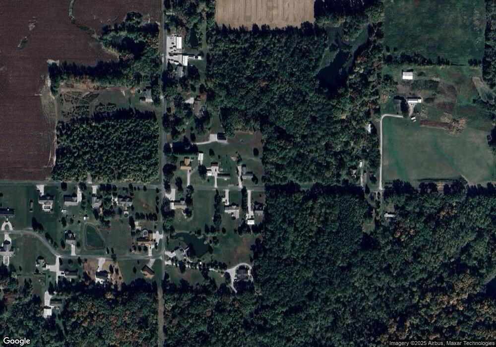
1727 Ullman Rd Centralia, IL 62801
Estimated Value: $128,340 - $217,000
--
Bed
--
Bath
--
Sq Ft
1
Acres
About This Home
This home is located at 1727 Ullman Rd, Centralia, IL 62801 and is currently estimated at $156,585. 1727 Ullman Rd is a home located in Marion County with nearby schools including Central City Elementary School and Centralia High School.
Ownership History
Date
Name
Owned For
Owner Type
Purchase Details
Closed on
Dec 19, 2016
Sold by
Bourne Karen S and Greer Jane Ann
Bought by
Ponyi Amanda
Current Estimated Value
Home Financials for this Owner
Home Financials are based on the most recent Mortgage that was taken out on this home.
Original Mortgage
$66,984
Outstanding Balance
$55,660
Interest Rate
4.5%
Mortgage Type
FHA
Estimated Equity
$100,925
Purchase Details
Closed on
Jul 7, 2009
Sold by
Greer Joe D and Greer Edith M
Bought by
Bourne Karen S and Greer Jane Ann
Create a Home Valuation Report for This Property
The Home Valuation Report is an in-depth analysis detailing your home's value as well as a comparison with similar homes in the area
Home Values in the Area
Average Home Value in this Area
Purchase History
| Date | Buyer | Sale Price | Title Company |
|---|---|---|---|
| Ponyi Amanda | $68,500 | Quad County Title | |
| Bourne Karen S | -- | None Available |
Source: Public Records
Mortgage History
| Date | Status | Borrower | Loan Amount |
|---|---|---|---|
| Open | Ponyi Amanda | $66,984 |
Source: Public Records
Tax History Compared to Growth
Tax History
| Year | Tax Paid | Tax Assessment Tax Assessment Total Assessment is a certain percentage of the fair market value that is determined by local assessors to be the total taxable value of land and additions on the property. | Land | Improvement |
|---|---|---|---|---|
| 2024 | $1,554 | $33,650 | $3,650 | $30,000 |
| 2023 | $1,586 | $31,450 | $3,410 | $28,040 |
| 2022 | $1,611 | $28,590 | $3,100 | $25,490 |
| 2021 | $1,517 | $26,720 | $2,900 | $23,820 |
| 2020 | $1,490 | $25,920 | $2,810 | $23,110 |
| 2019 | $1,461 | $24,970 | $2,710 | $22,260 |
| 2018 | $1,492 | $24,970 | $2,710 | $22,260 |
| 2017 | $1,469 | $24,480 | $2,660 | $21,820 |
| 2016 | $1,936 | $23,540 | $2,560 | $20,980 |
| 2015 | $7 | $7,910 | $2,560 | $5,350 |
| 2012 | $2 | $6,660 | $1,760 | $4,900 |
Source: Public Records
Map
Nearby Homes
- 1966 Ross Rd
- 1629 Green Street Rd
- 1617 Green Street Rd
- 2039 Shook Ln
- 1670 Woods Ln
- 1166 Community Beach Rd
- 2071 Lindell Ave
- 17 Crestwood Ln
- 7 Clearlake Dr
- 22 Clearlake Dr
- 7 Lakewood Dr
- 2814 Chouteau Ave
- 27 Cessna Dr
- 57 Sherwood Dr
- 59 Sherwood Dr
- 11 Ridge Rd
- 1080 Race Track Rd
- 2562 State Route 161
- 44 Edgewood Ln S
- 1 Estate Dr
