17270 Oak Rd Jackson, CA 95642
Estimated Value: $752,000 - $914,133
4
Beds
3
Baths
2,781
Sq Ft
$307/Sq Ft
Est. Value
About This Home
This home is located at 17270 Oak Rd, Jackson, CA 95642 and is currently estimated at $854,711, approximately $307 per square foot. 17270 Oak Rd is a home located in Amador County with nearby schools including Jackson Elementary School, Jackson Junior High School, and Argonaut High School.
Ownership History
Date
Name
Owned For
Owner Type
Purchase Details
Closed on
Jul 19, 2007
Sold by
Drotleff Edward H and Drotleff Vera
Bought by
Reano Anthony S and Reano Nancy C
Current Estimated Value
Home Financials for this Owner
Home Financials are based on the most recent Mortgage that was taken out on this home.
Original Mortgage
$175,000
Outstanding Balance
$110,688
Interest Rate
6.73%
Mortgage Type
Purchase Money Mortgage
Estimated Equity
$744,023
Create a Home Valuation Report for This Property
The Home Valuation Report is an in-depth analysis detailing your home's value as well as a comparison with similar homes in the area
Purchase History
| Date | Buyer | Sale Price | Title Company |
|---|---|---|---|
| Reano Anthony S | $649,000 | Western Land Title Co Inc |
Source: Public Records
Mortgage History
| Date | Status | Borrower | Loan Amount |
|---|---|---|---|
| Open | Reano Anthony S | $175,000 |
Source: Public Records
Tax History
| Year | Tax Paid | Tax Assessment Tax Assessment Total Assessment is a certain percentage of the fair market value that is determined by local assessors to be the total taxable value of land and additions on the property. | Land | Improvement |
|---|---|---|---|---|
| 2025 | $8,604 | $865,087 | $249,192 | $615,895 |
| 2024 | $8,604 | $848,125 | $244,306 | $603,819 |
| 2023 | $8,433 | $831,496 | $239,516 | $591,980 |
| 2022 | $8,231 | $815,193 | $234,820 | $580,373 |
| 2021 | $8,072 | $799,210 | $230,216 | $568,994 |
| 2020 | $7,992 | $791,016 | $227,856 | $563,160 |
| 2019 | $7,834 | $775,507 | $223,389 | $552,118 |
| 2018 | $7,683 | $760,302 | $219,009 | $541,293 |
| 2017 | $6,723 | $665,404 | $190,756 | $474,648 |
| 2016 | $5,998 | $594,111 | $170,318 | $423,793 |
| 2015 | $5,716 | $565,820 | $162,208 | $403,612 |
| 2014 | $5,439 | $538,876 | $154,484 | $384,392 |
Source: Public Records
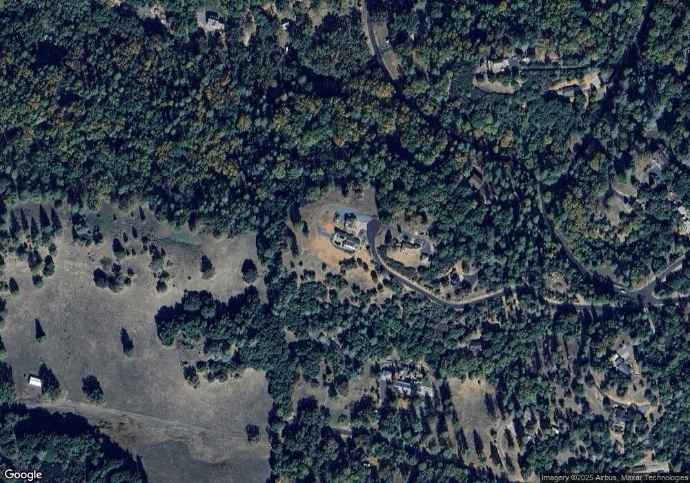
Map
Nearby Homes
- 17234 Oak Rd
- 16890 Wilderness Way
- 17542 Climax Rd
- 18140 Bourbon St
- 17780 Redberry Ln
- 17772 Nills Way
- 16979 Ridge Rd
- 18450 Sugar Loaf Rd
- 13771 West Ct
- 18000 W Clinton Rd
- 18395 Climax Rd
- 0 Bowman Rd Unit 225148171
- 17630 Ridge Rd
- 13309 Taves Rd
- 11051 Upper Previtali Rd
- 13021 Ridge View Dr
- 11083 Upper Previtali Rd
- 13171 Ridge Ct
- 12210 Irish Ct
- 18892 Ellinwood Way
- 15199 Oak Rd
- 17195 Valley Blvd
- 17339 Oak Rd
- 12891 Pioneer Dr
- 12903 Pioneer Dr
- 17251 Valley Blvd
- 17300 Oak Rd
- 12900 Pioneer Dr
- 17434 Kit Ln
- 17060 Wilderness Way
- 13001 Pioneer Dr
- 17381 Valley Blvd
- 17460 Kit Ln
- 17196 Valley Blvd
- 17050 Wilderness Way
- 17264 Kit Ln
- 12501 Pioneer Dr
- 17387 Valley Blvd
- 17250 Valley Blvd
- 17465 Kit Ln
Your Personal Tour Guide
Ask me questions while you tour the home.